Fort Vechten drone footage
10 videos · location in Bunnik
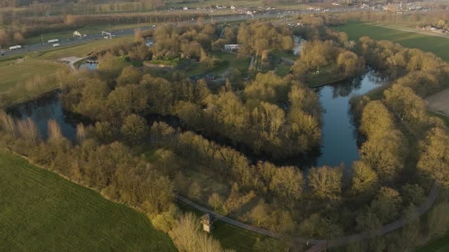
Fort bij Vechten in Bunnik with its moat at golden hour
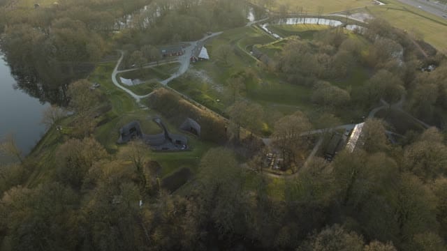
Pull-back over Fort bij Vechten in Bunnik in hazy light
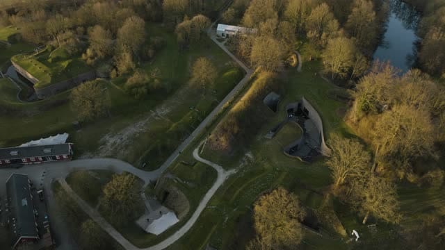
Orbit above the bunkers and ramparts of Fort bij Vechten in Bunnik
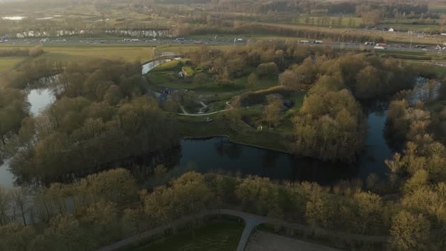
Flyover towards Fort Vechten near Bunnik at golden hour
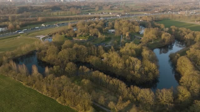
Over the moat towards Fort Vechten near Bunnik at golden hour
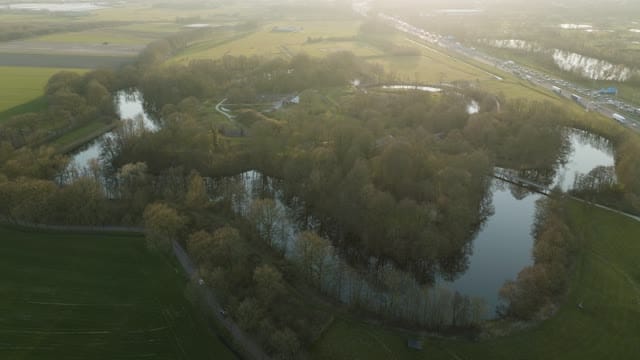
Fort Vechten near Bunnik with moats in hazy backlight
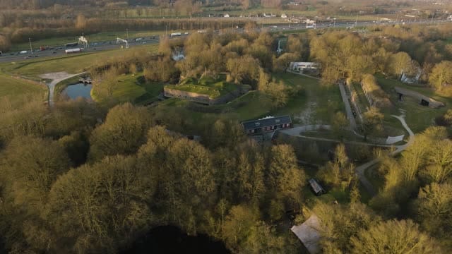
Pull-back from Fort Vechten near Bunnik at golden hour
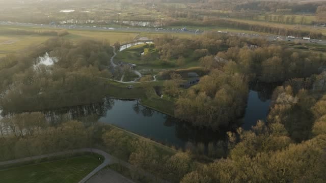
Fort Vechten near Bunnik with moat and trees in soft evening light
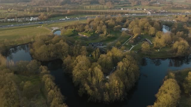
Fort Vechten near Bunnik ringed by its moat at golden hour
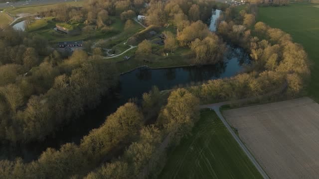
Flyover from farmland and moat towards Fort Vechten near Bunnik
About Fort Vechten
Fort bij Vechten, often simply called Fort Vechten, sits in the municipality of Bunnik, just south-east of Utrecht. It is one of the forts of the New Dutch Waterline, the military defence line that is part of the Dutch Water Defence Lines UNESCO World Heritage Site, and it now houses the Waterline Museum. From above, the fort reads as a clear geometric footprint: earthen ramparts and grass-covered bunkers enclosed by a wide moat, with trees and shrubs softening the outlines and giving the site a wooded feel. The A12 motorway runs right alongside, so footage easily pairs the stillness of nineteenth-century fortifications with passing traffic. Farmland and meadows surround the complex, opening onto the flat landscape of the river area. The clips in the collection capture the fort mostly at golden hour, in soft evening light and in hazy backlight, using orbits around the bunkers, pull-backs that reveal the moat and its surroundings, and flyovers that approach from the fields across the water towards the ramparts.
Whether you may fly a drone over Fort Vechten depends on the exact spot and time. Always check the current rules on the official drone map.
Nearby
Themes in Fort Vechten
Fort Vechten: need something specific?
Can't find the shot you need? Our certified pilots will film it to order.
Book a custom drone shoot