Geuldal drone footage
12 videos · location in Limburg
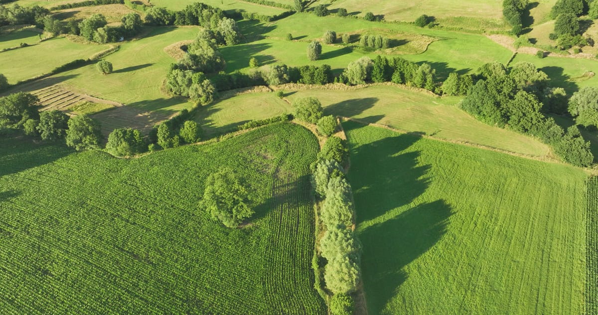
Meadows, maize field and tree lines near Epen in evening light
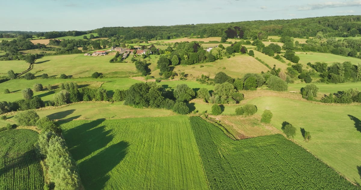
Rising view over the rolling Geul valley near Epen in summer
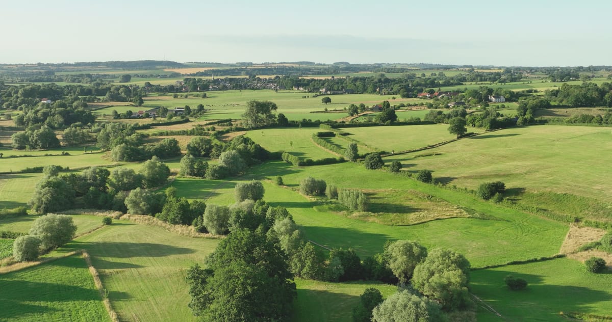
Pulling back over meadows and hedgerows in the Geul valley near Epen
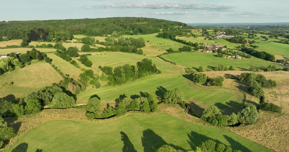
Meandering Geul through the meadows of the Geuldal near Epen
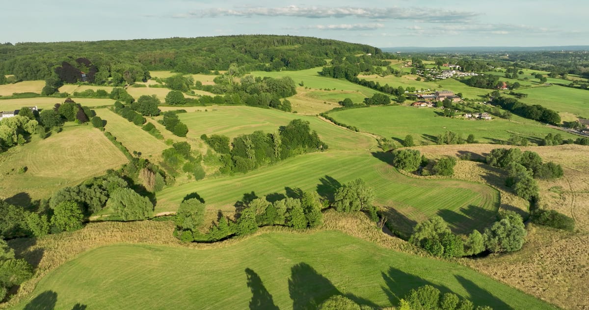
Meandering stream through hilly meadows near Epen
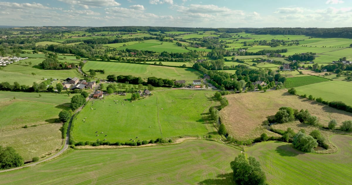
Cows grazing in the green Geul valley near Epen in summer
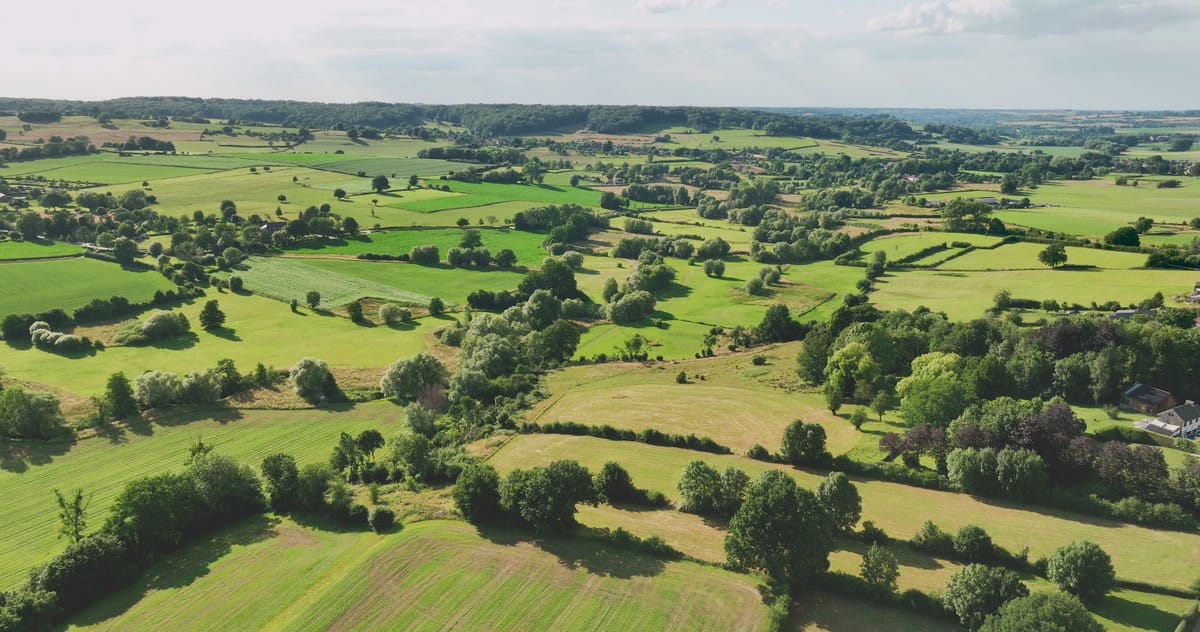
Rolling meadows and hedgerows in the Geuldal near Epen in summer
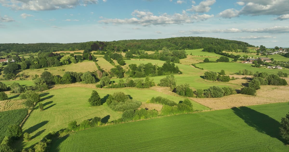
Flight over the hilly Geul valley near Epen in South Limburg
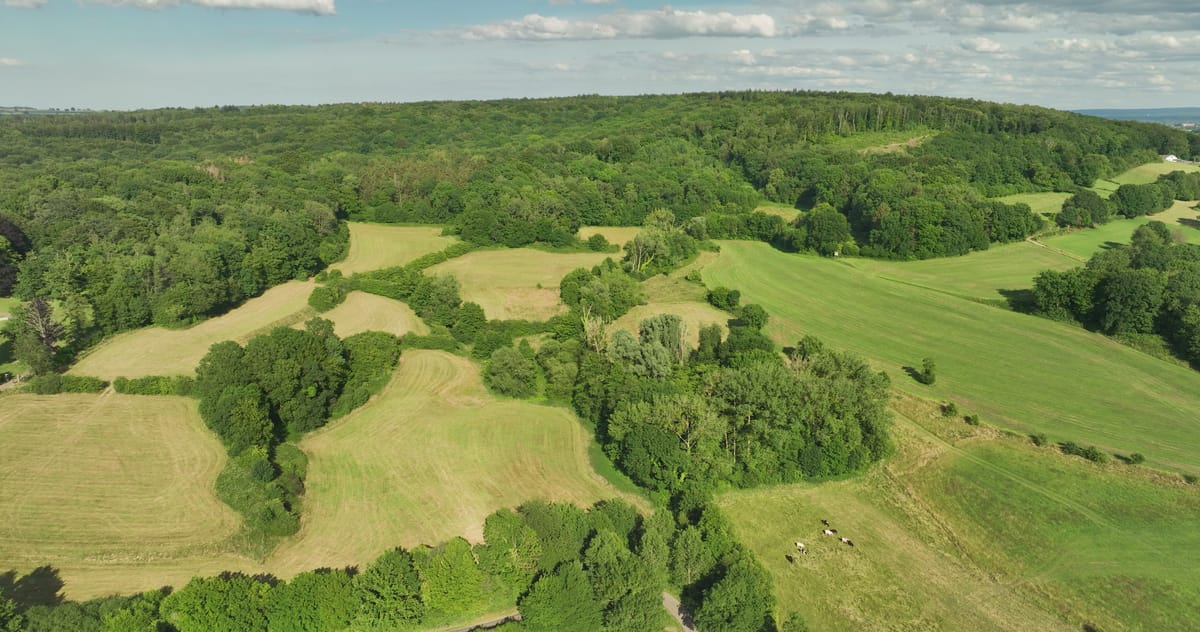
Rolling hay meadows and forest near Epen in South Limburg
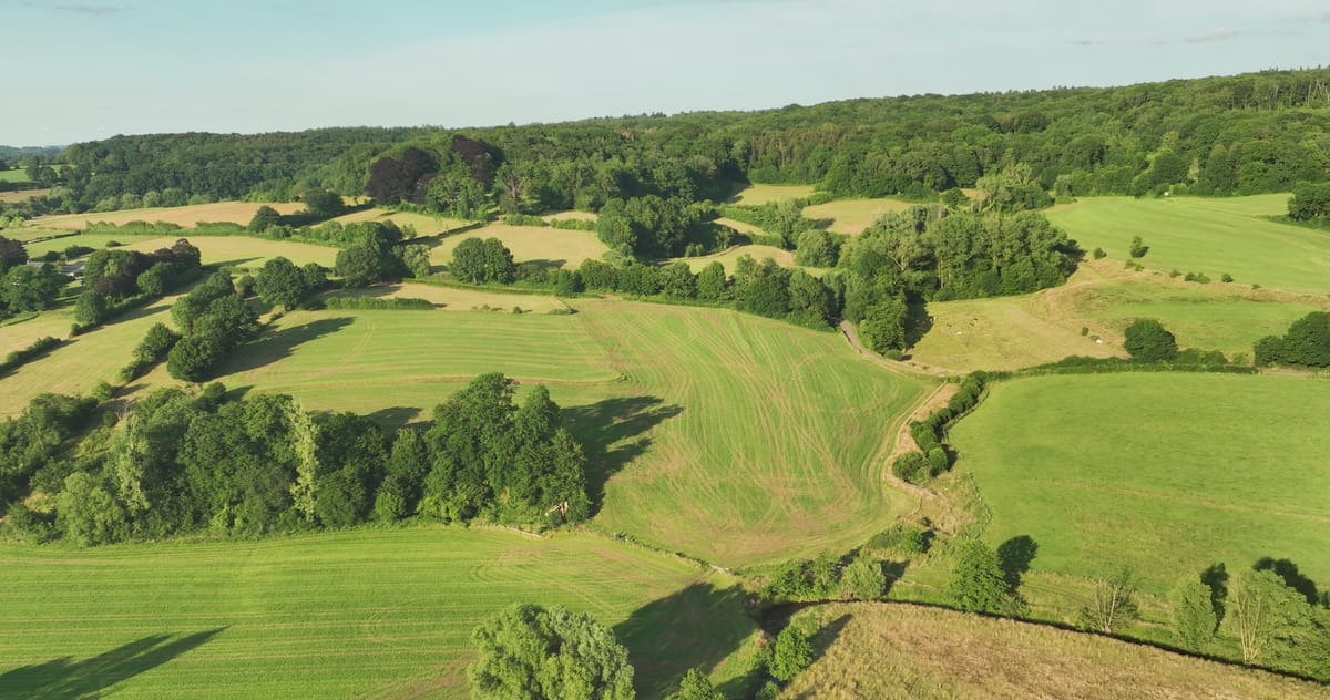
Rolling meadows and woods in the Geul valley near Epen at evening
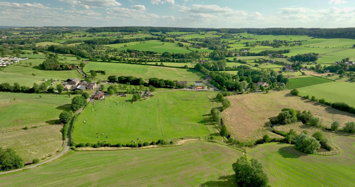
Grazing cows in the hilly countryside near Epen, South Limburg
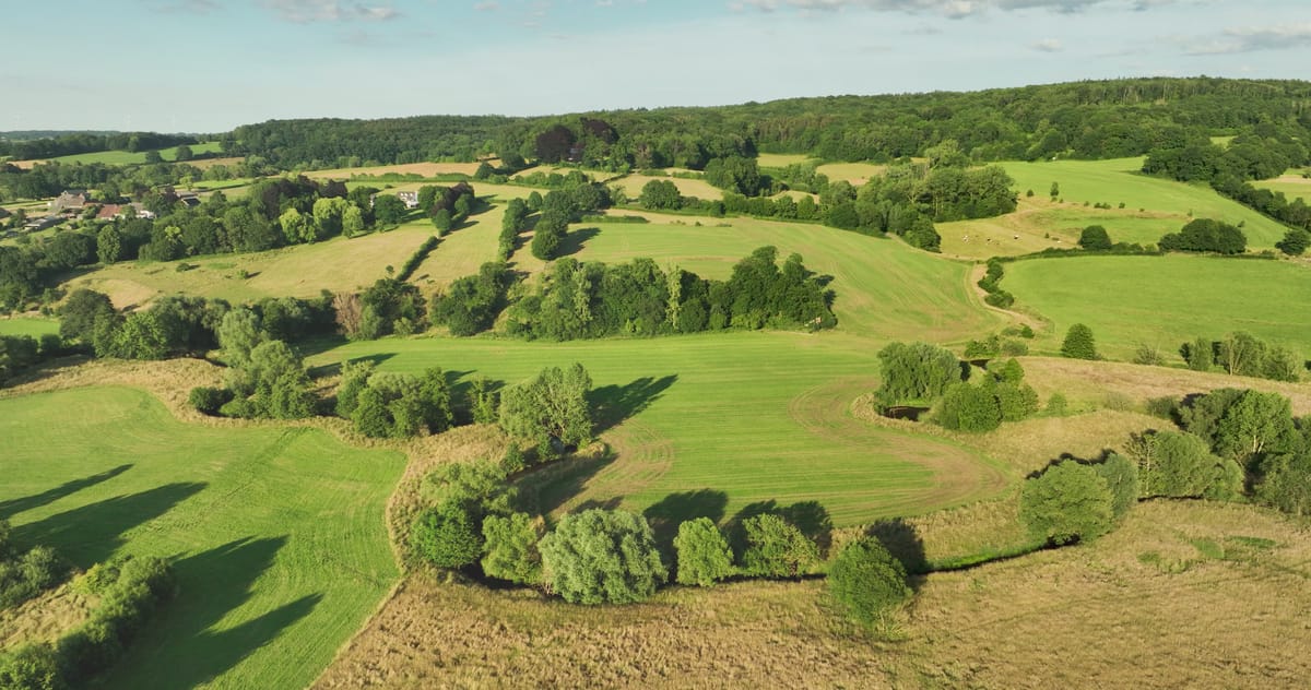
Sideways flight along the meandering Geul in the Geuldal near Epen
About Geuldal
The Geuldal, or Geul valley, follows the small river Geul as it crosses from Belgium into South Limburg and winds past villages such as Epen, Mechelen, Gulpen and Valkenburg on its way to the Meuse. The footage here was shot around Epen, in the upper and hilliest part of the valley close to the Belgian border. From above, the Geul twists in tight meanders through green pasture, its banks lined with trees and scrub. The valley slopes form a patchwork of hay meadows, grassland and the occasional maize field, divided by hedgerows and lines of trees, with broadleaf woodland along the ridges. Herds of grazing cattle add scale and movement to the fields. Most shots show the valley in high summer, lush and green, or in warm evening light that brings out the rolling contours of the hill country. The material includes rising and pull-back shots, sideways tracking along the winding river, and wide views across the valley floor.
Whether you may fly a drone over Geuldal depends on the exact spot and time. Always check the current rules on the official drone map.
Nearby
Themes in Geuldal
Geuldal: need something specific?
Can't find the shot you need? Our certified pilots will film it to order.
Book a custom drone shoot