Hoek van Holland drone footage
97 videos · town in South Holland · page 3 of 3
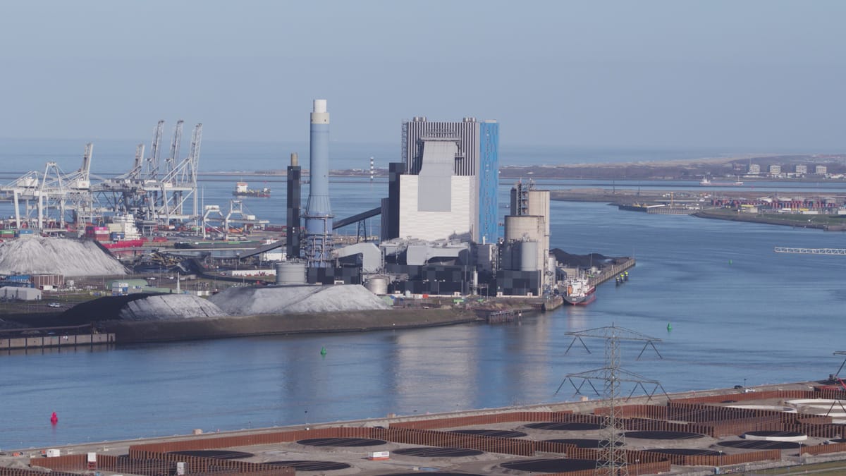
Orbit around a power station in the Port of Rotterdam in clear weather
About Hoek van Holland
Hoek van Holland, known in English as the Hook of Holland, is a seaside district of Rotterdam at the point where the Nieuwe Waterweg ship canal meets the North Sea. It is also the Dutch terminal of the ferry route to Harwich. Seen from above, it combines open coast with heavy port activity. A wide sandy beach backed by dunes draws kitesurfers, horse riders and walkers along the surf line, often filmed here in low golden-hour light. Ocean-going vessels, tankers and barges move through the shipping channel, while the terminals and wind turbines of Maasvlakte and Maasvlakte 2 line the opposite shore. Just inland, the Maeslantkering storm surge barrier rests with its two curved white arms along the canal banks. To the north the town gives way to the Westland greenhouse belt, where glass roofs, water basins and fields form tight geometric patterns. The footage also follows the Port of Rotterdam upstream past cranes, storage tanks, industrial halls and construction sites to the Botlek Bridge, the Nieuwe Maas and the Van Brienenoord Bridge with the Rotterdam skyline beyond.
Whether you may fly a drone over Hoek van Holland depends on the exact spot and time. Always check the current rules on the official drone map.
Nearby
Themes in Hoek van Holland
Hoek van Holland: need something specific?
Can't find the shot you need? Our certified pilots will film it to order.
Book a custom drone shoot