Knooppunt Oudenrijn drone footage
24 videos · location in Utrecht
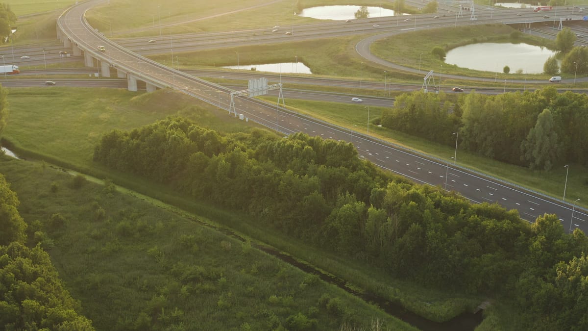
Motorway interchange near Utrecht at golden hour
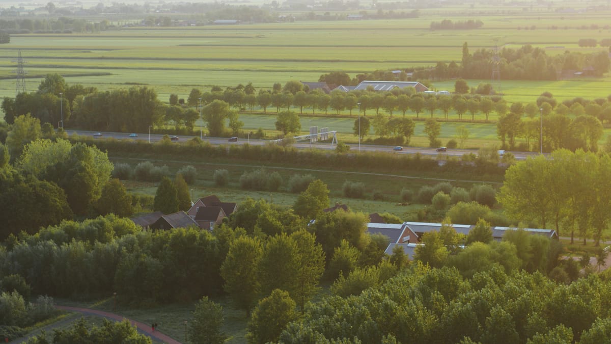
Motorway through green polder landscape in Utrecht at golden hour
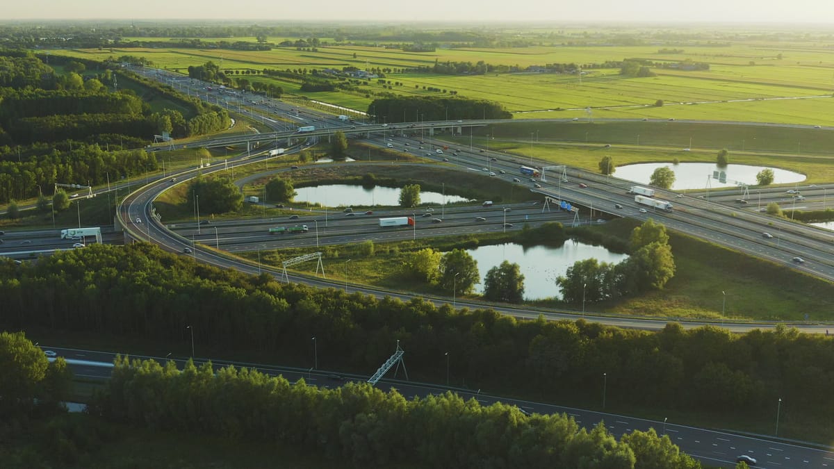
Orbit around a busy motorway interchange near Utrecht at golden hour
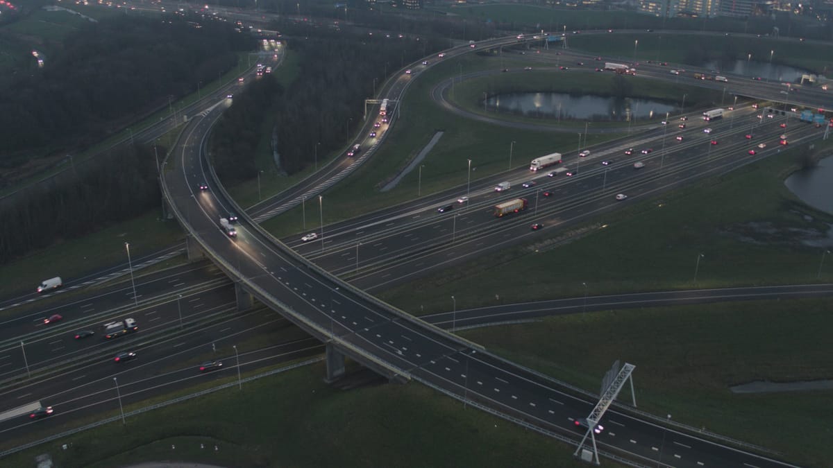
Traffic at the Oudenrijn interchange near Utrecht at dusk
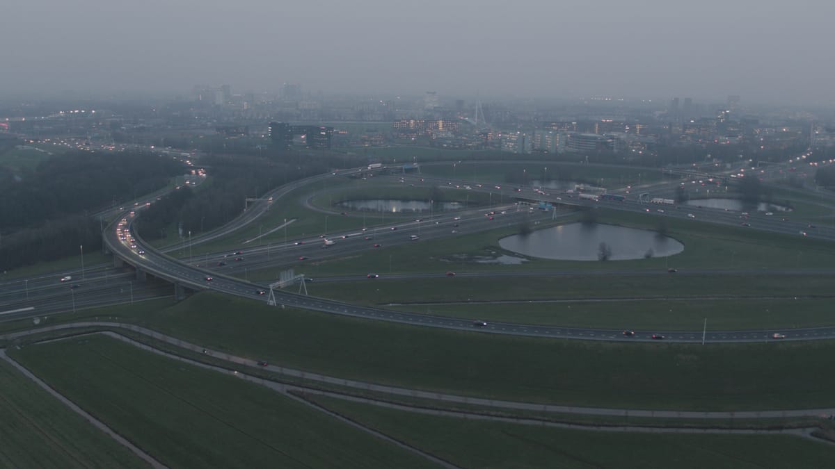
Knooppunt Oudenrijn interchange with the Utrecht skyline in mist
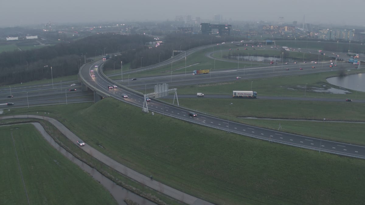
Oudenrijn interchange near Utrecht at dusk in misty weather
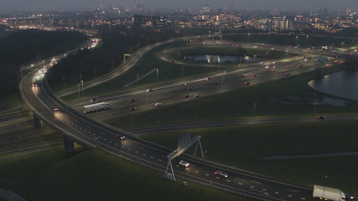
Traffic on the Oudenrijn interchange near Utrecht at blue hour
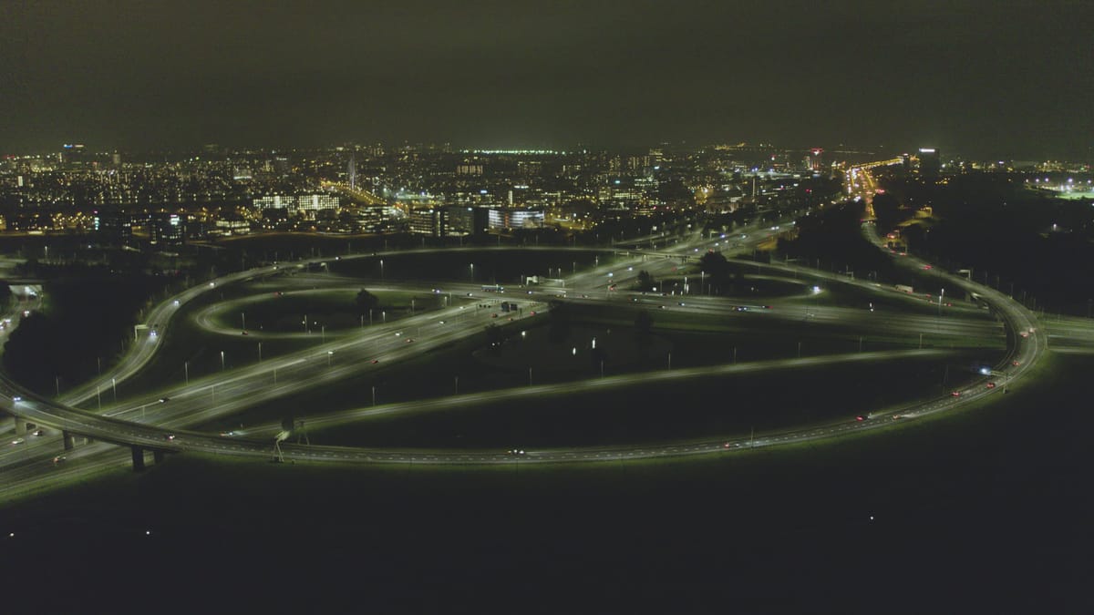
Knooppunt Oudenrijn at night with the lit city of Utrecht
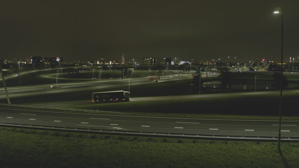
Traffic at a motorway interchange near Utrecht at night
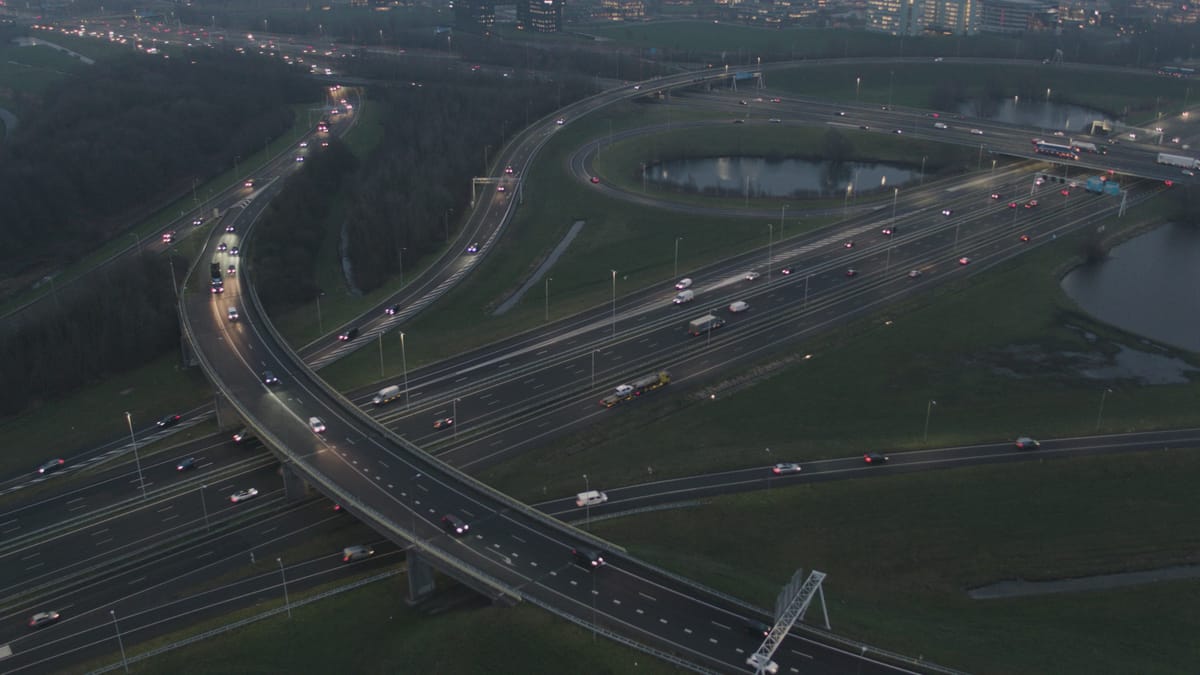
Rush-hour traffic at Knooppunt Oudenrijn near Utrecht at dusk
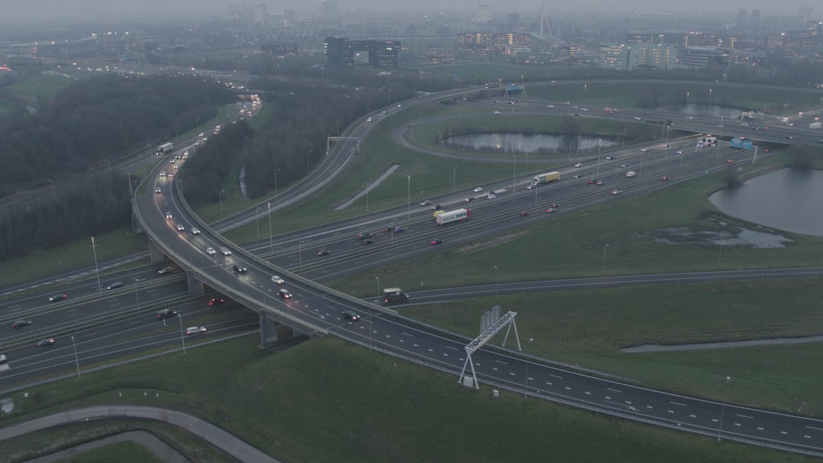
Traffic at the Oudenrijn interchange near Utrecht at dusk in mist
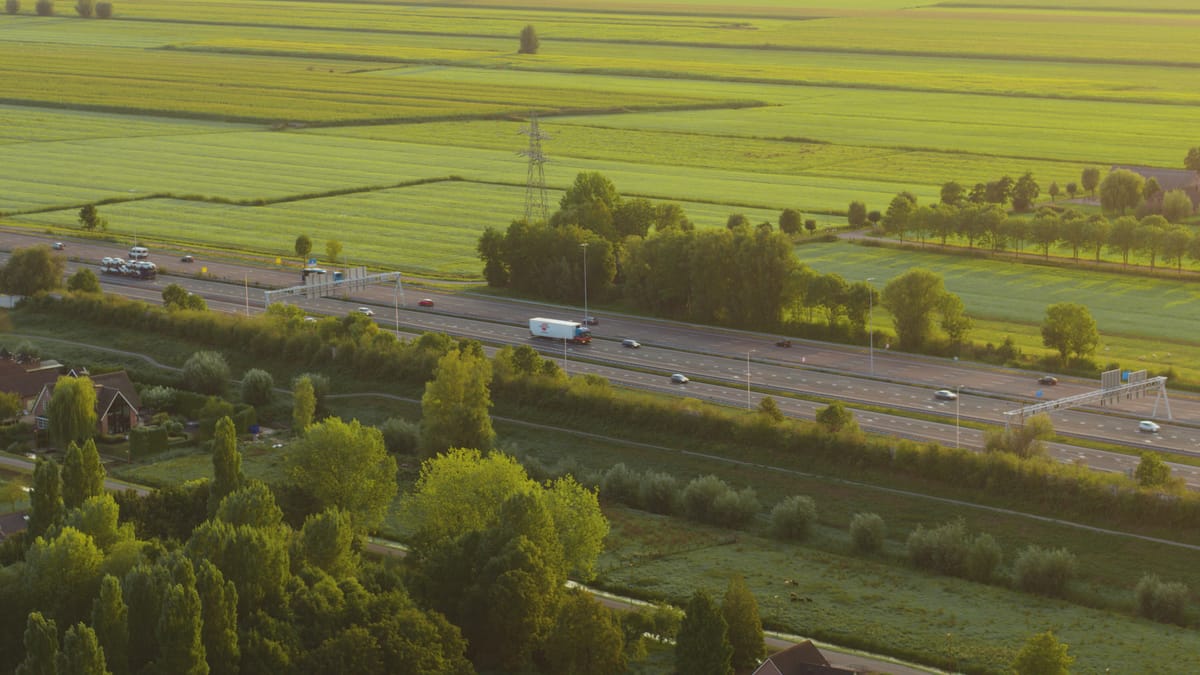
Traffic on a motorway through the polder near Utrecht at golden hour
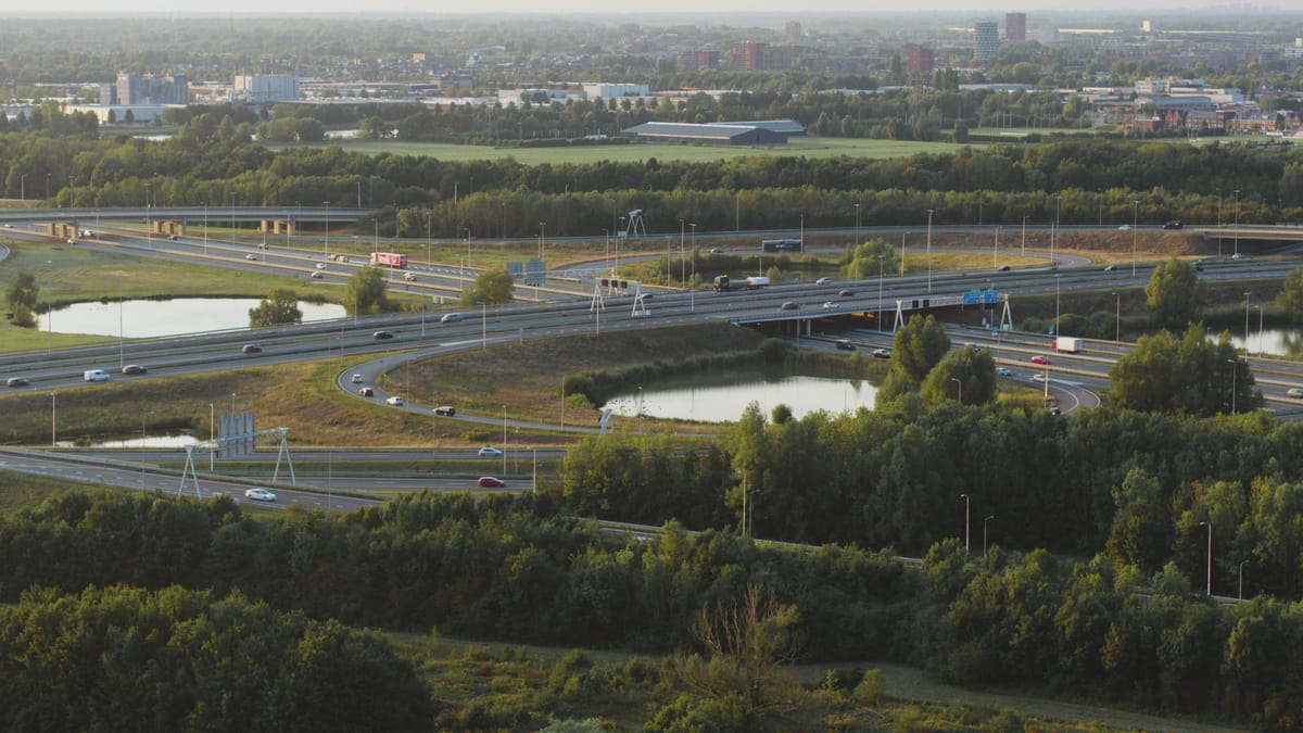
Traffic on a cloverleaf interchange near Utrecht at golden hour
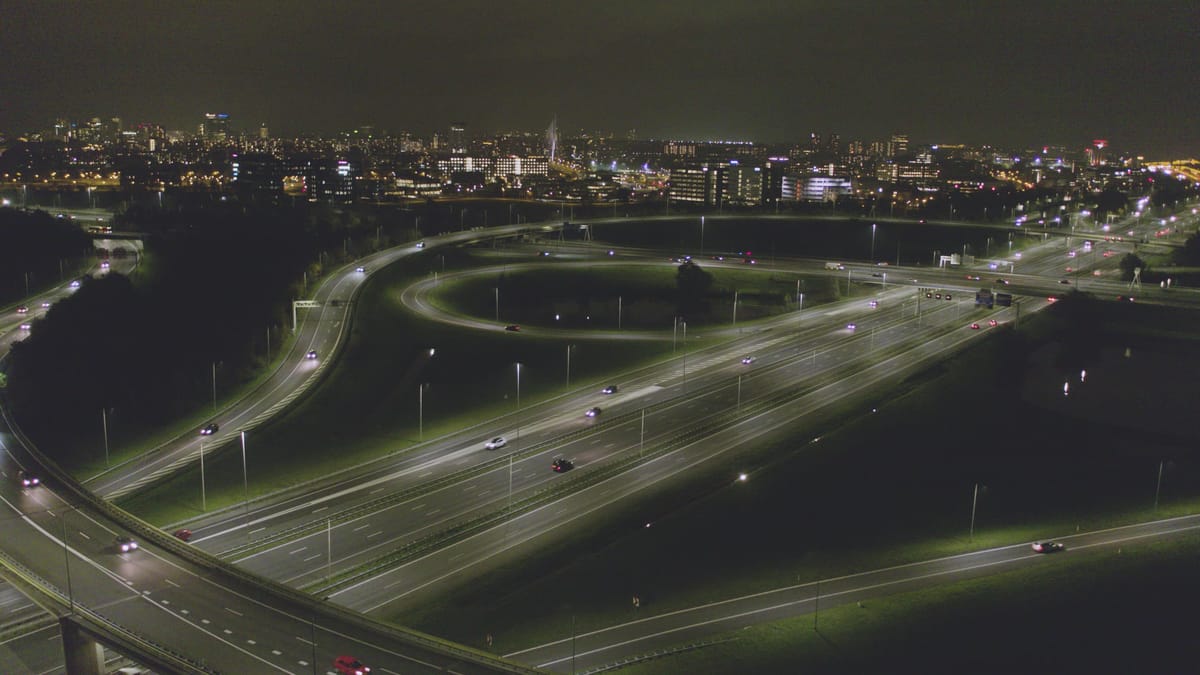
Illuminated Oudenrijn motorway interchange near Utrecht at night
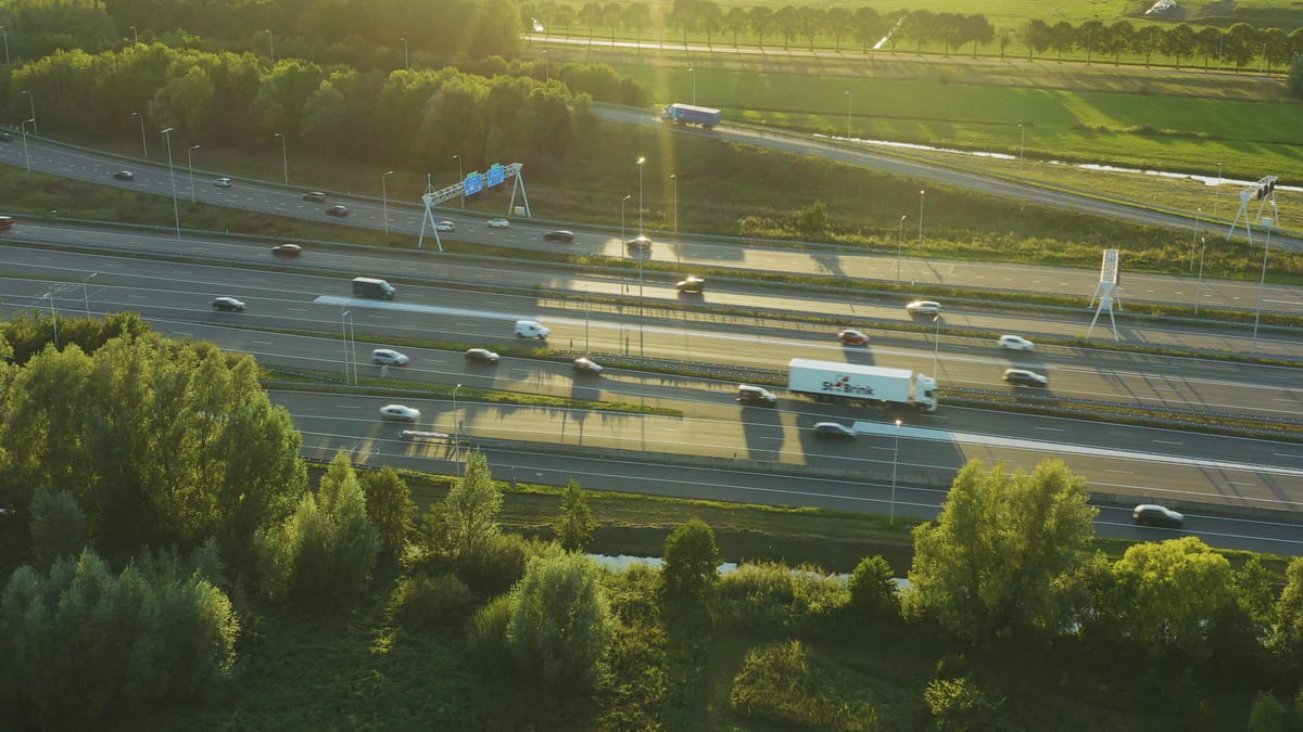
Traffic on a busy motorway near Utrecht during golden hour
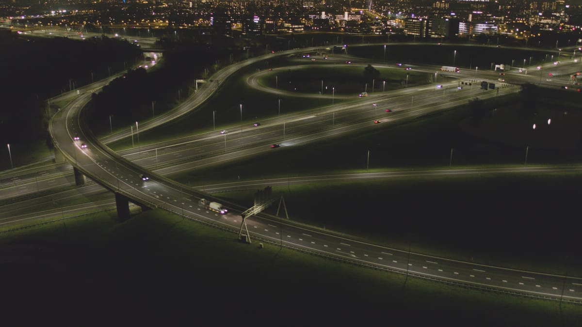
Night flight over a lit motorway interchange near Utrecht
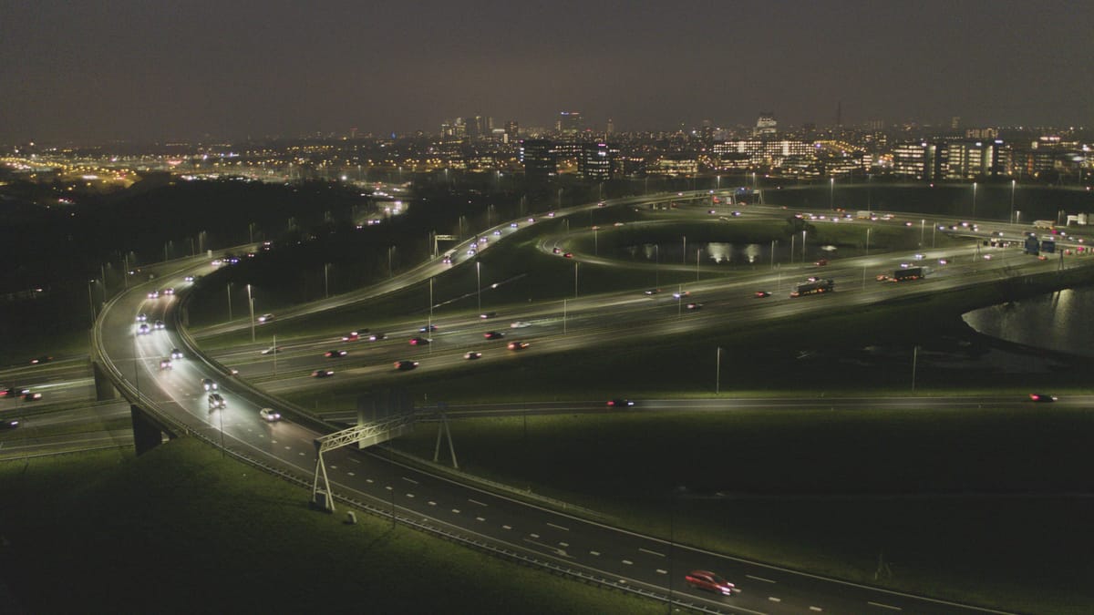
Illuminated motorway interchange near Utrecht at night, busy traffic
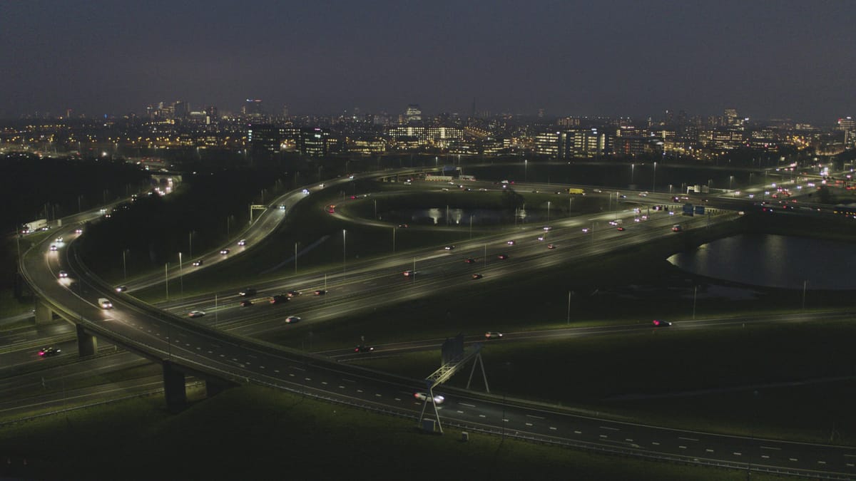
Oudenrijn interchange at night with the Utrecht skyline
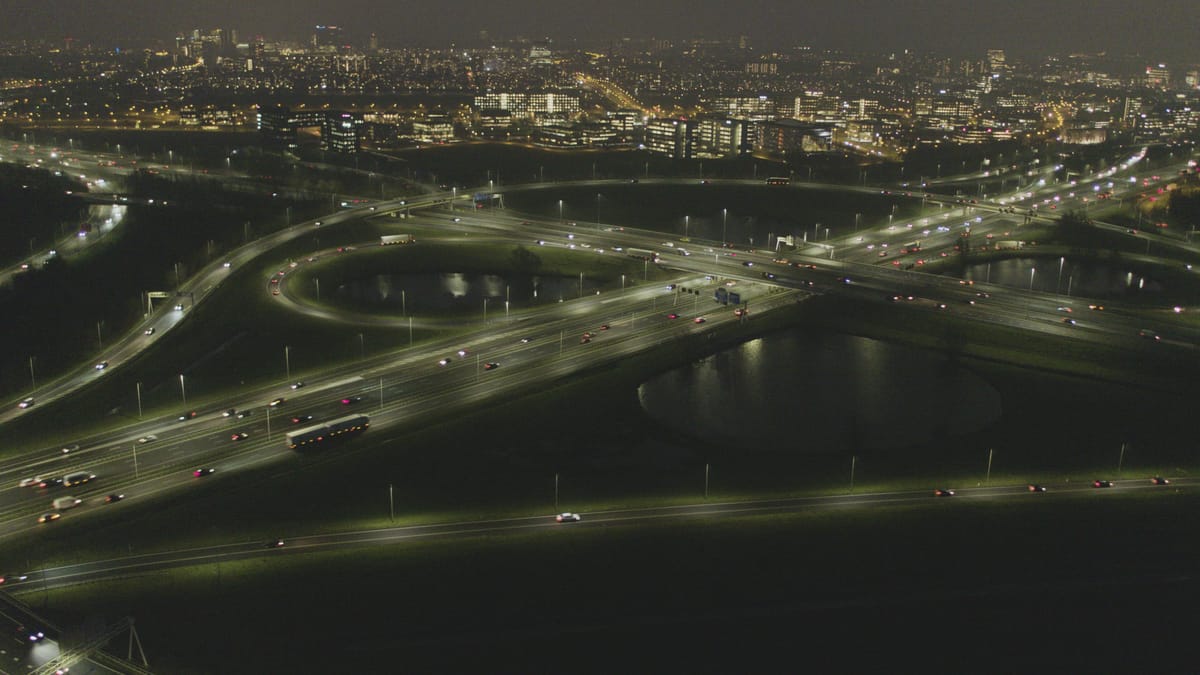
Oudenrijn interchange near Utrecht at night with busy traffic
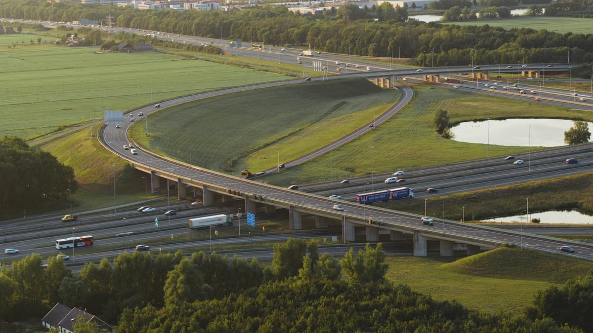
Traffic on a motorway interchange near Utrecht during golden hour
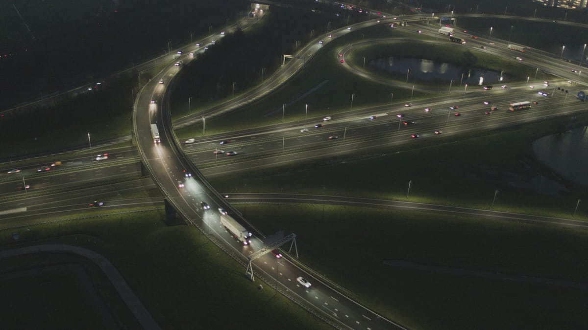
Traffic on a lit motorway interchange near Utrecht at night
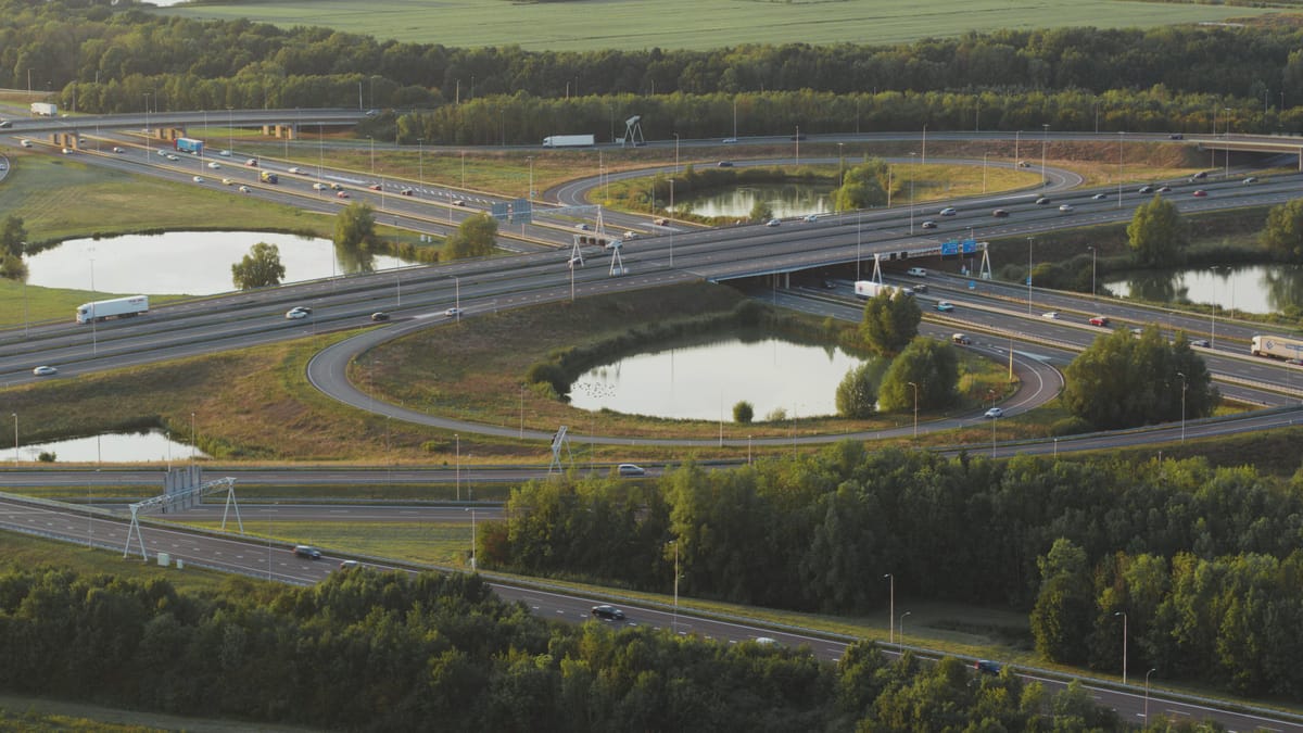
Cloverleaf of Knooppunt Oudenrijn near Utrecht at golden hour
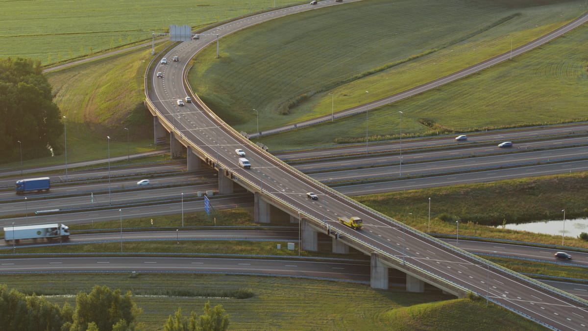
Traffic on a flyover at an interchange near Utrecht at golden hour
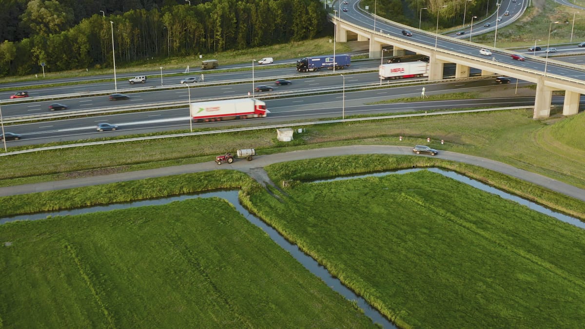
Vintage tractor beside a busy motorway near Utrecht in evening light
About Knooppunt Oudenrijn
The Oudenrijn interchange sits on the south-western edge of Utrecht, where the A2 and A12 motorways meet between Leidsche Rijn, De Meern and Kanaleneiland. It is laid out as a cloverleaf, a shape that reads clearly from the air: four looping ramps, carriageways crossing over and under one another on viaducts, and a steady flow of cars and lorries heading in every direction. Shot straight down, the junction becomes an almost graphic pattern of tarmac, green verges and lane markings. Pockets of polder and pasture with drainage ditches still surround it, setting farmland against heavy infrastructure, occasionally with a tractor working right beside the motorway. Light changes the scene considerably. Golden hour throws long shadows across the loops, dusk and blue hour bring the street lighting on, and at night headlights and tail lights draw streaks across the illuminated interchange. On clear evenings the Utrecht skyline rises in the background, which makes the location useful for stories about rush hour, commuting, logistics and the relationship between the city and its road network.
Whether you may fly a drone over Knooppunt Oudenrijn depends on the exact spot and time. Always check the current rules on the official drone map.
Nearby
Themes in Knooppunt Oudenrijn
Knooppunt Oudenrijn: need something specific?
Can't find the shot you need? Our certified pilots will film it to order.
Book a custom drone shoot