Naardermeer drone footage
10 videos · location in North Holland
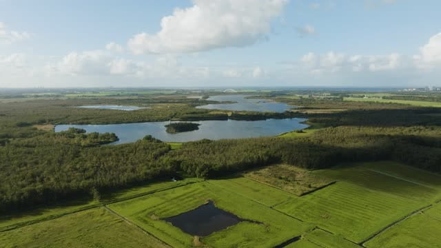
Flight over meadows towards the lakes of the Naardermeer
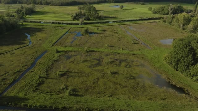
Reveal from wet meadows to the lakes of the Naardermeer
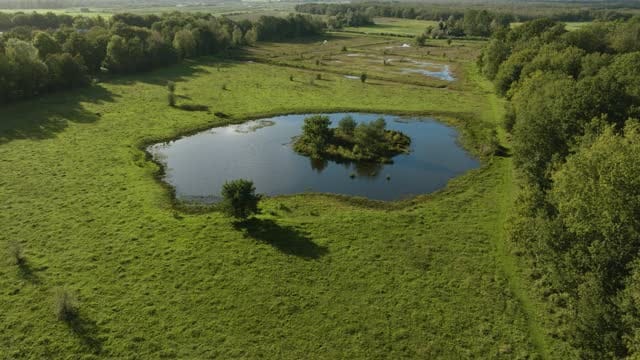
Flight towards a pond with a small island in the Naardermeer
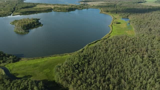
Pull-back over a lake and woodland in the Naardermeer
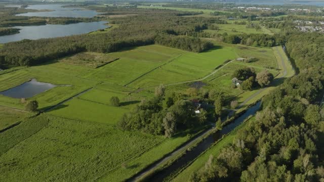
Meadows and canal on the edge of the Naardermeer near Naarden
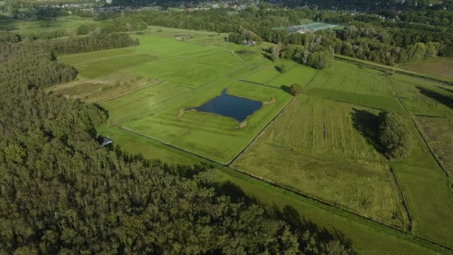
Meadows with a pond between woodland and housing by the Naardermeer
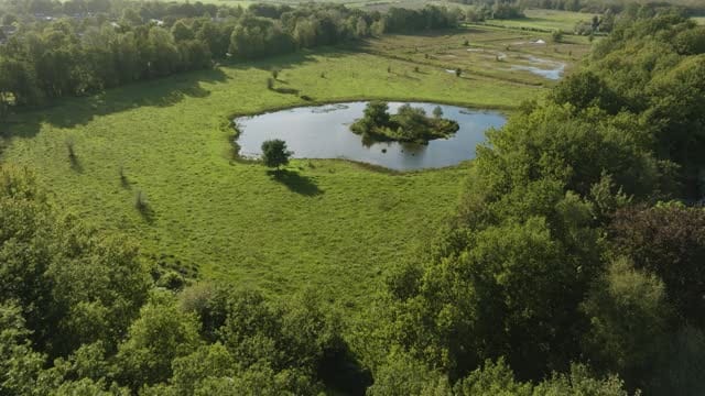
Flyover from woodland to a pond with an islet in the Naardermeer
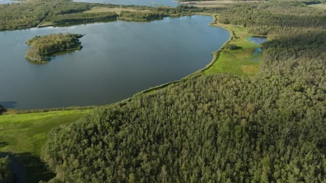
Rising view over a lake with an islet and woodland in the Naardermeer
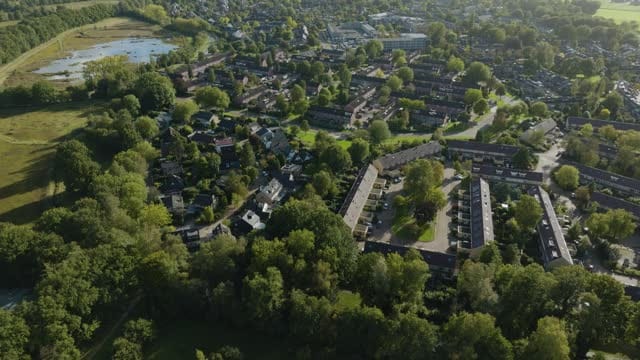
Leafy residential area on the edge of a nature reserve near Naarden
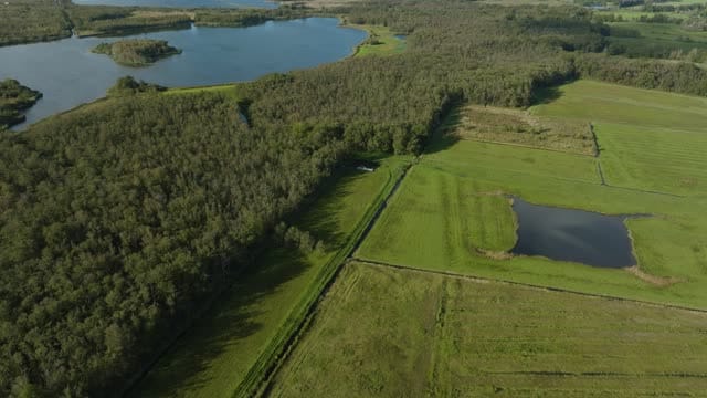
Meadows with a pond beside woodland and a lake in the Naardermeer
About Naardermeer
The Naardermeer is a wetland nature reserve in North Holland, lying just west of the fortified town of Naarden on the edge of the Gooi area. Known as the first reserve acquired by the Dutch conservation society Natuurmonumenten, it combines open lakes, reed beds, wet woodland and damp grassland, kept wet by groundwater seeping in from the higher sandy ground of the Gooi. From above, the reserve reads as a patchwork of dark water with small islets, fringed by reeds and woodland edges. Around its margins lie meadows crossed by ditches, a canal and scattered ponds, while near Naarden a leafy residential area borders the reserve, offering a clear contrast between built-up land and wilderness. The footage includes flyovers from woodland to water, rising and pull-back shots over the lakes, and reveals from wet meadows towards the open mere. Through the year the colours shift from fresh green reeds in spring and summer to golden and brown tones in autumn and winter.
Whether you may fly a drone over Naardermeer depends on the exact spot and time. Always check the current rules on the official drone map.
Nearby
Themes in Naardermeer
Naardermeer: need something specific?
Can't find the shot you need? Our certified pilots will film it to order.
Book a custom drone shoot