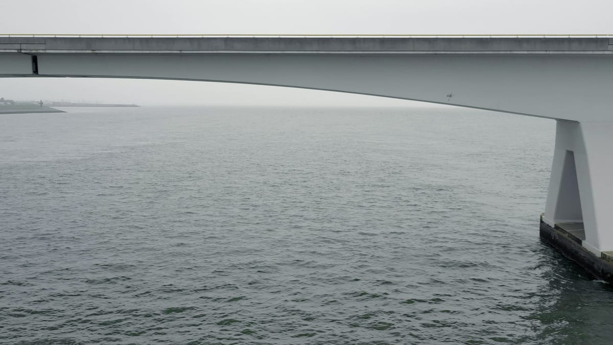
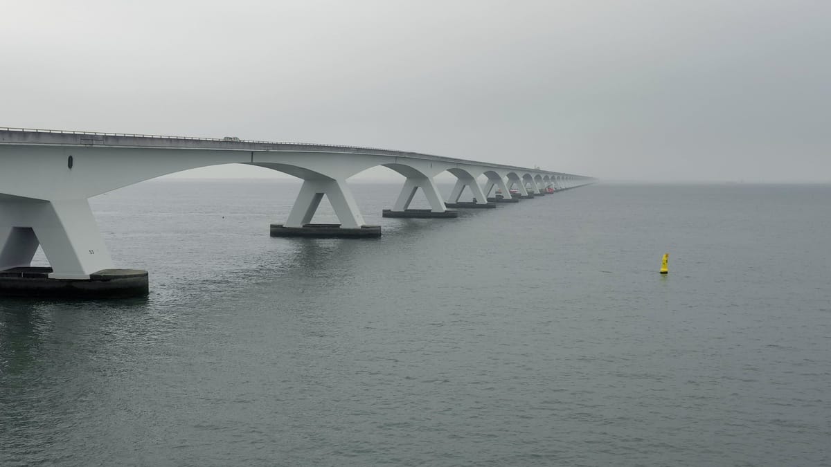
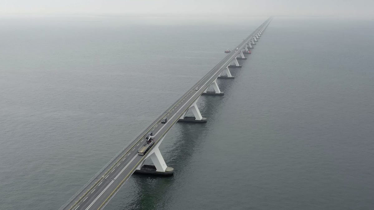
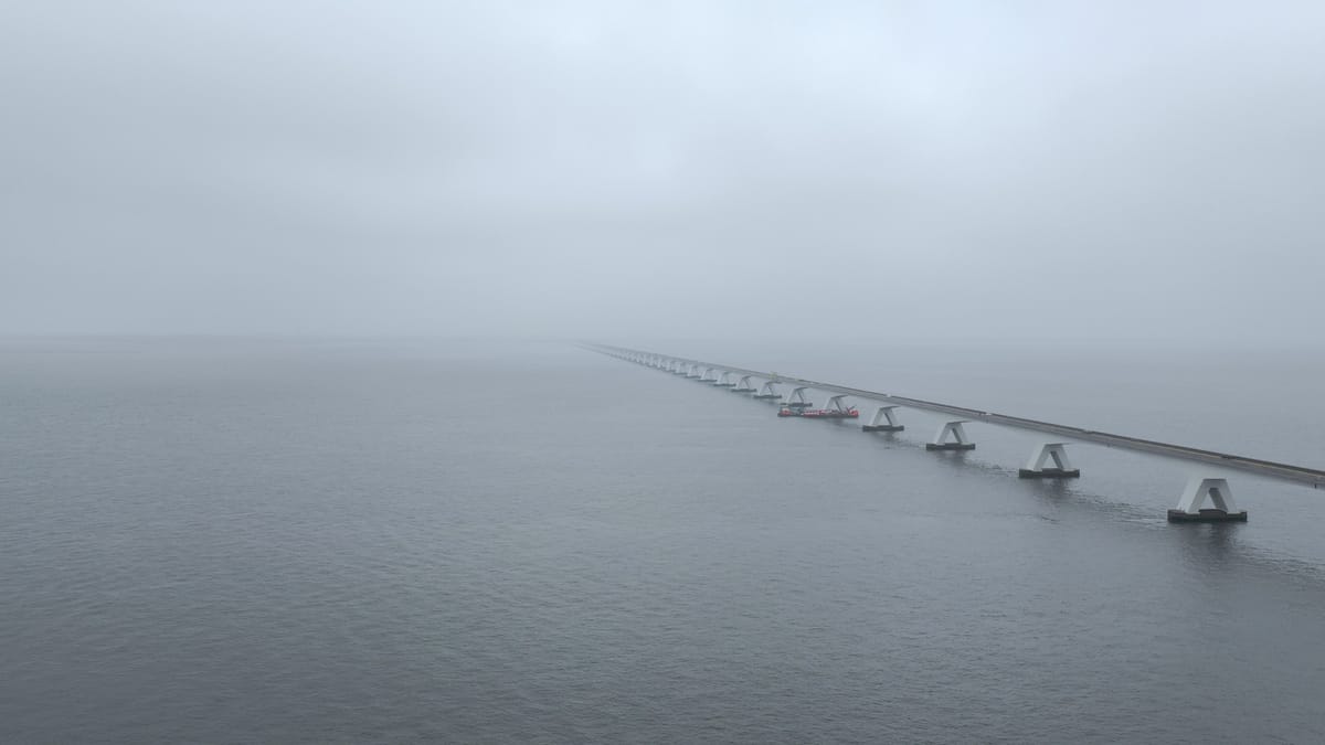
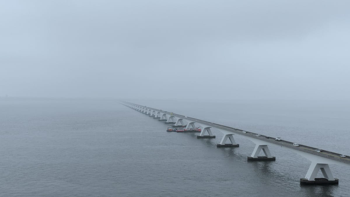
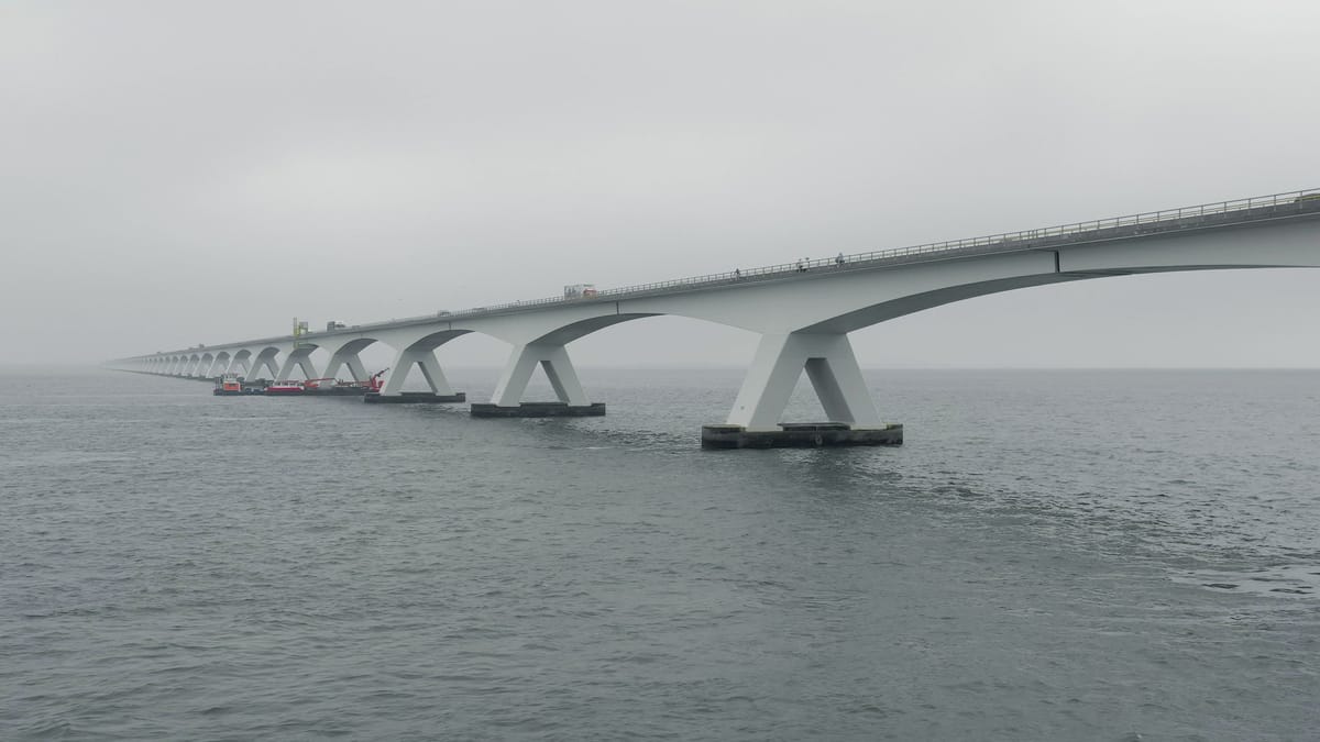
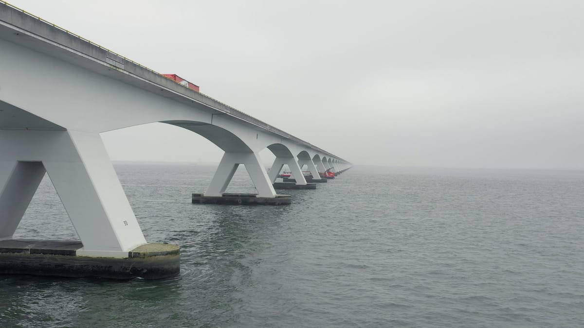
Aerial View of the Zeelandbrug Bridge the Longest Bridge in the Netherlands
transportation
Description
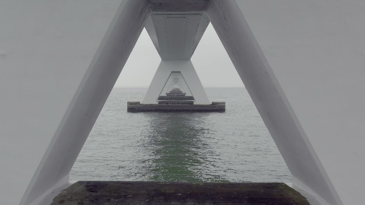
Aerial view of the Zeeland Bridge. It is the longest bridge in the Netherlands. The bridge crosses the Oosterschelde estuary. It joins the islands of Schouwen-Duiveland and Noord-Beveland in Zeeland. The Zeeland Bridge took two years to build between 1963 and 1965.
A large production or several projects? Get in touch for a tailored quote.
Related keywords
Aerial
Europe
Holland
Netherlands
Zeeland
arch
architecture
background
bridge
bridge pillar
bridging
brug
coast
concrete
concrete bridge
connecting
connection
dutch
foggy bridge
holland bridges
iconic
landscape
long
long bridge
longest
longest bridge
netherlands bridges
noord-beveland
ocean bridge
oosterschelde
oosterschelde estuary
pillar
province
road
schouwen-duiveland
sea
sea bridge
sea fog
traffic
transportation
travel
water
zeelandbrug
zeelandbrug bridge
zierikzee