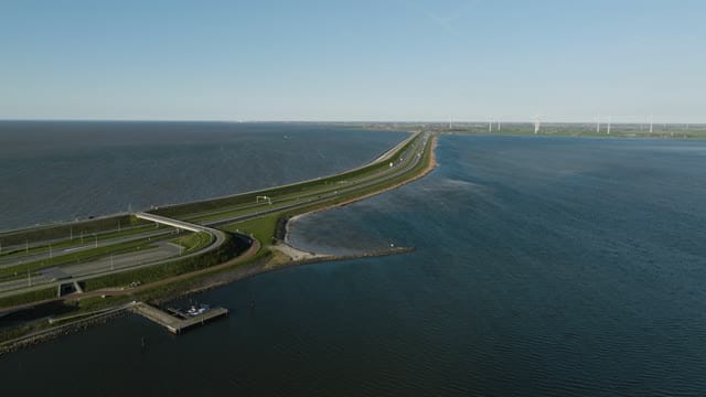
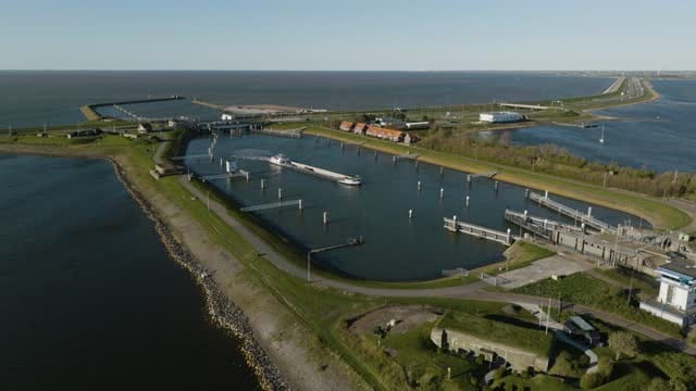
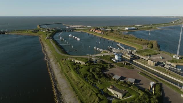
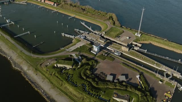
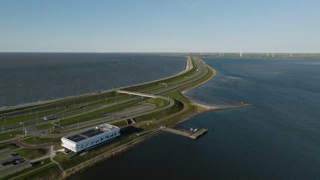
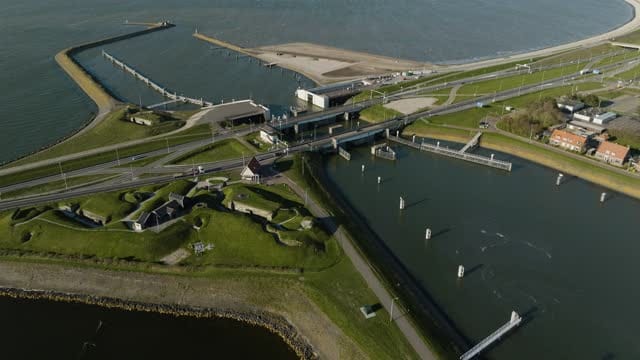
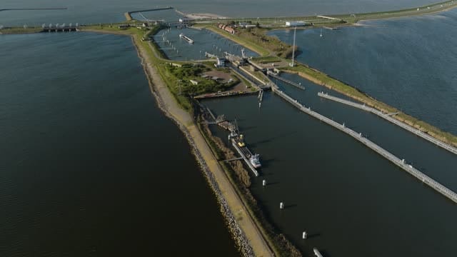
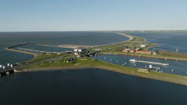
Expansive View of Kornwerderzand's Coastal Infrastructure and Waterway
Description
This stunning aerial image captures the unique coastal infrastructure at Kornwerderzand, Netherlands. The scene showcases the intersection of man-made structures and natural beauty, with a prominent highway stretching across the water and a series of houses along the shoreline. The expansive view of the waterway and open sea under a clear sky highlights the area's strategic maritime significance and its role in Dutch water management. Ideal for use in travel promotions, environmental documentaries, and urban planning presentations.
LOG
LOG file available with Unlimited
A large production or several projects? Get in touch for a tailored quote.
Related keywords
Dutch water management
Kornwerderzand
Netherlands
clear sky
coastal engineering
coastal infrastructure
environmental documentary
highway
maritime
sea view
shoreline
transportation network
travel promotions
urban planning
waterway