Lunenburgerwaard drone footage
9 videos · location in Utrecht
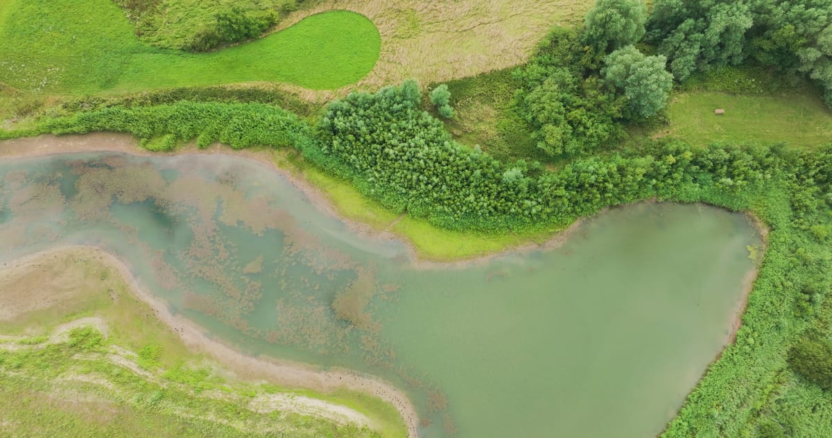
Top-down view of a side channel in the Lunenburgerwaard floodplain
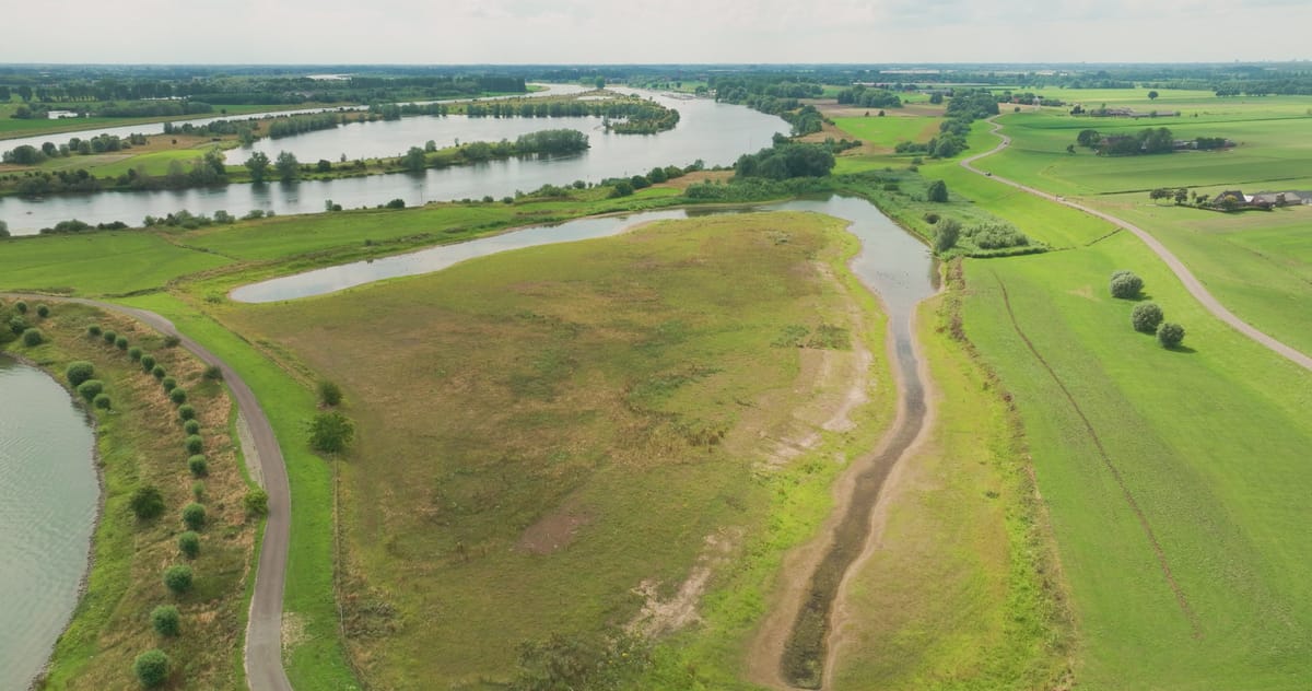
Floodplains and side channels along the river near Wijk bij Duurstede
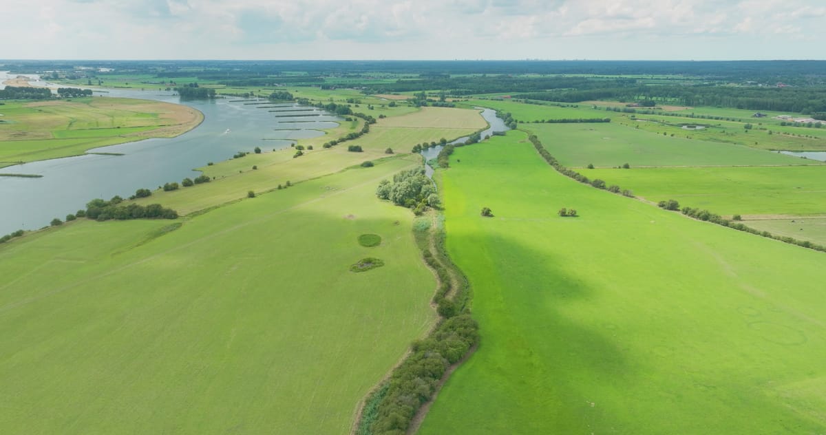
River and green floodplains with side channel near Wijk bij Duurstede
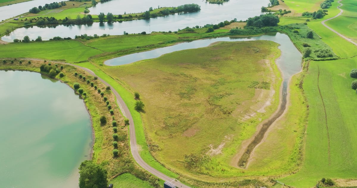
Floodplains with channels and ponds near Wijk bij Duurstede
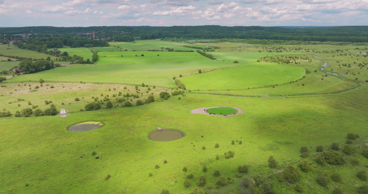
Cattle at a pond in the river floodplains in Utrecht province
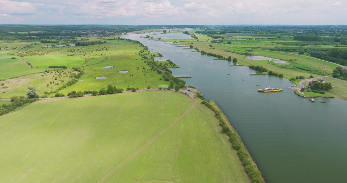
Car ferry crossing the Nederrijn near Wijk bij Duurstede in summer
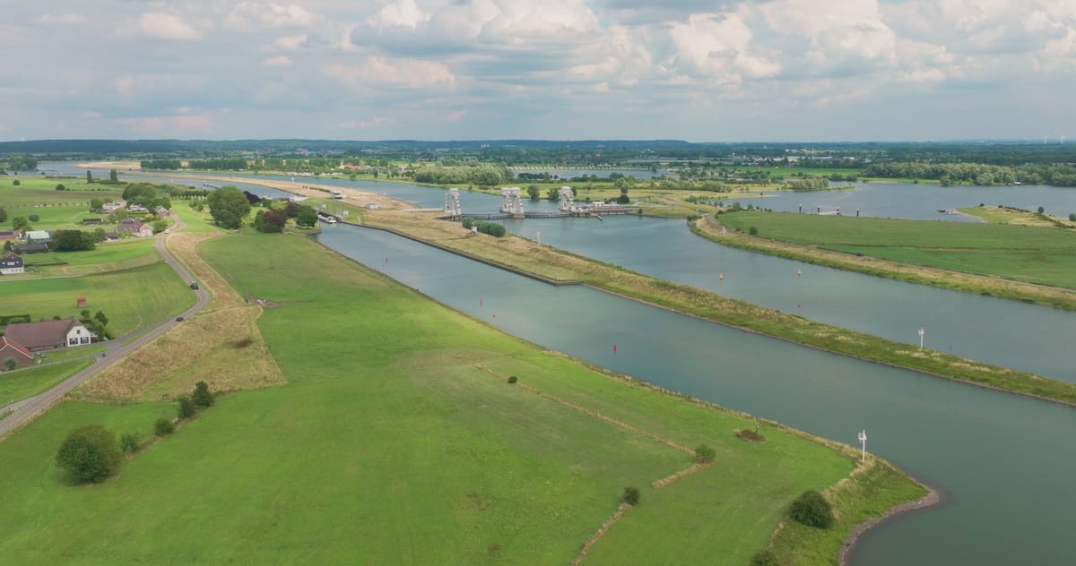
Flyover towards the weir and lock complex on the Nederrijn river
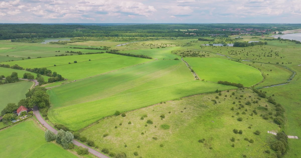
Meadows and floodplains along the Nederrijn near Wijk bij Duurstede
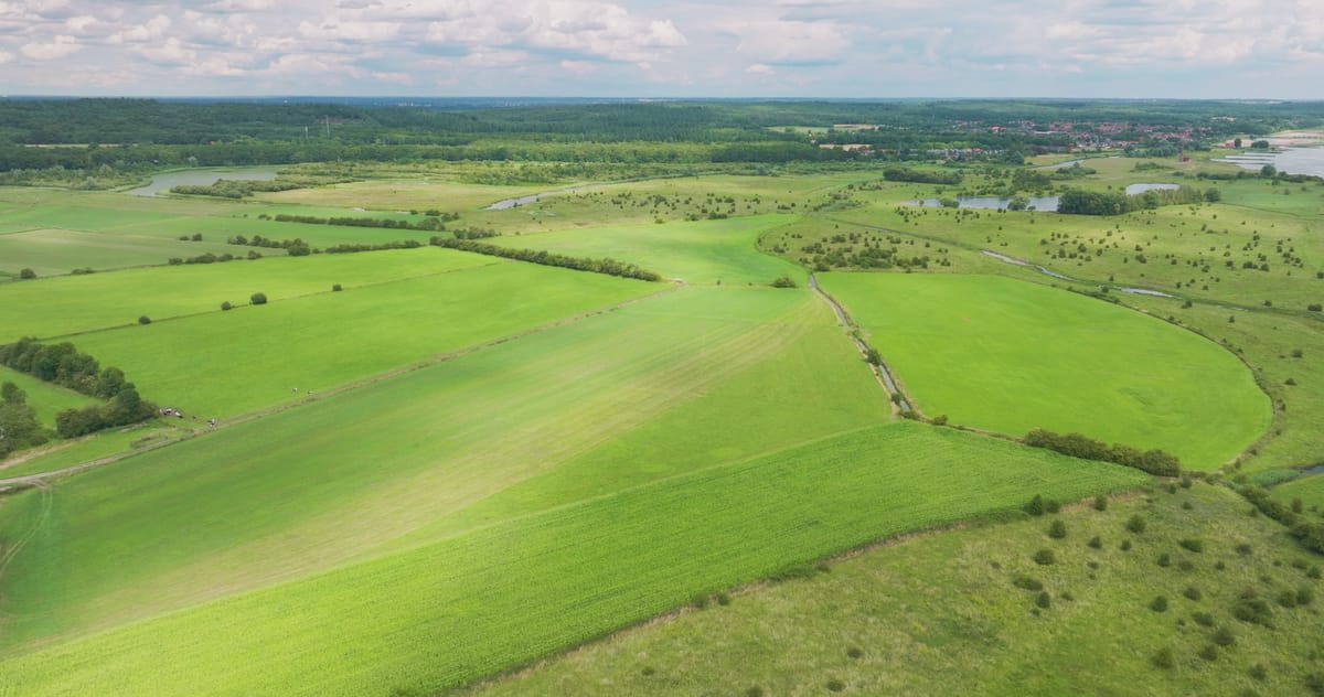
Green floodplains and meadows along the river near Wijk bij Duurstede
About Lunenburgerwaard
The Lunenburgerwaard is a floodplain on the Lower Rhine (Nederrijn) near Wijk bij Duurstede in the province of Utrecht. Between the river and the dike lies open land made up of meadows, side channels, ponds and small lakes, an area that gives the river room to spread out when water levels rise. From above, the winding channels and pools cut clear shapes into the grassland, and top-down shots turn the side channels into almost abstract patterns of water and green.
The footage shows the broad river flanked by lush floodplains, cattle gathered at a pond, and the transition from nature reserve to farmland beyond the dike. One flyover heads towards a weir and lock complex on the river, while a summer clip captures a car ferry crossing the Nederrijn at Wijk bij Duurstede. The location suits stories about Dutch river landscapes, flood management, nature restoration and shipping on inland waterways.
Whether you may fly a drone over Lunenburgerwaard depends on the exact spot and time. Always check the current rules on the official drone map.
Nearby
Themes in Lunenburgerwaard
Lunenburgerwaard: need something specific?
Can't find the shot you need? Our certified pilots will film it to order.
Book a custom drone shoot