Amerongse Berg drone footage
26 videos · location in Utrecht
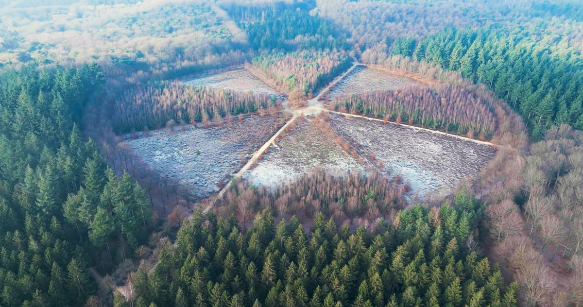
Star-shaped forest with eight paths on the frosty Amerongse Berg
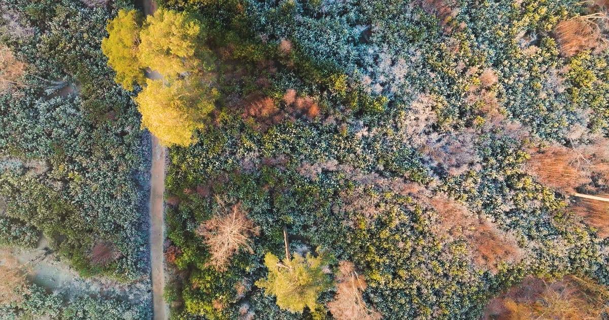
Top-down over frosted forest and a trail near Amerongen in winter
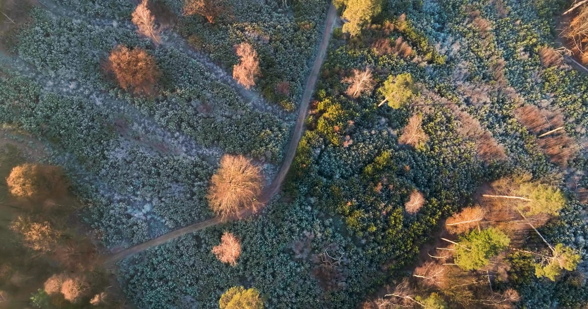
Top-down over a frosty forest path on the Amerongse Berg
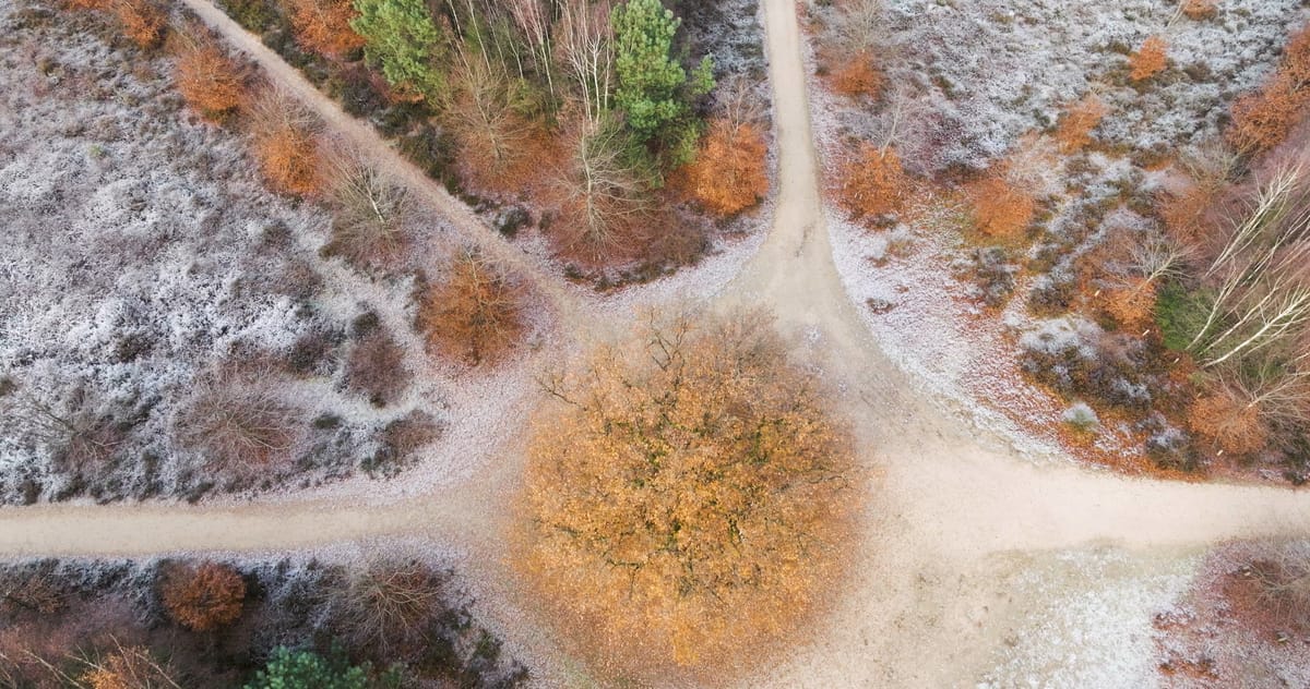
Oak at a crossing of paths on frosty heathland near Amerongen
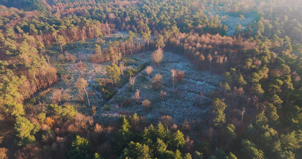
Frosted forest clearing near Amerongen in low winter sunlight
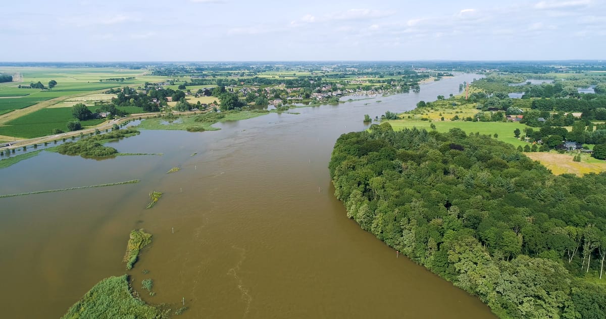
High water on the river near Amerongen with flooded floodplains
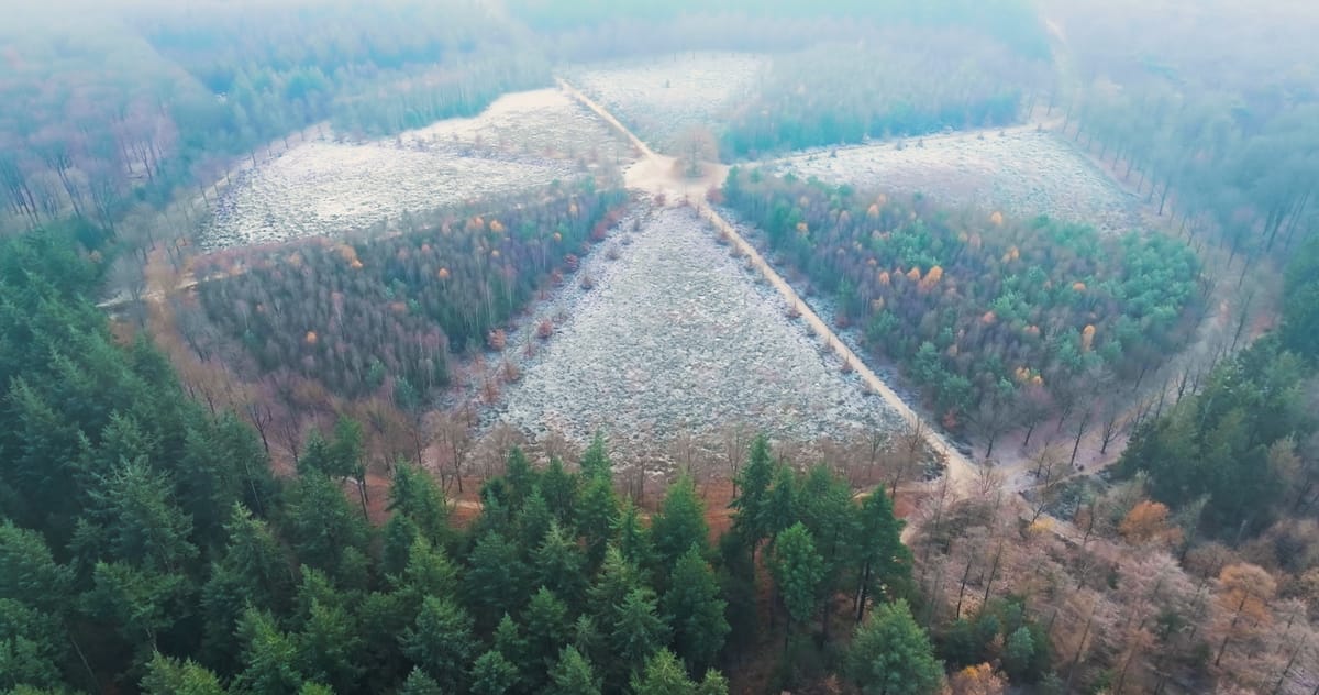
Star-shaped paths around a lone oak on the frosty Amerongse Berg
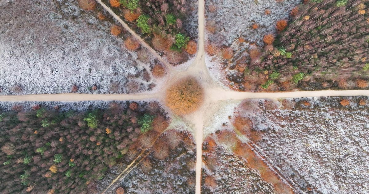
Top-down over a lone oak at a junction of paths near Amerongen
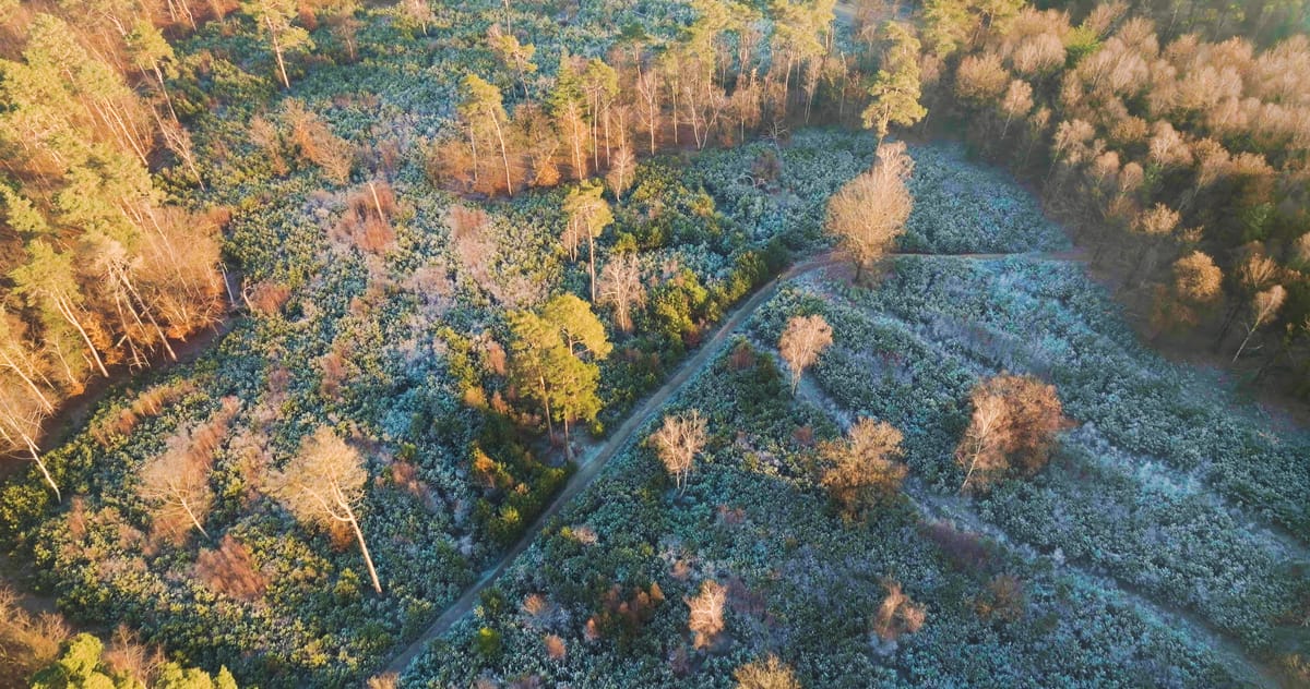
Frosted forest clearing near Amerongen at golden hour
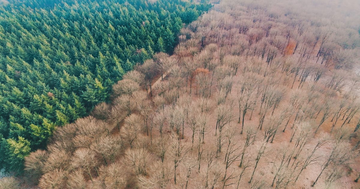
Conifers beside bare deciduous trees near Amerongen
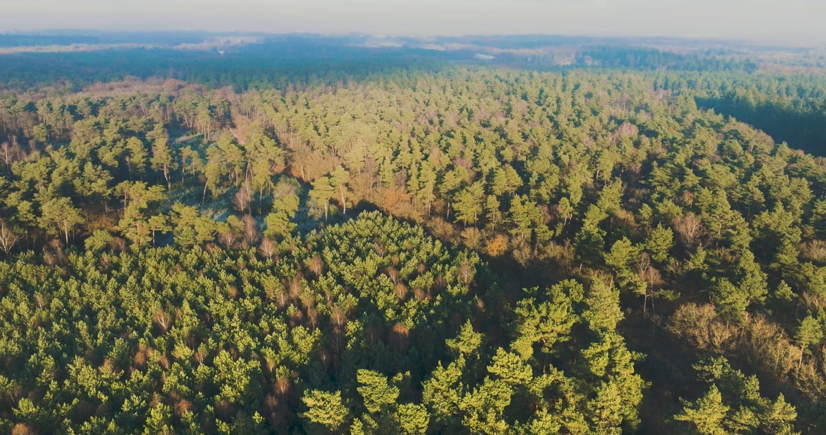
Mixed forest near Amerongen in low winter sunlight
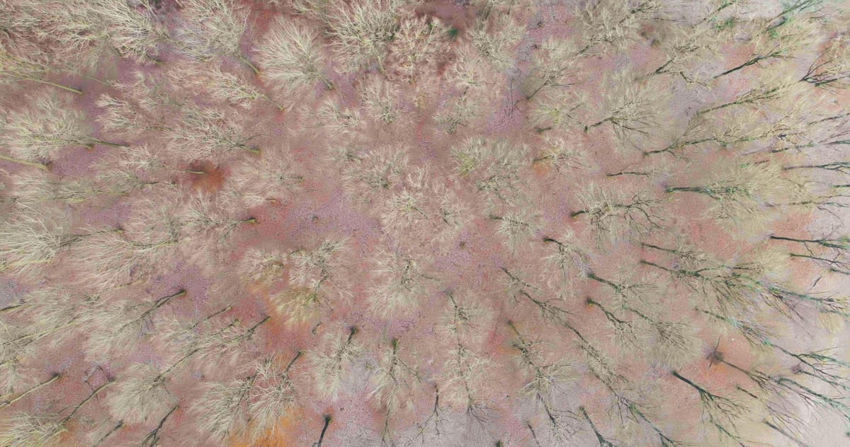
Top-down view of bare forest and autumn leaves on the Amerongse Berg
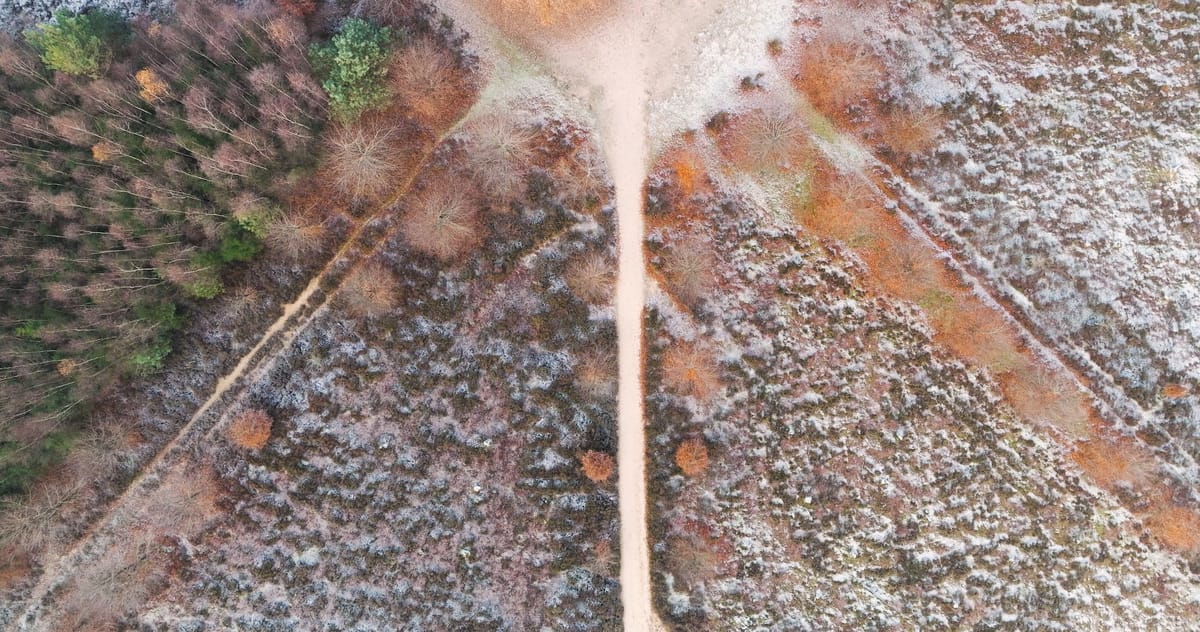
Top-down over an oak at a junction of paths near Amerongen in frost
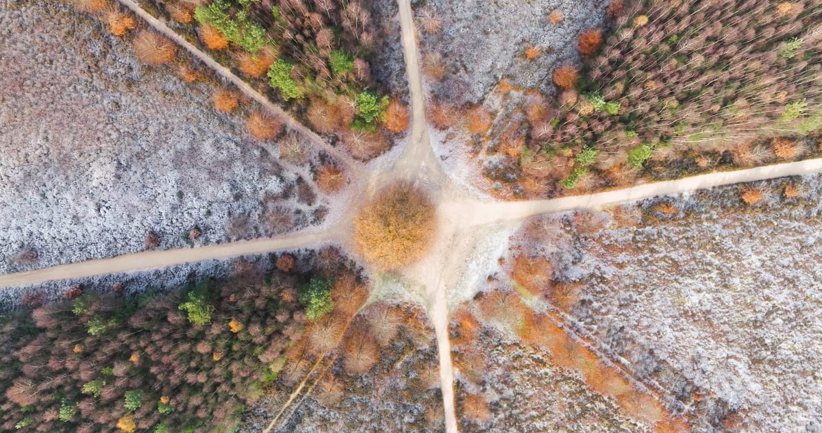
Top-down over a lone tree at a star-shaped path junction, Amerongen
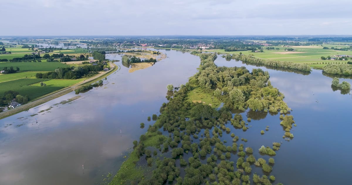
High water flooding river floodplains in summer
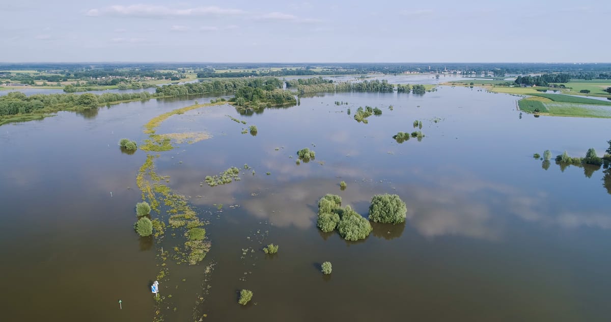
Flooded floodplains with shrubs in the water at summer high water
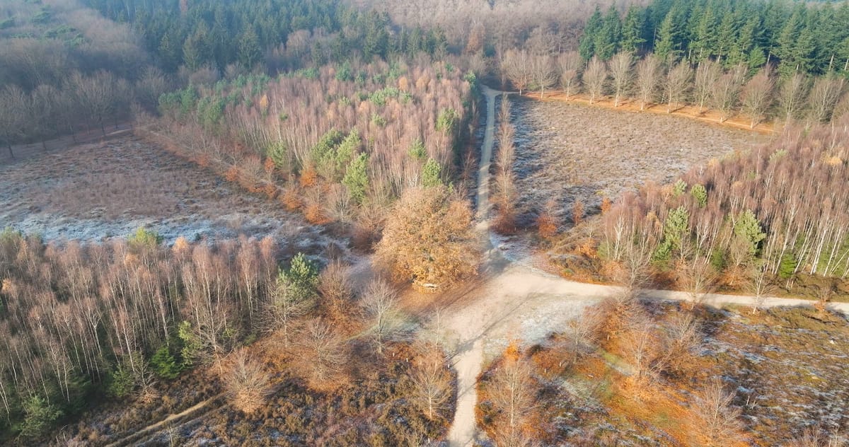
Oak at a junction of sandy paths on frosted heath near Amerongen
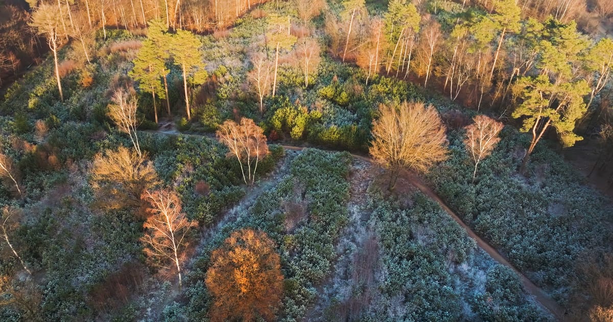
Frosty forest with a woodland path near Amerongen at golden hour
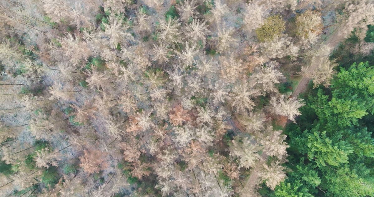
Top-down view of mixed forest in autumn near Amerongen

Crossing sandy paths over frosted heathland near Amerongen
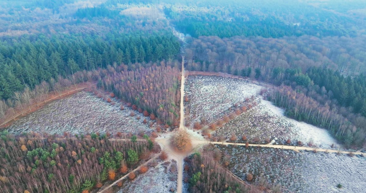
Flyover of a lone oak at a crossing of forest paths near Amerongen
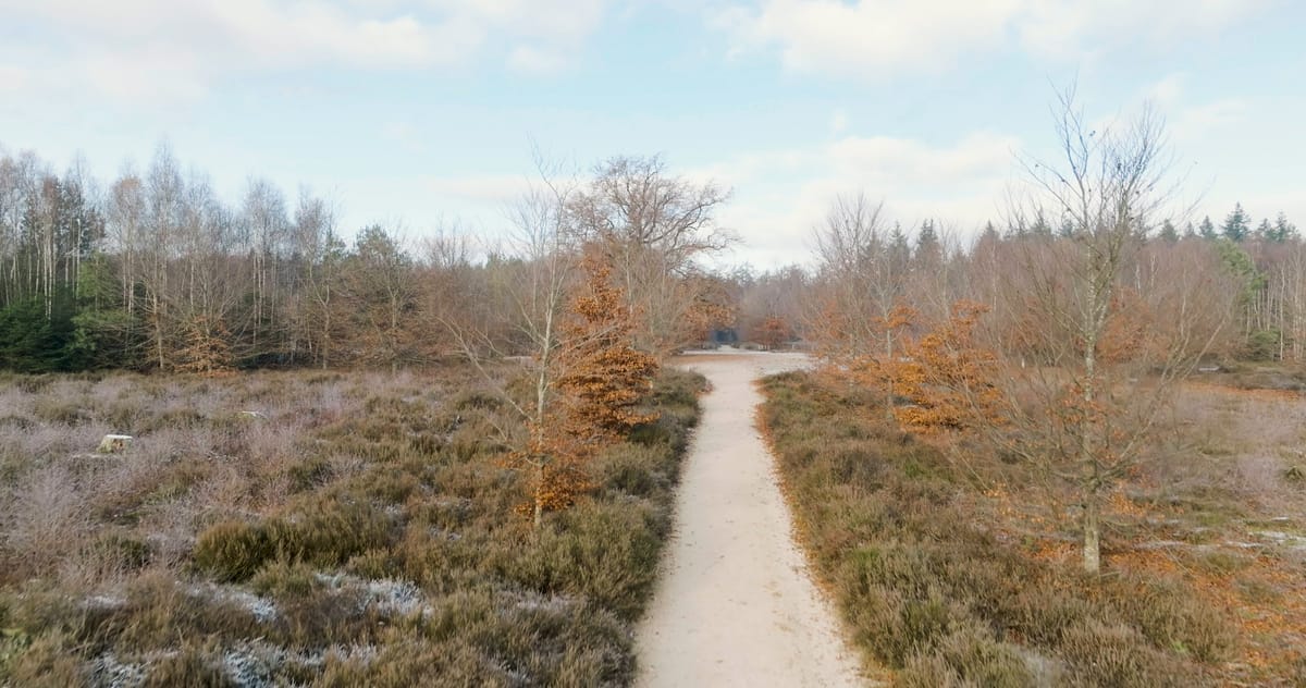
Rising over frosted heath and forest near Amerongen
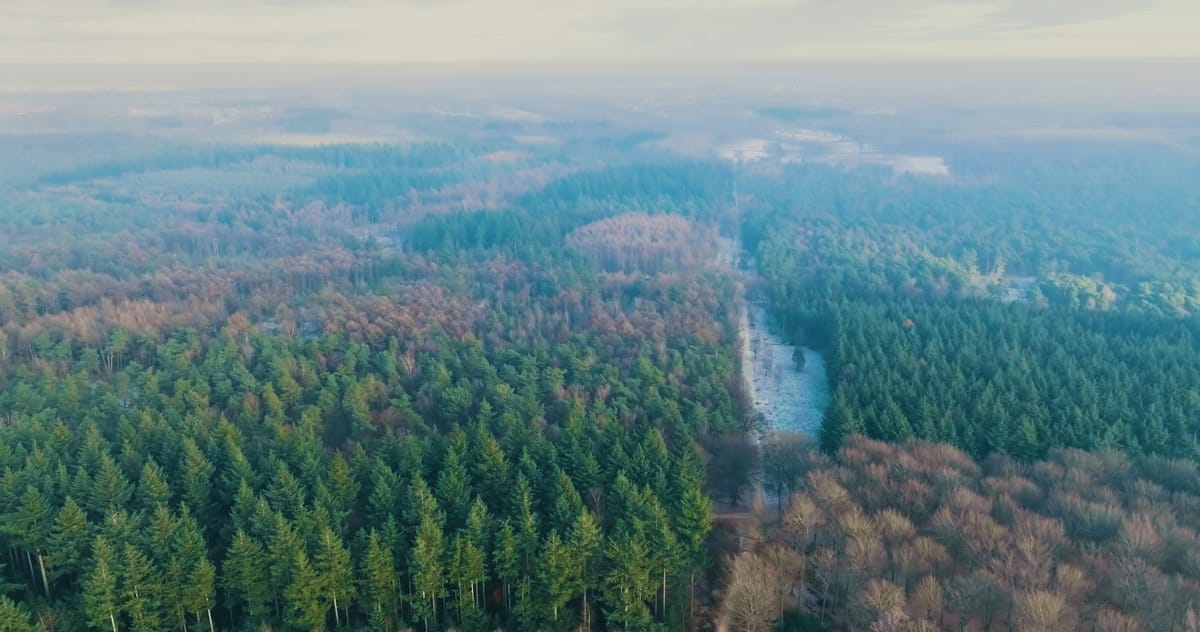
Mixed forest near Amerongen on a frosty, hazy morning
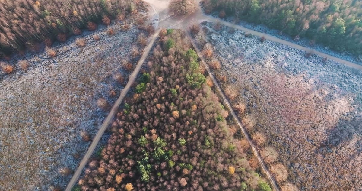
Star-shaped path junction on frosted heath near Amerongen
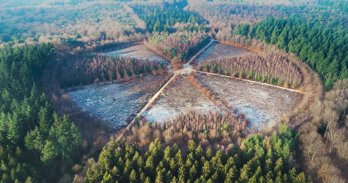
Star-shaped junction of forest paths with frosted heath near Amerongen
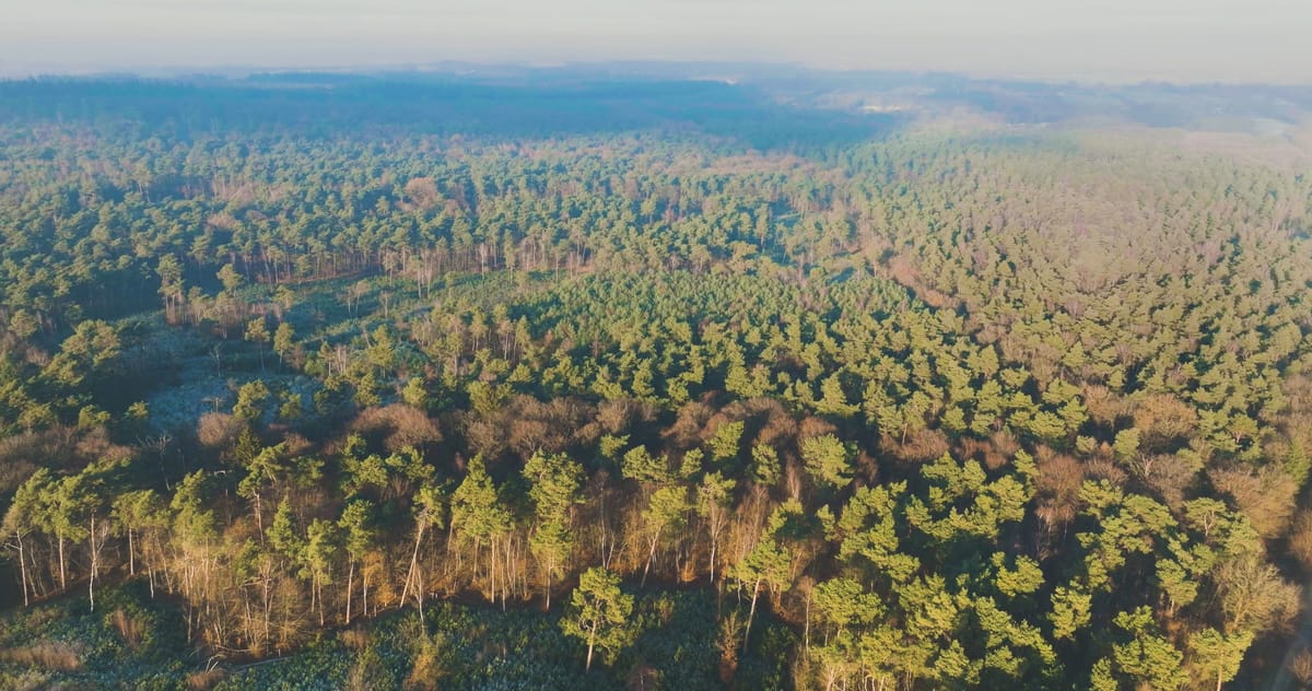
Flyover above mixed forest near Amerongen on a winter morning
About Amerongse Berg
The Amerongse Berg is a wooded hill on the Utrecht Hill Ridge (Utrechtse Heuvelrug), just outside the village of Amerongen in the province of Utrecht. It is the highest point of the ridge, a push moraine shaped by glacial ice during the penultimate ice age and now part of Utrechtse Heuvelrug National Park. From above, mixed woodland alternates with clearings and patches of heathland, all crossed by sandy tracks. One striking feature is a star-shaped layout of eight paths converging on a solitary oak, a clean, almost graphic motif in top-down shots. Winter brings frost on the heather and treetops, low sunlight and morning haze, producing abstract compositions of long shadows and crisp intersecting lines. Below the hill runs the Lower Rhine (Nederrijn) with its floodplains. During high water these meadows flood, leaving shrubs and trees standing in open water, a broad river landscape that contrasts with the enclosed forest on the hill itself.
Whether you may fly a drone over Amerongse Berg depends on the exact spot and time. Always check the current rules on the official drone map.
Nearby
Themes in Amerongse Berg
Amerongse Berg: need something specific?
Can't find the shot you need? Our certified pilots will film it to order.
Book a custom drone shoot