Middelpunt van Nederland drone footage
8 videos · location in Lunteren
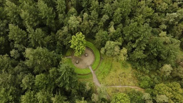
Rising over the Middelpunt van Nederland in the woods near Lunteren
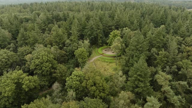
Descending to the Middelpunt van Nederland in the woods near Lunteren
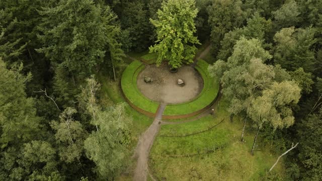
Pull-back from the Middelpunt van Nederland in woods near Lunteren
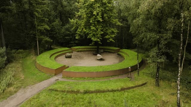
Close view of the Middelpunt van Nederland near Lunteren on a grey day
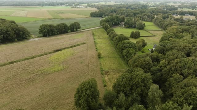
Fields, meadows and forest edge near Lunteren under a grey sky
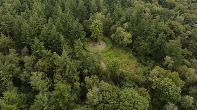
Moving in on the Middelpunt van Nederland in the forest near Lunteren
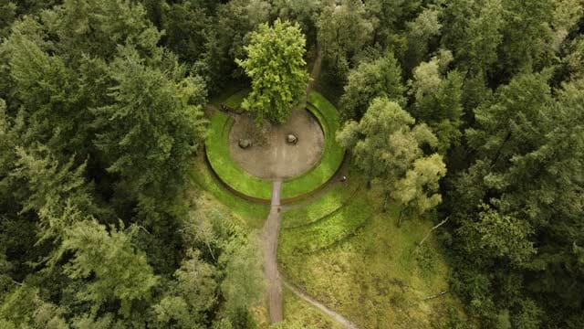
Rising pull-back over the Middelpunt van Nederland near Lunteren
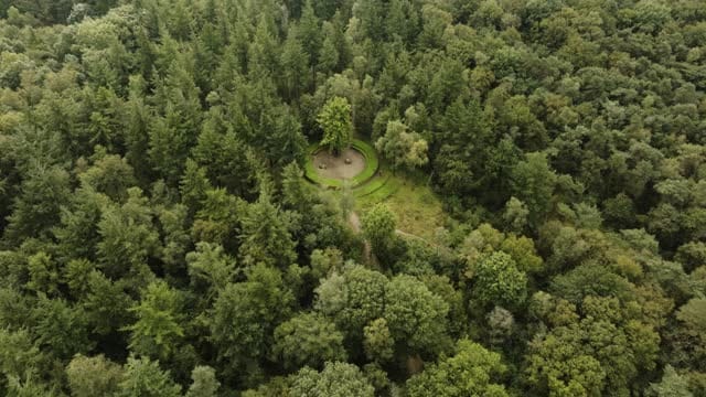
Descending over forest to the Middelpunt van Nederland near Lunteren
About Middelpunt van Nederland
The Centre of the Netherlands, known in Dutch as Middelpunt van Nederland, is a marked spot in the woods near Lunteren, in the municipality of Ede in the province of Gelderland. Lunteren sits where the Veluwe meets the Gelderse Vallei, and the monument marking the country's symbolic midpoint stands within this wooded area. From above, the site reads as a small clearing among the trees, with the monument set against the forest floor. Most of the footage was shot under overcast skies, giving a soft, even light that renders the greens and browns of the woodland in a calm, muted palette. The material includes rising shots that reveal the surrounding forest, pull-backs that place the marker in its wooded setting, and descending and push-in moves that travel over the treetops towards the monument. There is also footage from just beyond the woods, showing arable fields, meadows and a clear forest edge, capturing the mixed landscape around Lunteren.
Whether you may fly a drone over Middelpunt van Nederland depends on the exact spot and time. Always check the current rules on the official drone map.
Nearby
Themes in Middelpunt van Nederland
Middelpunt van Nederland: need something specific?
Can't find the shot you need? Our certified pilots will film it to order.
Book a custom drone shoot