Ooltgensplaat drone footage
25 videos · town in South Holland
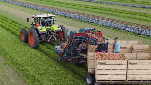
Carrot harvest with tractor and harvester near Ooltgensplaat
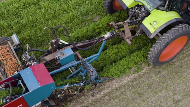
Close-up of a carrot harvester at work near Ooltgensplaat
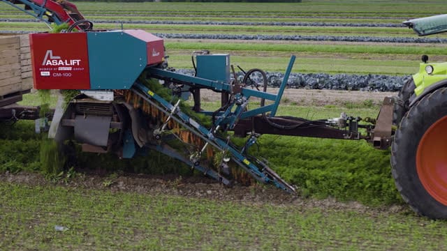
Pull-back from a carrot harvester behind a tractor near Ooltgensplaat
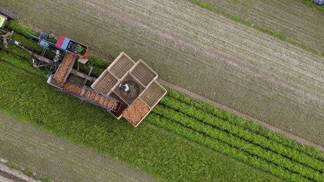
Top-down view of carrots filling crates near Ooltgensplaat
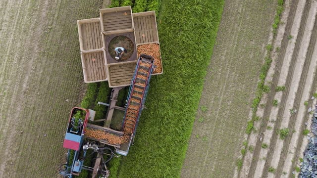
Rotating top-down view of the carrot harvest near Ooltgensplaat
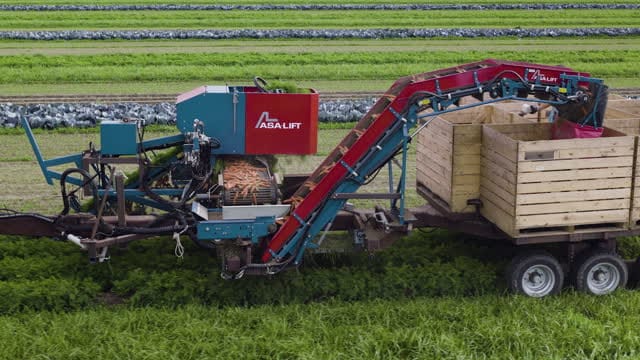
Orbit around a tractor with carrot harvester near Ooltgensplaat
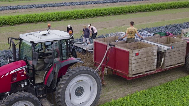
Red cabbage harvest with tractor and conveyor near Ooltgensplaat
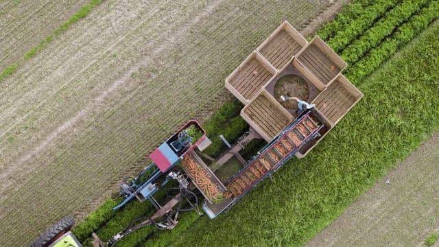
Top-down view of a carrot harvester at work near Ooltgensplaat
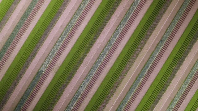
Top-down view of striped vegetable strips near Ooltgensplaat
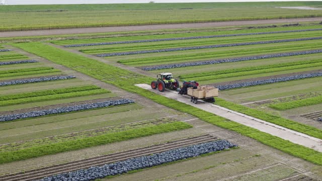
Tractor with carrot harvester on a farm path near Ooltgensplaat
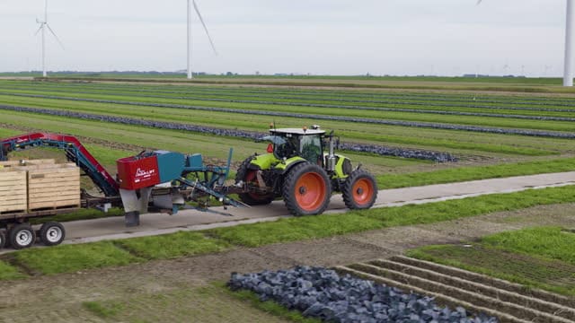
Tracking shot of a tractor with harvester near Ooltgensplaat
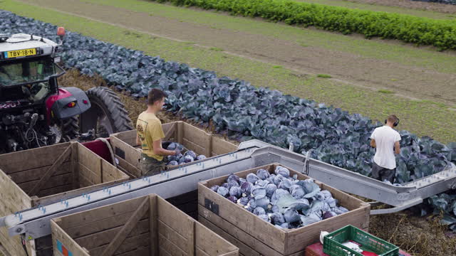
Workers filling wooden crates with red cabbage near Ooltgensplaat
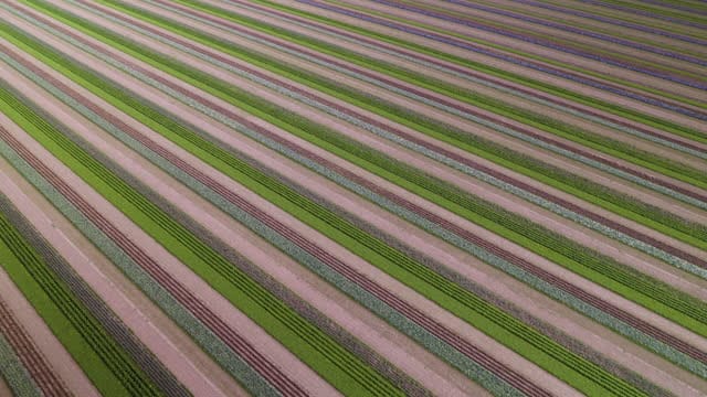
Diagonal strips of vegetables and cabbage near Ooltgensplaat
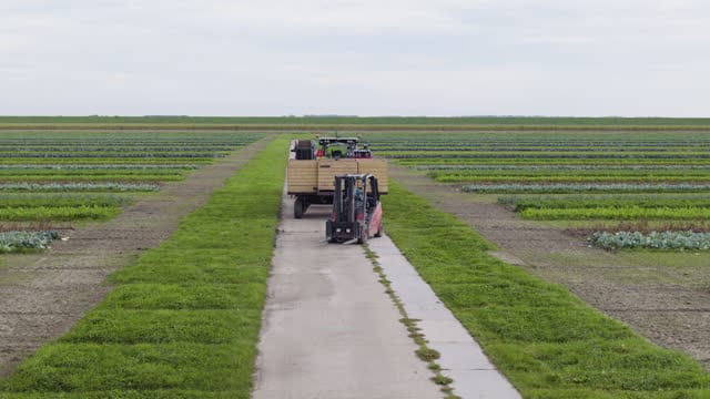
Forklift and tractor with crates on a farm path near Ooltgensplaat
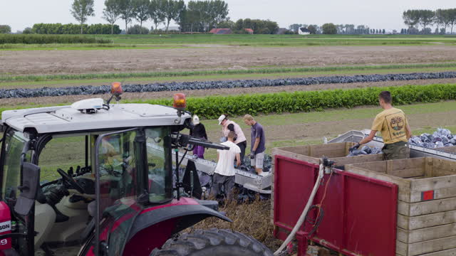
Hand harvest of red cabbage behind a tractor near Ooltgensplaat
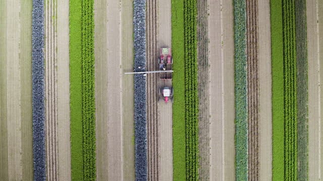
Top-down view of a tractor between vegetable strips near Ooltgensplaat
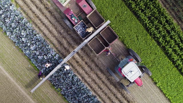
Top-down of a red cabbage harvest with tractor near Ooltgensplaat
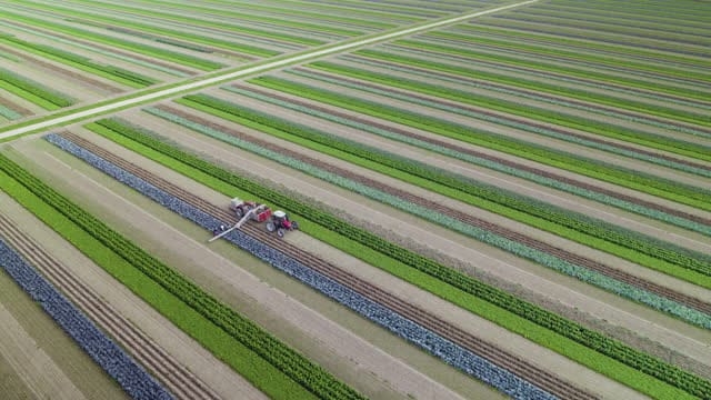
Descending view over striped cabbage fields near Ooltgensplaat
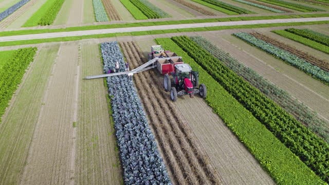
Descending towards a tractor harvesting red cabbage, Ooltgensplaat
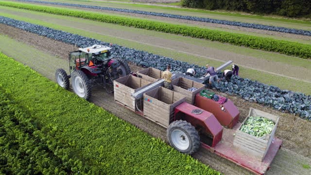
Pickers and tractor with crates in a red cabbage field, Ooltgensplaat
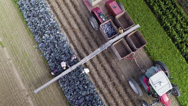
Rising shot over a red cabbage harvest near Ooltgensplaat
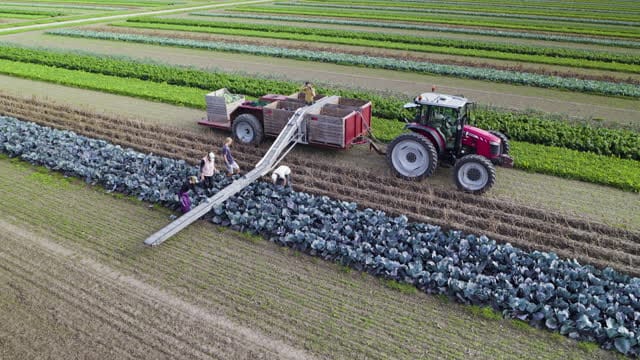
Hand harvest of red cabbage with a tractor near Ooltgensplaat
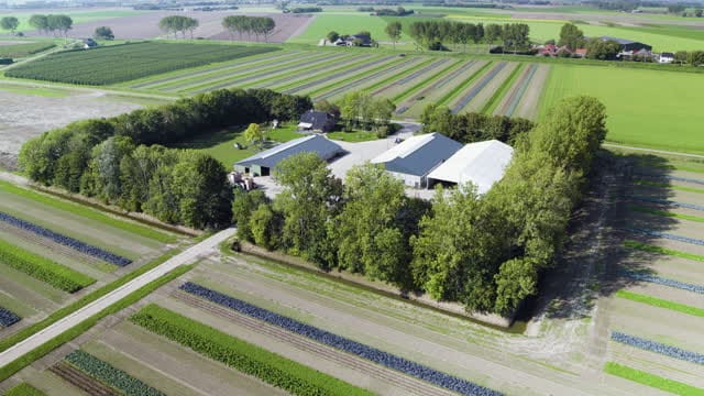
Farmyard with barns among vegetable fields near Ooltgensplaat
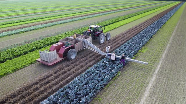
Descending to pickers and crate trailer in red cabbage, Ooltgensplaat
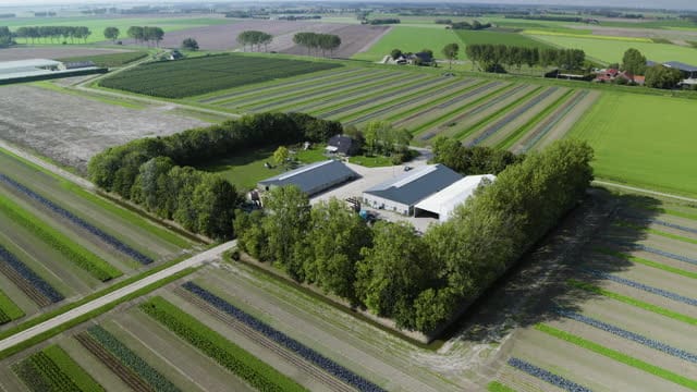
Flying towards a tree-lined farmyard near Ooltgensplaat
About Ooltgensplaat
Ooltgensplaat is a village on the eastern side of Goeree-Overflakkee, an island in the province of South Holland, close to the Volkerak waters. Once a municipality in its own right, it now belongs to the municipality of Goeree-Overflakkee. The village is surrounded by flat polder land laid out in large rectangular fields, edged by ditches, dykes and narrow farm tracks, with the occasional farmyard and its barns and wind turbines on the skyline. The aerial footage centres on arable farming, in particular the harvest. Tractors pull carrot harvesters across the fields, carrots tumble into crates, pickers work between rows of red cabbage, and forklifts shift stacked crates along the field edges. Shot top-down, the crops form tight, sometimes diagonal bands of green, purple and brown that read almost as abstract graphics. The material suits stories about food production, agriculture, seasonal labour and the island landscape of the southwestern Netherlands delta.
Whether you may fly a drone over Ooltgensplaat depends on the exact spot and time. Always check the current rules on the official drone map.
Nearby
Themes in Ooltgensplaat
Ooltgensplaat: need something specific?
Can't find the shot you need? Our certified pilots will film it to order.
Book a custom drone shoot