Zeelandbrug drone footage
9 videos · location
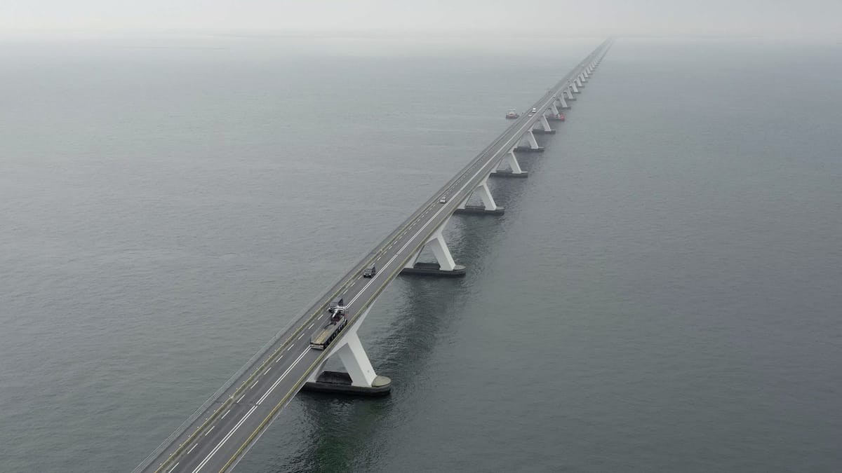
Zeelandbrug across the Oosterschelde fading into the mist
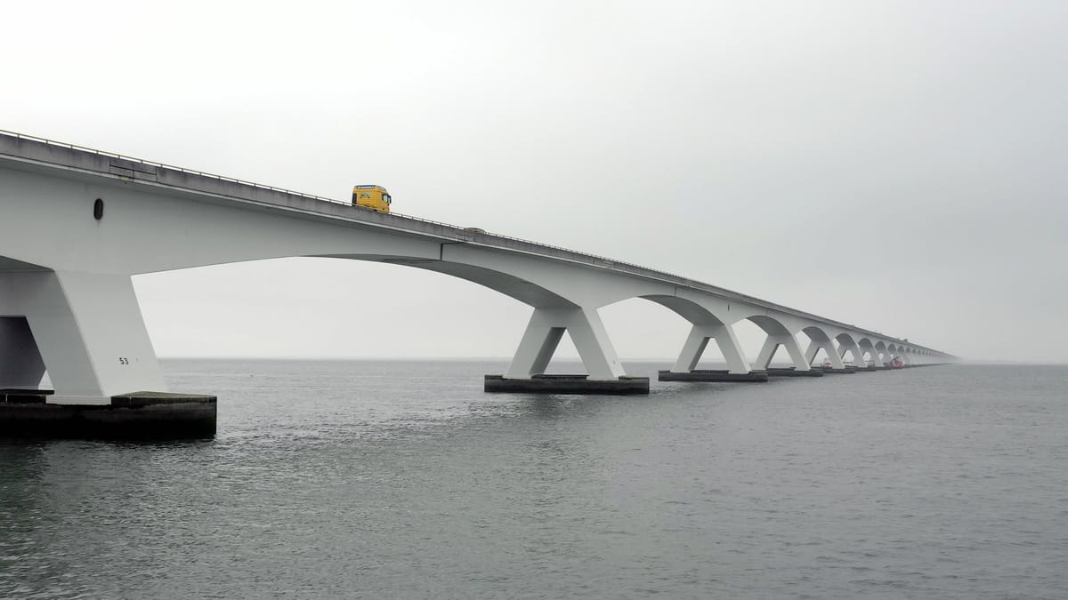
Tracking a lorry across the Zeelandbrug over the Oosterschelde in haze
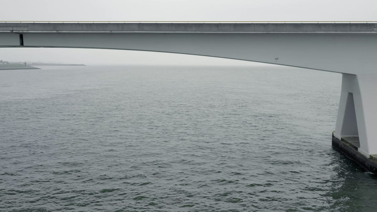
Low flight under the Zeelandbrug over the Oosterschelde in mist
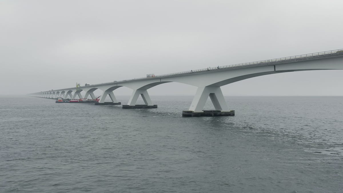
Sideways flight along the piers of the Zeelandbrug in grey weather
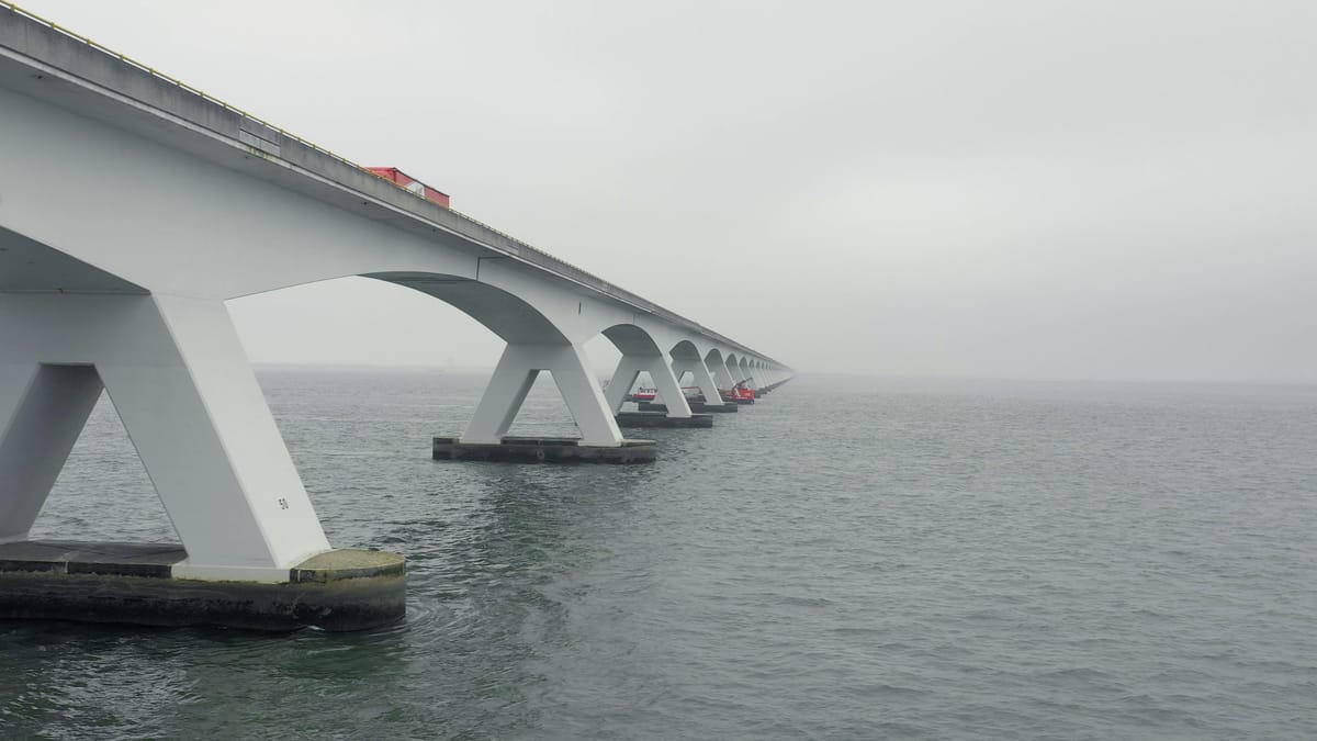
Low flight under the Zeelandbrug over the Oosterschelde in mist
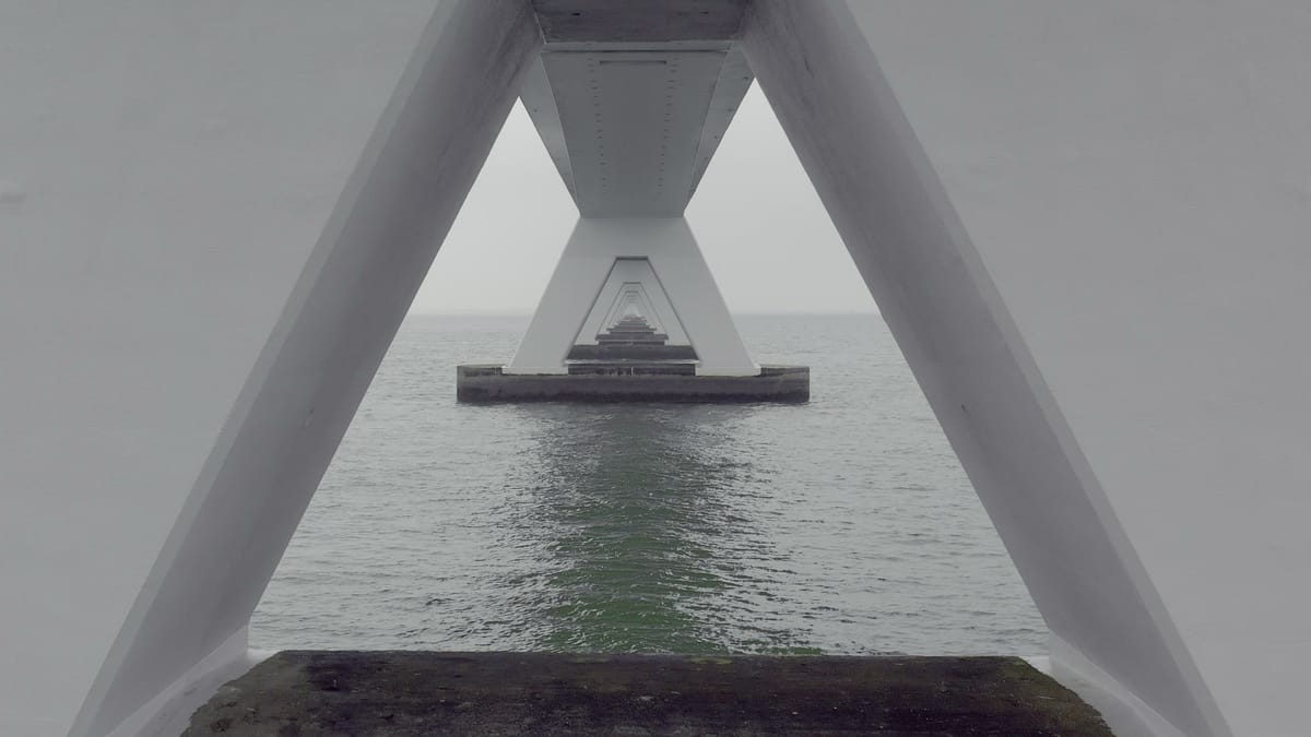
Low flight between the piers of the Zeelandbrug over the Oosterschelde
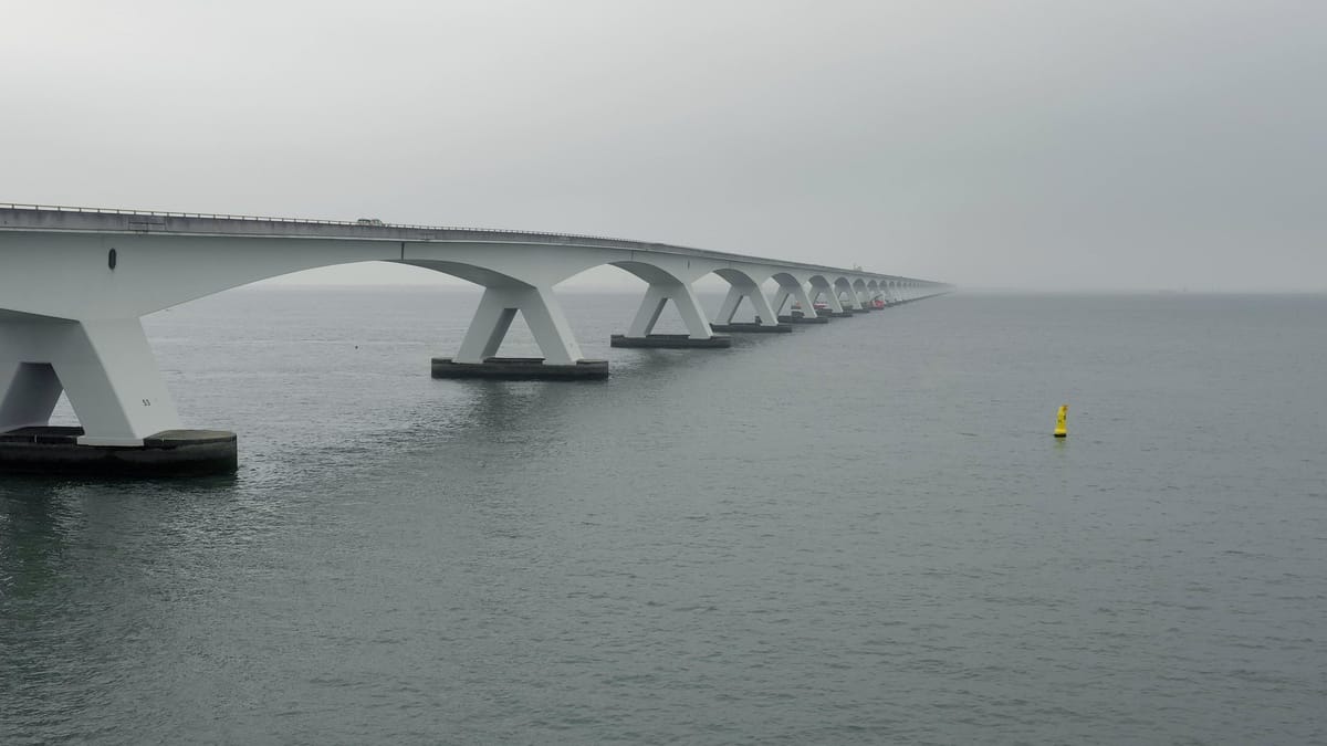
Rising shot along the Zeelandbrug over the Oosterschelde in mist
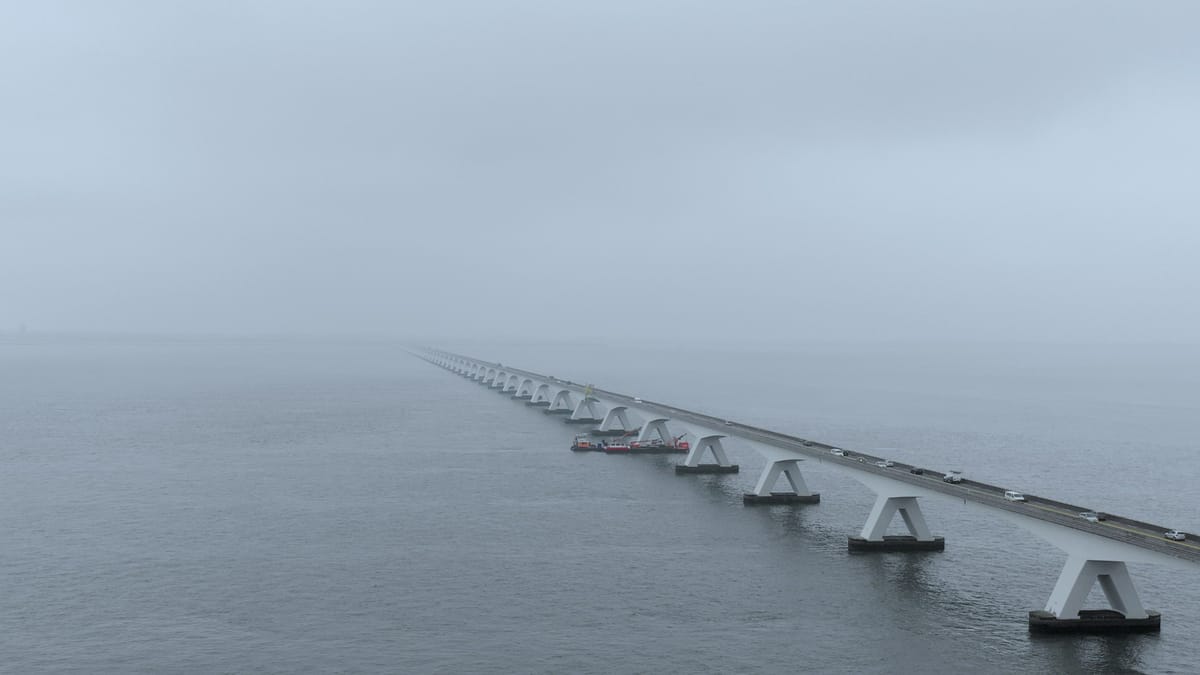
Zeelandbrug over the Oosterschelde in thick fog
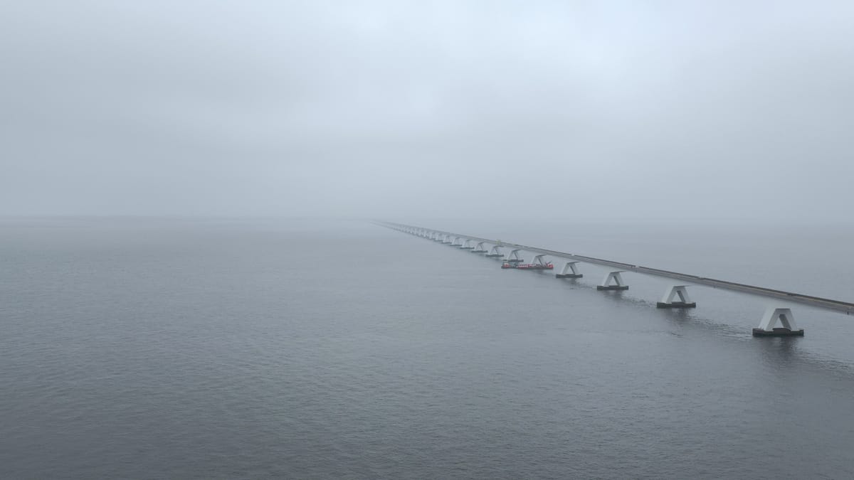
Zeelandbrug across the Oosterschelde in thick fog
About Zeelandbrug
The Zeeland Bridge carries the N256 road across the Eastern Scheldt, linking Schouwen-Duiveland near the old harbour town of Zierikzee with Noord-Beveland at Colijnsplaat. Opened in 1965 and stretching for more than five kilometres, the concrete bridge includes a bascule section on the Schouwen-Duiveland side to let shipping through. From the air the structure reads as a long, regular procession of piers marching across the open tidal water of the Eastern Scheldt National Park, with dikes and low farmland on the distant shores. The footage here focuses on the bridge in mist, fog and flat grey light, where the deck fades into nothing and the piers emerge from a calm, silvery surface. Shots include low passes beneath the deck and between the piers, sideways moves along the columns, rising reveals along the span, and a lorry tracked across the bridge through the haze. Together they offer a muted, almost graphic view of engineering and water in the Zeeland delta, suited to themes of infrastructure, transport, distance and isolation.
Whether you may fly a drone over Zeelandbrug depends on the exact spot and time. Always check the current rules on the official drone map.
Nearby
Themes in Zeelandbrug
Zeelandbrug: need something specific?
Can't find the shot you need? Our certified pilots will film it to order.
Book a custom drone shoot