Overijssel drone footage
51 videos · province · page 2 of 2
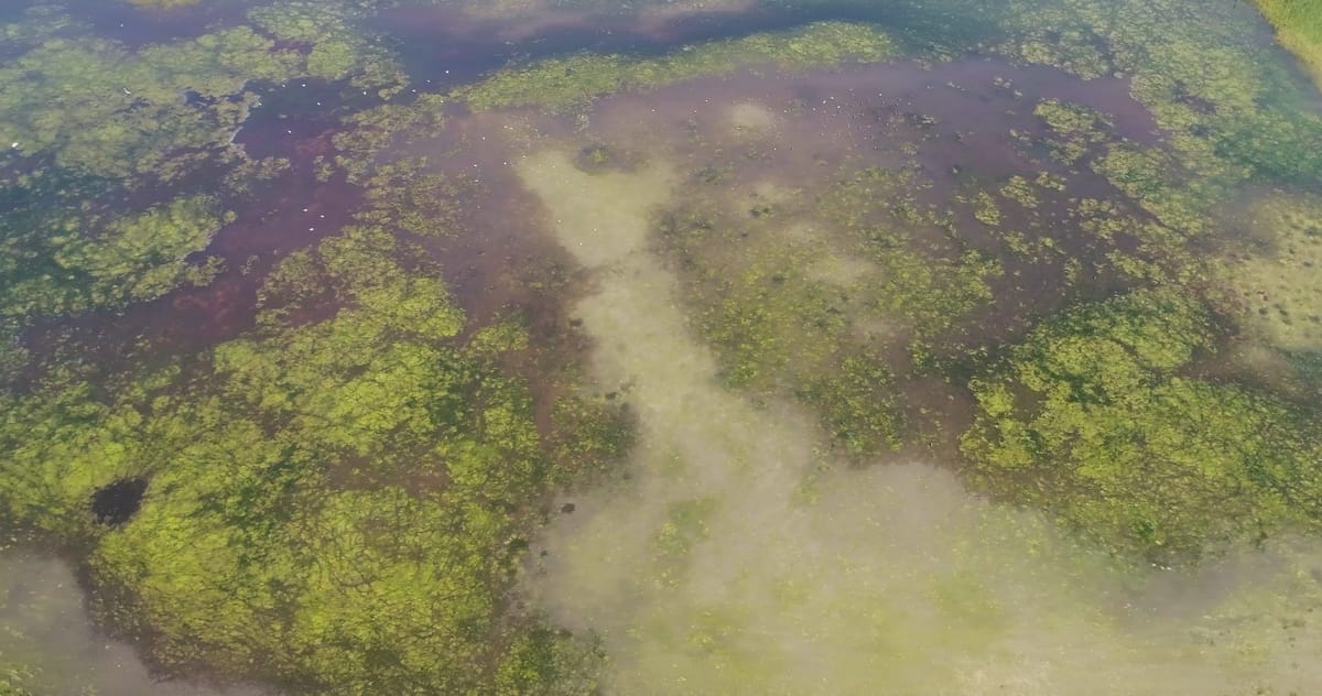
Partly dried-out pond with aquatic plants near Haaksbergen
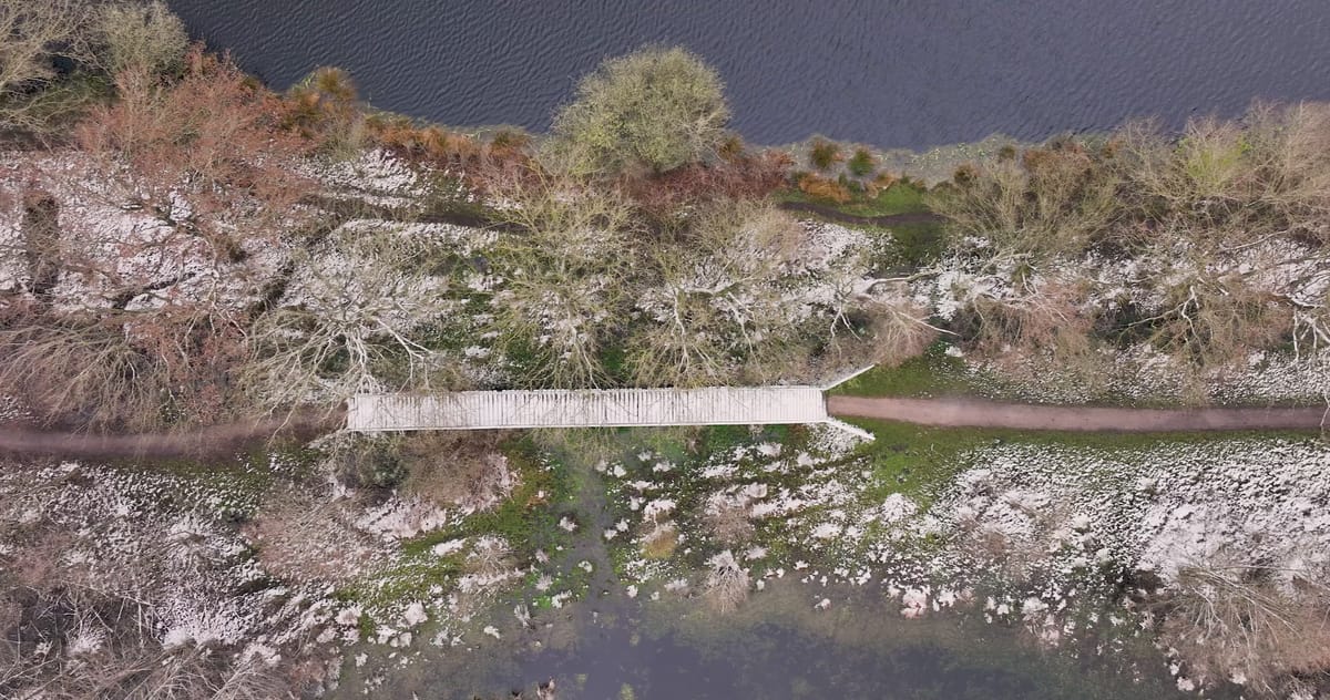
Top-down over a snowy footpath with a footbridge near Haaksbergen
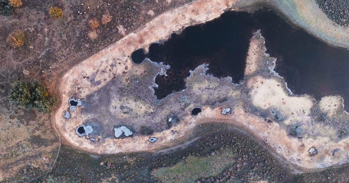
Top-down over a frosty fen pool in De Bergvennen near Lattrop
About Overijssel
Overijssel is a province in the east of the Netherlands, with Zwolle as its capital and a long border with Germany. It stretches from the watery northwest through Salland to the Twente region in the east, crossed by the rivers IJssel and Vecht. The footage here centres on Twente and the border country, where fens, heathland and wet woodland dominate. Around Saasveld, bare birches stand among small green pools; near Haaksbergen, the Witte Veen and Buurserzand reserves show bog pools, some partly dried out. De Bergvennen and the Brecklenkampse Veld near Lattrop-Breklenkamp combine open heath, fens and mixed forest, while De Borkeld near Holten offers heathland dotted with Scots pines. Around Ootmarsum, the small-scale farmland of Twente appears as mown meadows with grass windrows, hedgerows and tree belts, grain fields and scattered farmhouses. Seasonal change is strongly present: autumn forest with long low-sun shadows, frost on fens and heather, and snow-covered woodland and paths, frequently filmed top-down to bring out shapes and textures.
Whether you may fly a drone over Overijssel depends on the exact spot and time. Always check the current rules on the official drone map.
Towns and locations in Overijssel
Nearby
Themes in Overijssel
Overijssel: need something specific?
Can't find the shot you need? Our certified pilots will film it to order.
Book a custom drone shoot