Bergherbos drone footage
13 videos · location in Gelderland
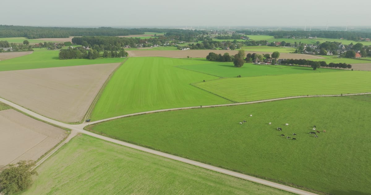
Meadows with grazing cows near Loerbeek in Montferland
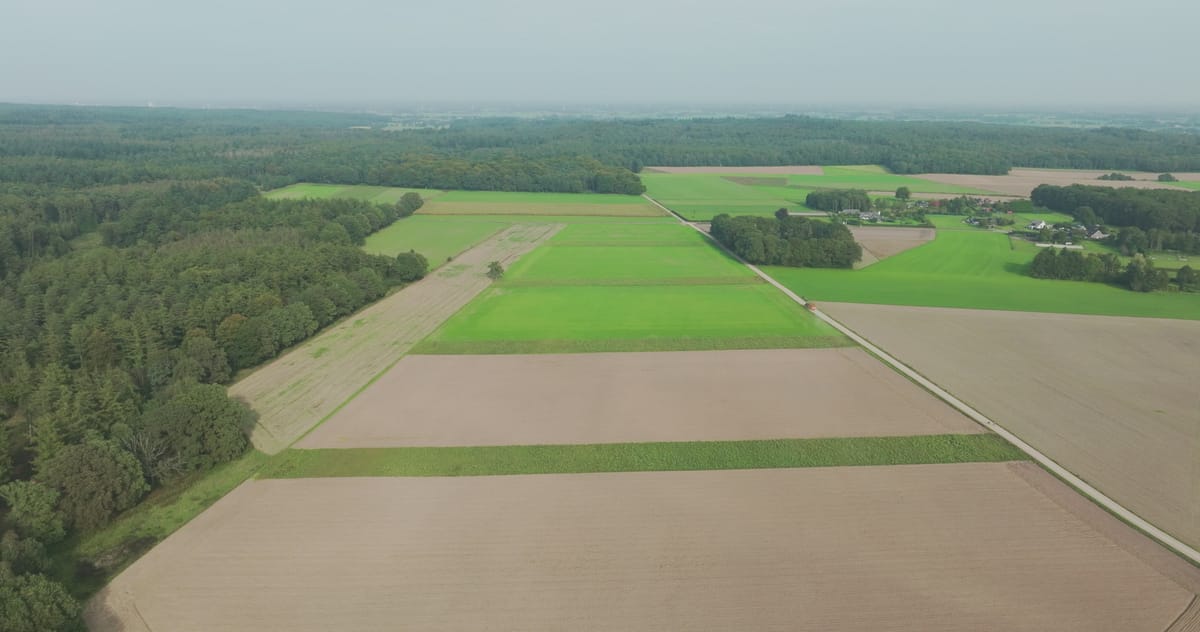
Forest edge and farmland near Loerbeek in Montferland under grey skies
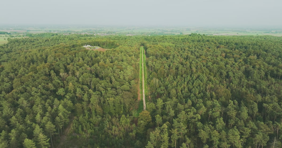
Flight over forest with a straight lane near Loerbeek, Montferland
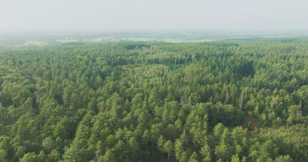
Slow flight over pine forest near Loerbeek in morning haze
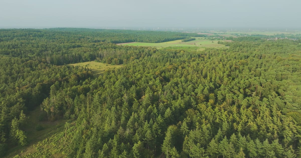
Hilly conifer forest of the Bergherbos in Montferland
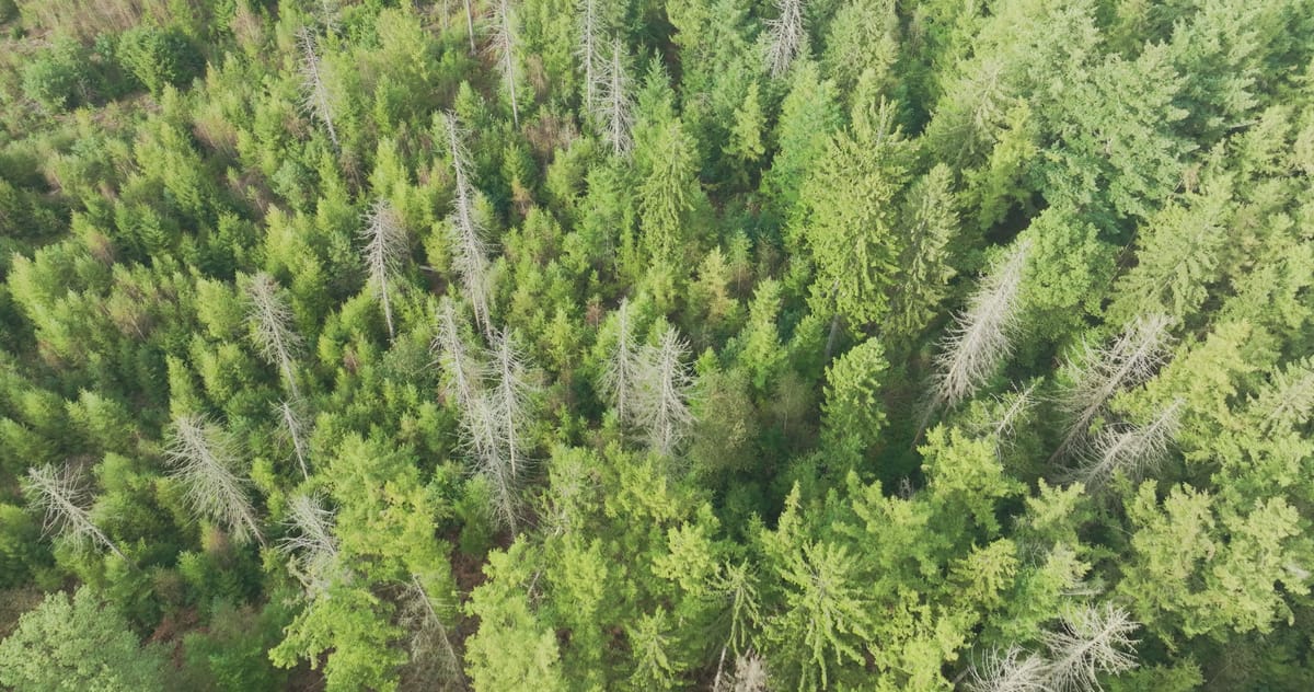
Dead spruces in a conifer forest near Loerbeek, Montferland
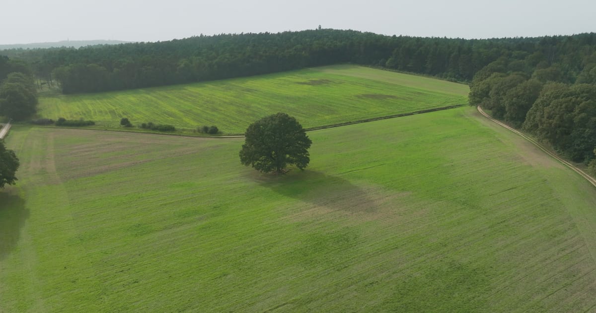
Rising view of a lone tree in a meadow near Loerbeek, Montferland
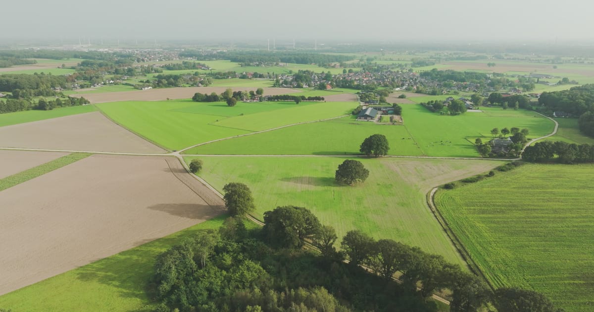
Flyover across meadows and fields near Loerbeek in Montferland
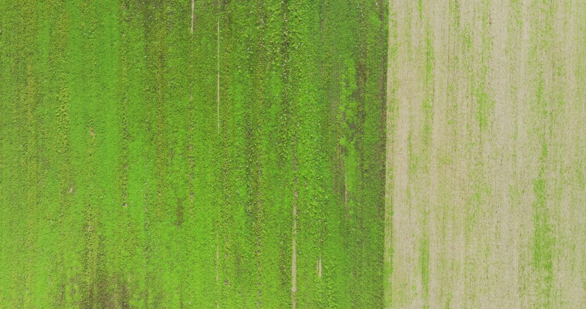
Green field beside a bare field from directly above in Montferland
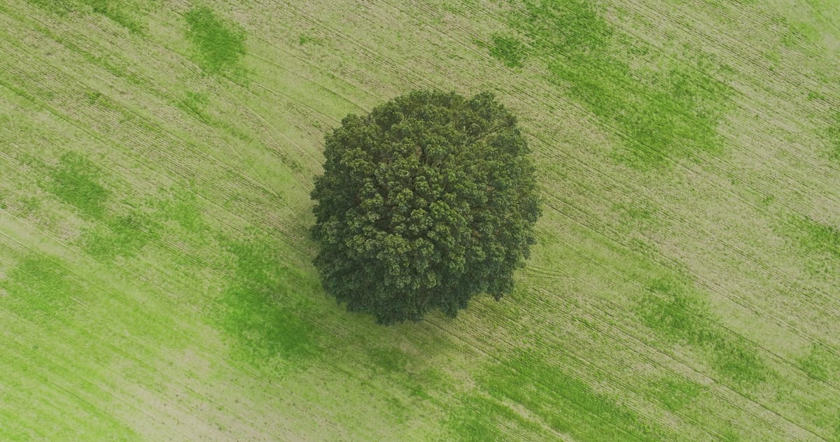
Rotating top-down view of a lone tree in a field in Montferland
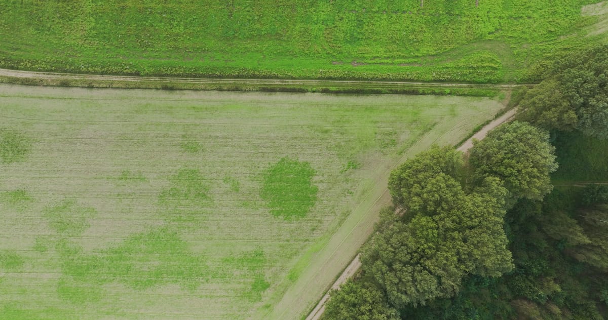
Top-down over a patchy green field near Loerbeek, Montferland
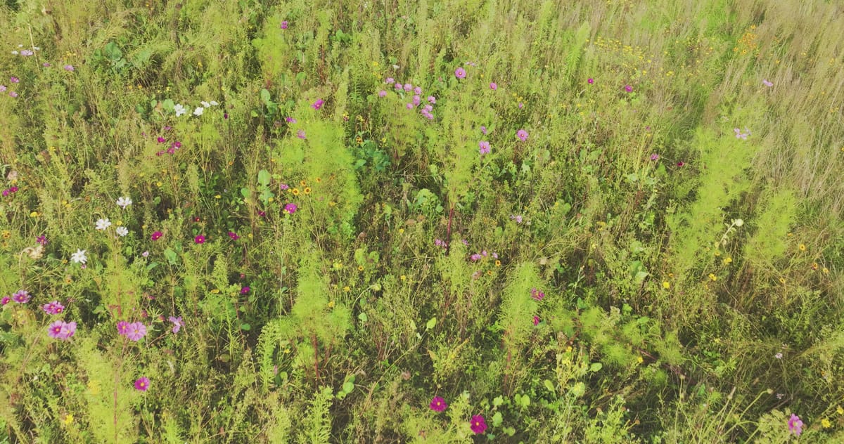
Low flight over a wildflower field margin with cosmos in Montferland
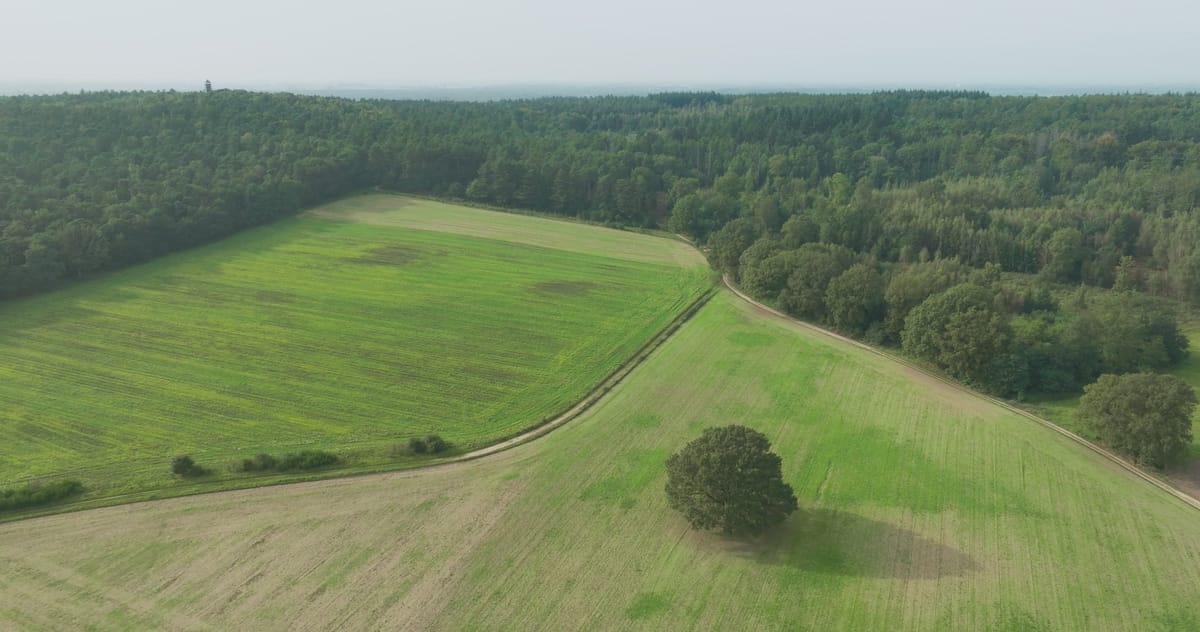
Flight over fields towards a hilly forest near Loerbeek
About Bergherbos
The Bergherbos is a large, hilly woodland in the municipality of Montferland in the east of Gelderland, close to the German border. It covers an ice-pushed ridge formed during the penultimate glacial period, between villages such as 's-Heerenberg, Zeddam and Loerbeek, and is largely managed by the conservation body Natuurmonumenten. From above, the rolling terrain stands out, clothed in dense conifer and mixed forest and cut through by dead-straight forest lanes. In places, stands of dead spruce show up as grey patches among the green.
At the forest edge the landscape opens into a patchwork of pasture and arable land, with grazing cattle, solitary trees in the middle of fields and flowering field margins full of cosmos. Shot straight down, green and bare plots side by side create graphic, almost abstract compositions. The footage captures the area in varied conditions, from morning haze hanging over the treetops to flat grey skies above the farmland, making it suited to stories about woodland and conservation, rural farming landscapes and the contrast between forest and field.
Whether you may fly a drone over Bergherbos depends on the exact spot and time. Always check the current rules on the official drone map.
Nearby
Themes in Bergherbos
Bergherbos: need something specific?
Can't find the shot you need? Our certified pilots will film it to order.
Book a custom drone shoot