IJsselkop drone footage
16 videos · location in Gelderland
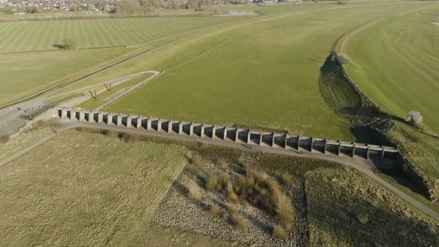
Orbit around a concrete inlet structure in the Westervoort floodplain
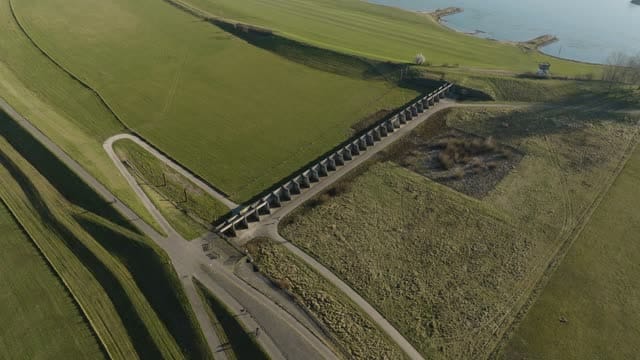
Concrete inlet structure at the foot of the dike near Westervoort
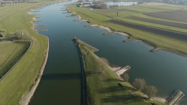
River bifurcation at the IJsselkop in Westervoort
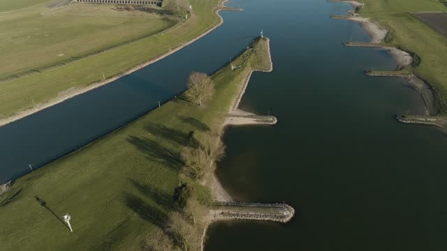
Flight over the tip of the IJsselkop near Westervoort
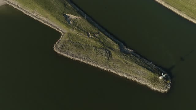
From top-down to wide view of the IJsselkop near Westervoort
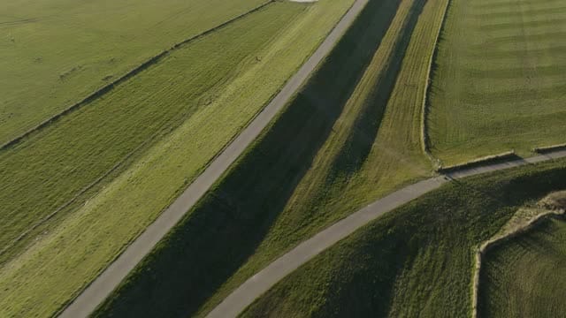
Flight over dike slopes to a concrete inlet structure near Westervoort
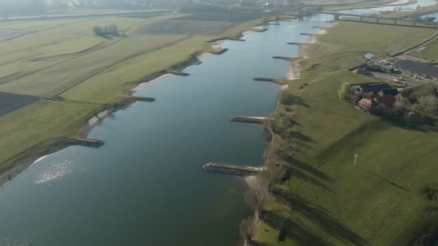
River with groynes and meadows near Westervoort in winter backlight
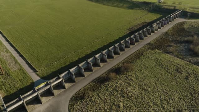
Pull-back from a concrete inlet structure near Westervoort
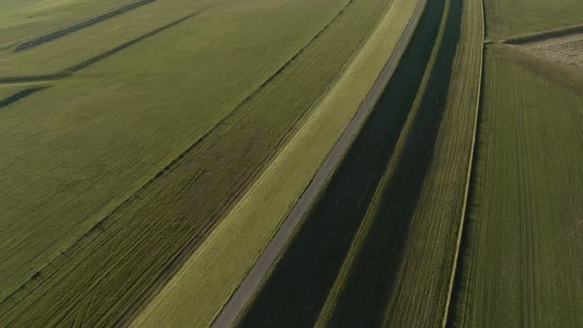
Flight along a grass dike with a cycle path near Westervoort
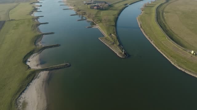
The IJsselkop near Westervoort, where the Nederrijn and IJssel split
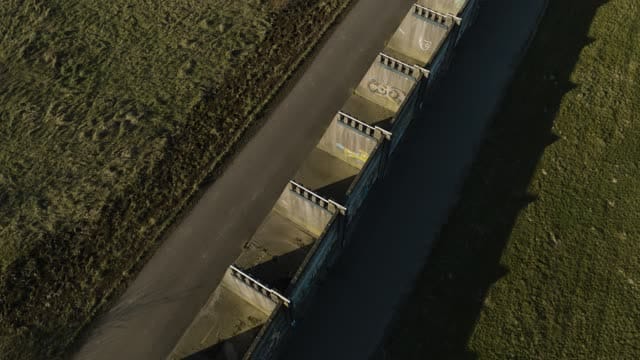
Concrete inlet weir with graffiti in the floodplain near Westervoort
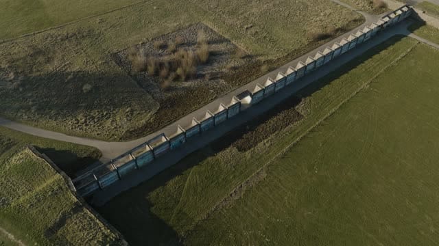
Rising view of a concrete inlet weir near Westervoort
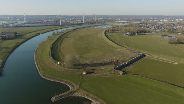
High-water channel and river near Westervoort with wind turbines
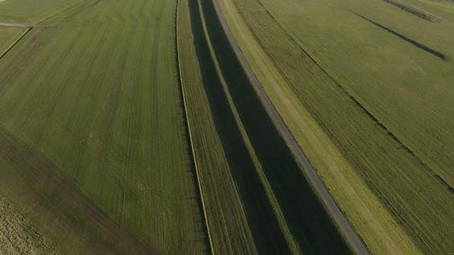
Flyover along a ditch and dike path in floodplain near Westervoort
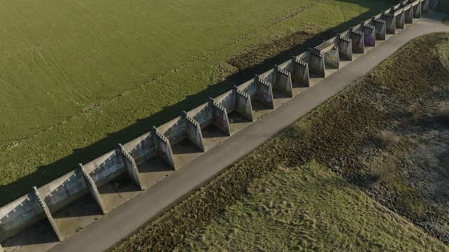
Concrete weir wall with buttresses and graffiti near Westervoort
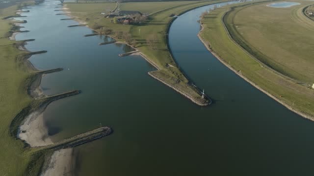
Reveal over the IJsselkop near Westervoort with wind turbines
About IJsselkop
The IJsselkop near Westervoort, just east of Arnhem in the province of Gelderland, is the point where the IJssel branches off from the Lower Rhine (Nederrijn). It is a key junction in the Dutch river system, governing how Rhine water is shared between the two rivers, and from above the split reads clearly as two channels fanning apart between grassy dikes and broad floodplains. Top-down shots reveal the geometry of the bifurcation, while wider views and reveals place it within the surrounding river landscape, with wind turbines on the skyline. Closer in, the engineering takes over: concrete inlet structures and buttressed retaining walls, some covered in graffiti, sit at the foot of the dike and out in the floodplain. Grass dikes with cycle paths, sloping embankments, drainage ditches and groynes along the banks create strong lines suited to slow tracking shots and abstract framing. Grazing meadows give the floodplain a rural feel, and low winter sun brings backlit water and frosty grass.
Whether you may fly a drone over IJsselkop depends on the exact spot and time. Always check the current rules on the official drone map.
Nearby
Themes in IJsselkop
IJsselkop: need something specific?
Can't find the shot you need? Our certified pilots will film it to order.
Book a custom drone shoot