Bourtange drone footage
16 videos · town in Groningen
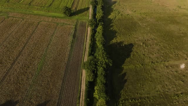
Fields and a tree-lined ditch near Bourtange at golden hour
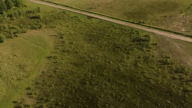
Meadows and a dirt road near Bourtange with wind turbines beyond
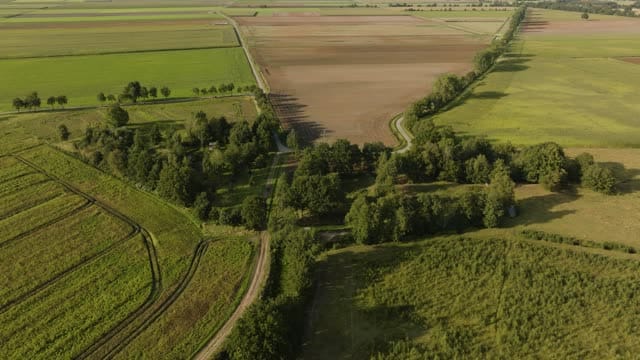
Fields, dirt tracks and tree lines near Bourtange in low sunlight
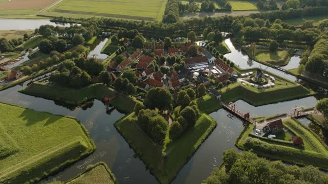
Bourtange star fort with bastions and moats at golden hour
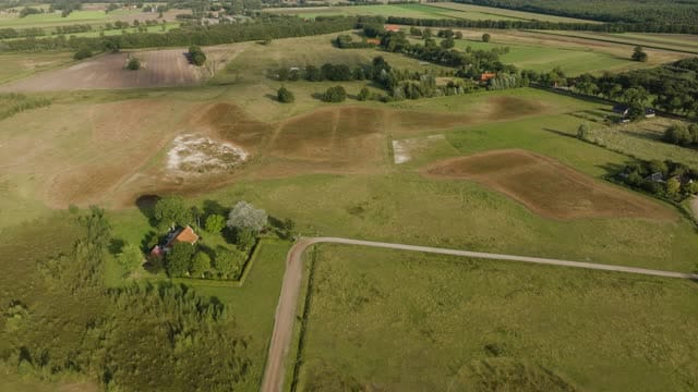
Open grassland and farmhouse near Bourtange in low evening light
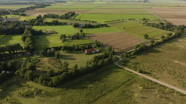
Meadows, fields and farmhouse near Bourtange in low sunlight
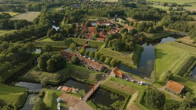
Flyover towards Bourtange fortress over moat and drawbridge
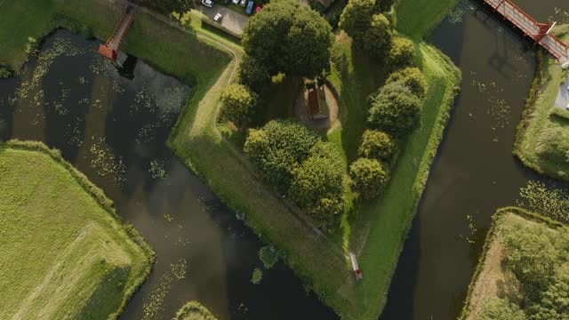
Top-down over a Bourtange bastion, rising over the fortress village
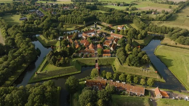
Pull-back over Bourtange fortress village and surrounding farmland
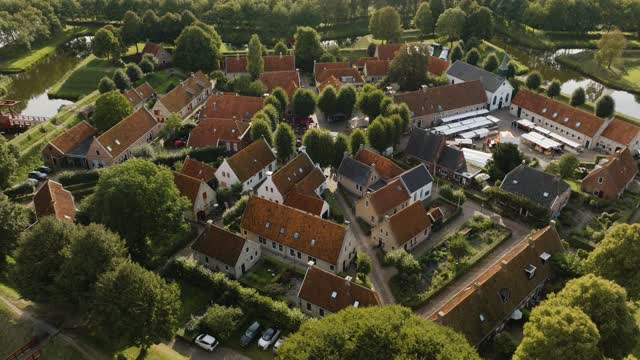
Pull-back over the streets of Bourtange fortress village
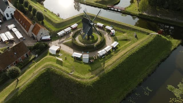
Windmill with market stalls on a bastion in Bourtange in low sun
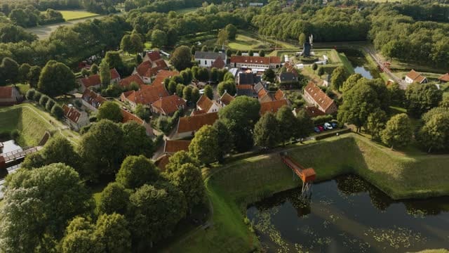
Orbit around the red roofs of Bourtange fortress village
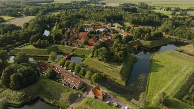
Orbit around the bastions and moats of Bourtange fortress
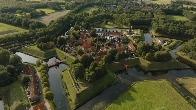
Bourtange fortified village with bastions and moats in evening light
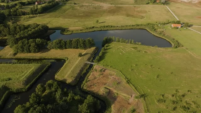
Moats and meadows by Bourtange fortress, tilting up to the horizon
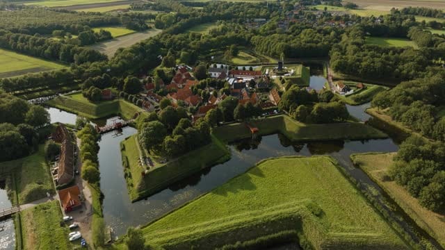
Orbit around Bourtange fortified village with windmill and moats
About Bourtange
Bourtange is a fortified village in the municipality of Westerwolde, in the south-east of the province of Groningen, right by the German border. Built as a star fort during the Eighty Years' War, it was later restored to its historic layout and now reads from the air almost like a drawing: pointed bastions, grassy ramparts and concentric moats surround a central square from which narrow streets radiate outwards. Red tiled roofs, green earthworks and dark water create a clean geometric pattern that works well both in straight top-down shots and in slow orbits. A windmill stands on one of the bastions, at times with market stalls set up around it, and wooden drawbridges cross the moats. Beyond the fort lies the open farmland of Westerwolde, with meadows, arable fields, sandy tracks, tree lines and scattered farmhouses, and wind turbines on the horizon. Low morning or evening sun brings out the relief of the ramparts and the lines of ditches and field boundaries.
Whether you may fly a drone over Bourtange depends on the exact spot and time. Always check the current rules on the official drone map.
Nearby
Themes in Bourtange
Bourtange: need something specific?
Can't find the shot you need? Our certified pilots will film it to order.
Book a custom drone shoot