Hoeksmeer drone footage
9 videos · location in Garrelsweer
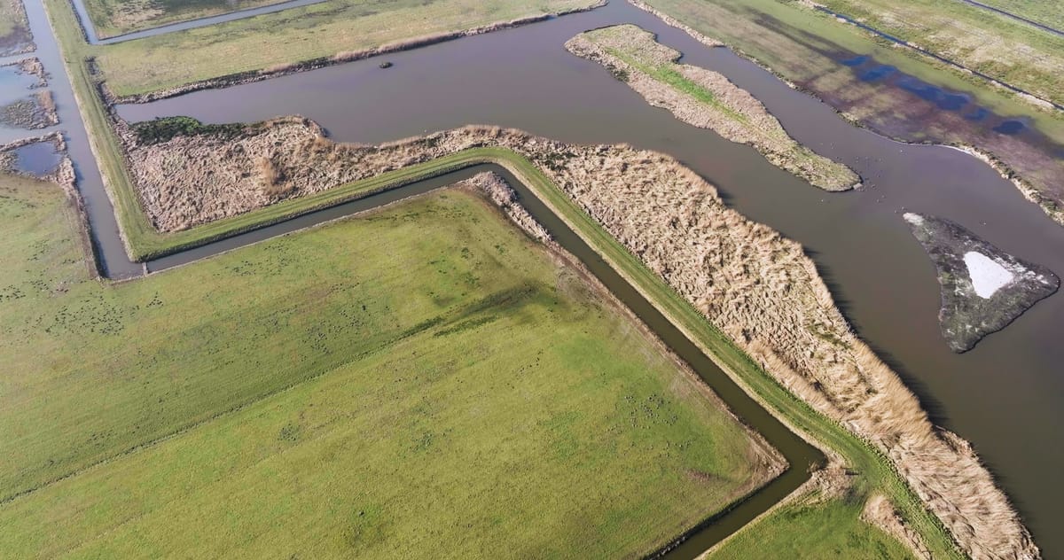
Flyover of water, reed beds and wet grasslands near Garrelsweer
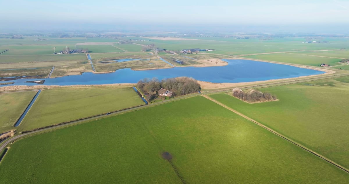
Descending view of the Hoeksmeer near Garrelsweer in winter
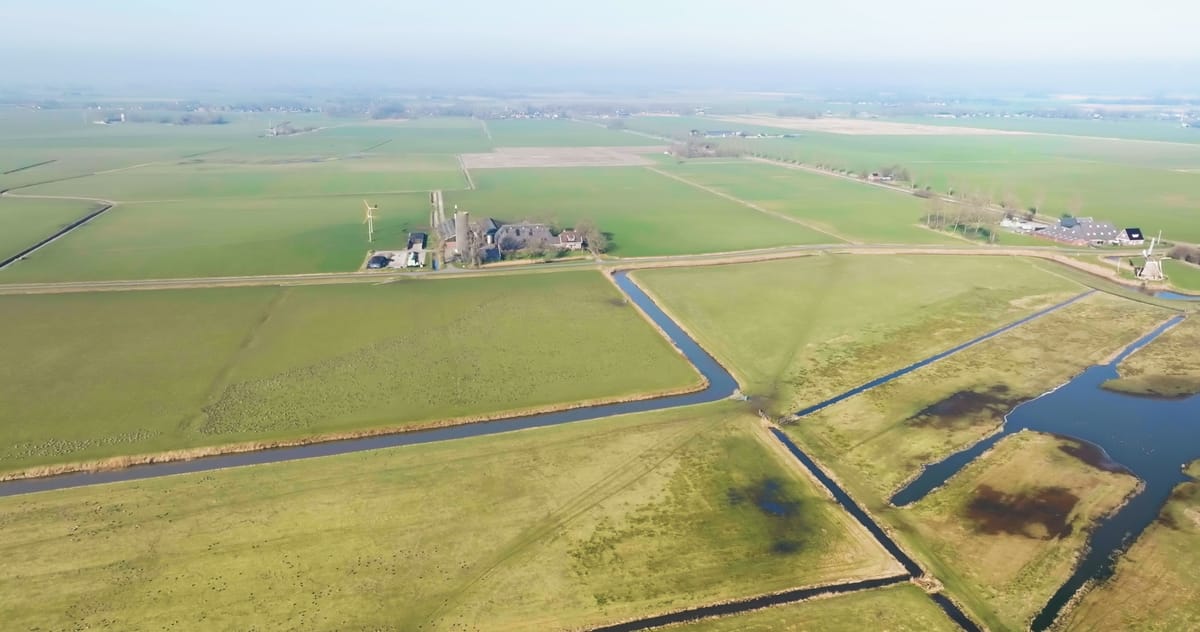
Hoeksmeer nature reserve with pools and meadows near Garrelsweer
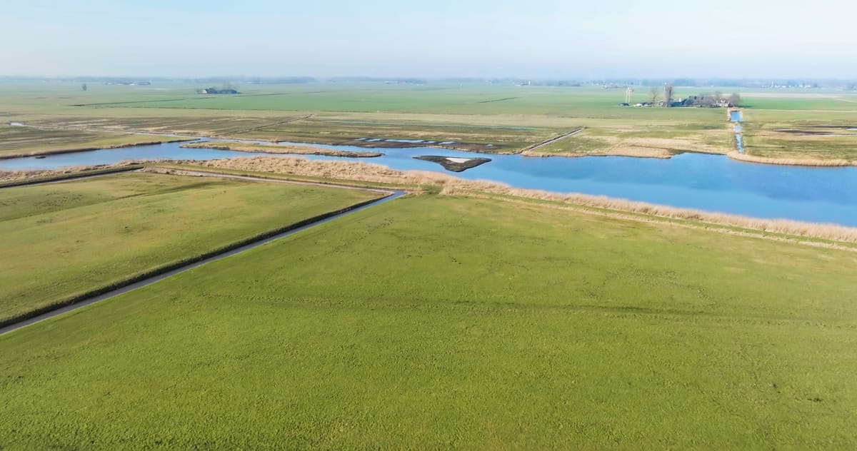
Rising view over the Hoeksmeer nature reserve near Garrelsweer
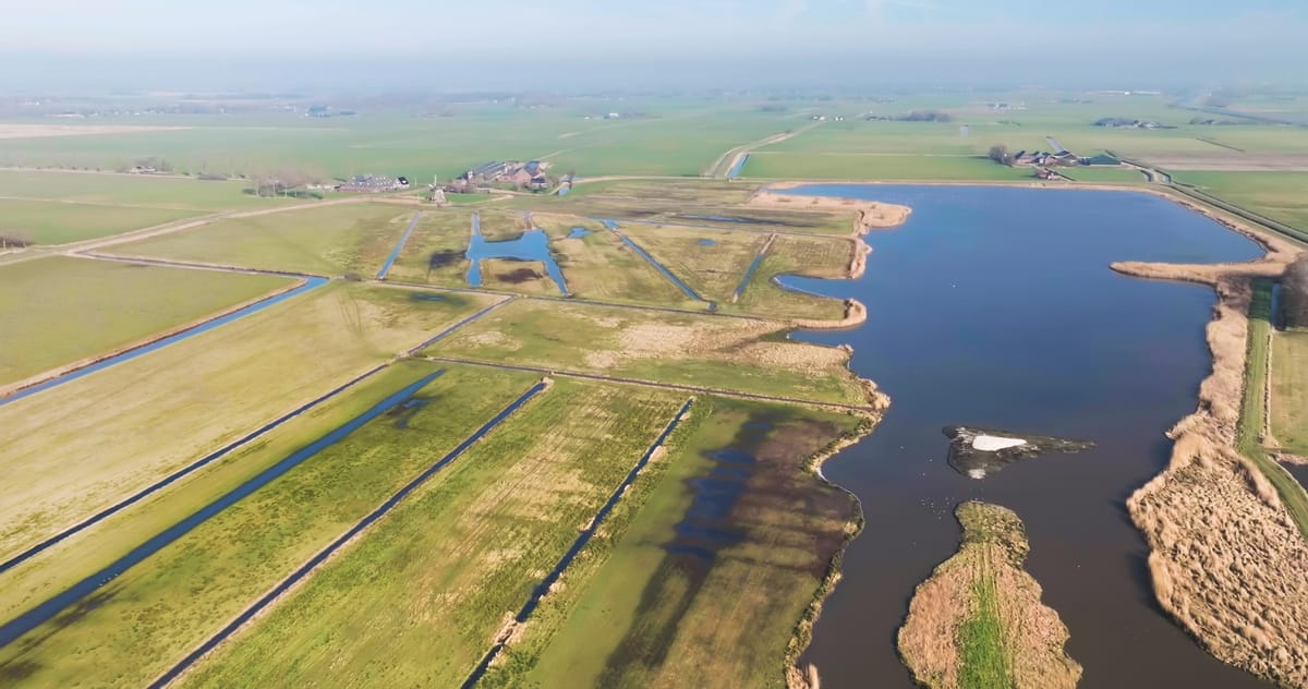
Hoeksmeer nature reserve with lake and wet meadows near Garrelsweer
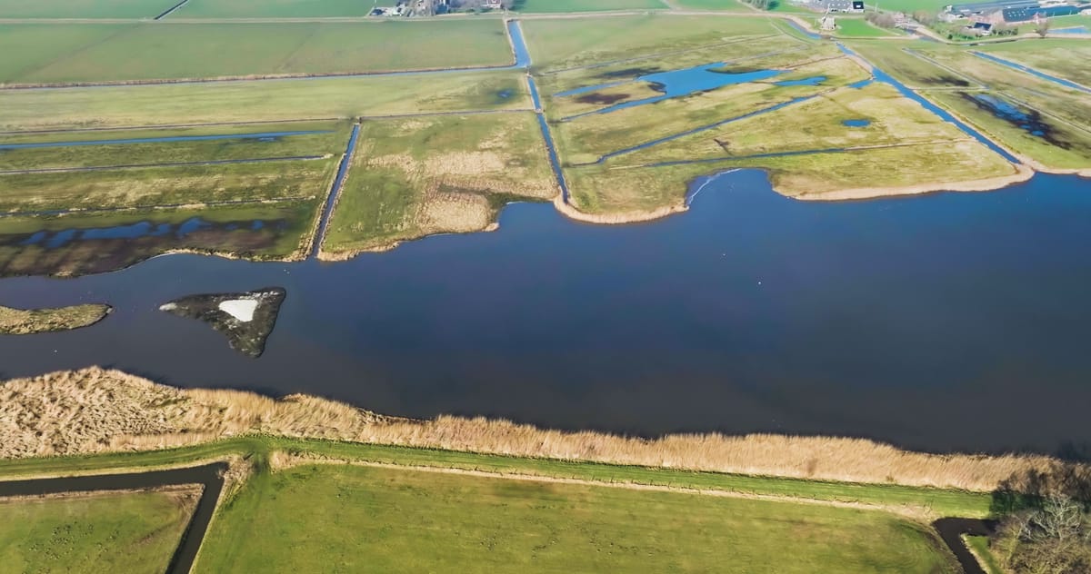
Sideways flight over lake and reed beds near Garrelsweer in winter
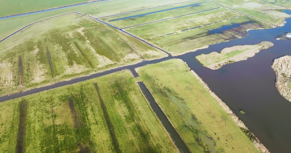
Flyover of wet grassland and lake near Garrelsweer, Groningen
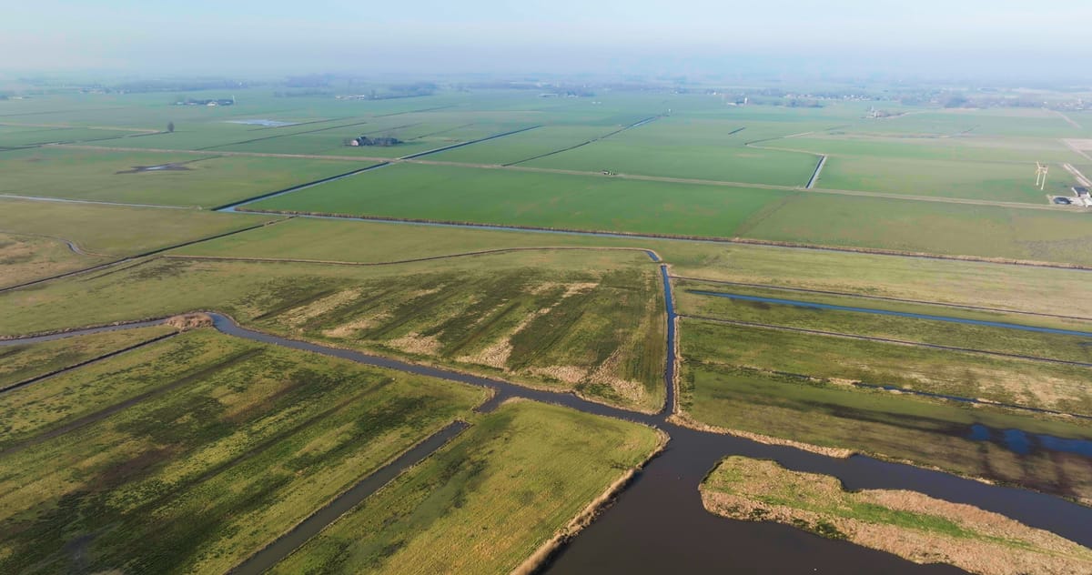
Orbit over a nature reserve and polder near Garrelsweer, Groningen
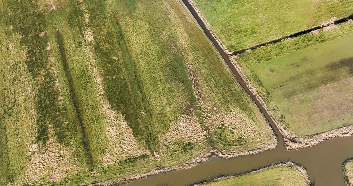
Top-down over marshy grassland and ditches near Garrelsweer, Groningen
About Hoeksmeer
Hoeksmeer is a wetland nature reserve near the village of Garrelsweer in the province of Groningen, in the north of the Netherlands, between the city of Groningen and Appingedam. Set within wide, open polder country, the reserve is a mix of shallow lakes and pools, reed beds and waterlogged grassland, crossed by straight drainage ditches. From above, the irregular shapes of open water and reed stand out against the regular field pattern of the surrounding meadows and farmland, while top-down shots turn ditches and marshy plots into clean graphic lines. Wider views show the reserve blending into the agricultural landscape that frames it. The footage covers different seasons, including winter, when the reeds turn pale and the water lies flat and grey beneath a low sky. Camera work includes orbits, flyovers, sideways tracking, rising and descending shots and overhead views, suited to stories about wetland restoration, water management, meadow-bird habitats and the rural landscape of Groningen.
Whether you may fly a drone over Hoeksmeer depends on the exact spot and time. Always check the current rules on the official drone map.
Nearby
Themes in Hoeksmeer
Hoeksmeer: need something specific?
Can't find the shot you need? Our certified pilots will film it to order.
Book a custom drone shoot