Groningen drone footage
35 videos · province
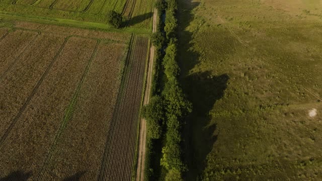
Fields and a tree-lined ditch near Bourtange at golden hour
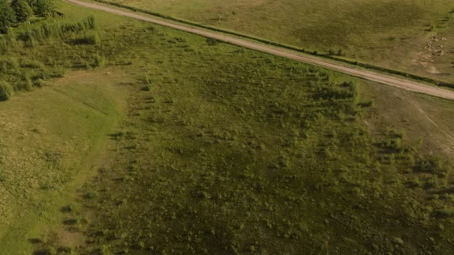
Meadows and a dirt road near Bourtange with wind turbines beyond
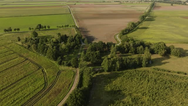
Fields, dirt tracks and tree lines near Bourtange in low sunlight
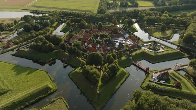
Bourtange star fort with bastions and moats at golden hour
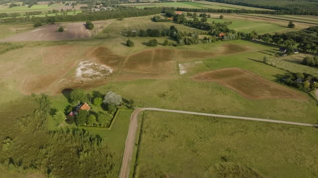
Open grassland and farmhouse near Bourtange in low evening light
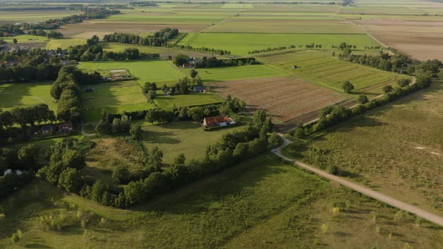
Meadows, fields and farmhouse near Bourtange in low sunlight
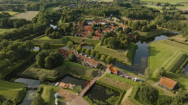
Flyover towards Bourtange fortress over moat and drawbridge
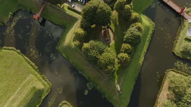
Top-down over a Bourtange bastion, rising over the fortress village
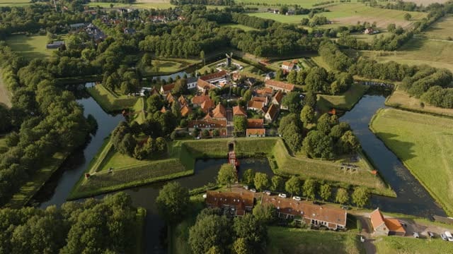
Pull-back over Bourtange fortress village and surrounding farmland
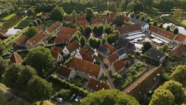
Pull-back over the streets of Bourtange fortress village
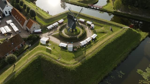
Windmill with market stalls on a bastion in Bourtange in low sun
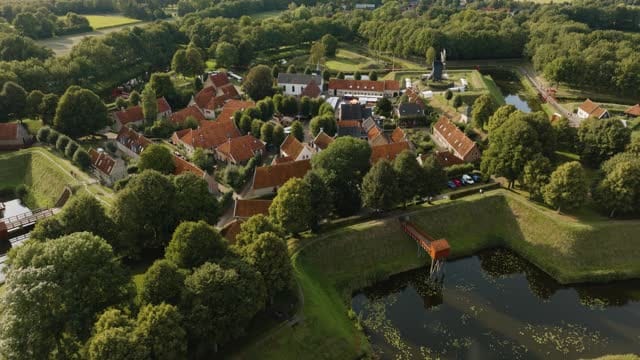
Orbit around the red roofs of Bourtange fortress village
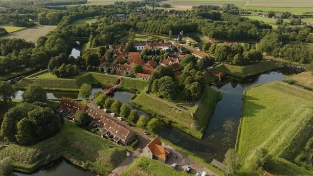
Orbit around the bastions and moats of Bourtange fortress
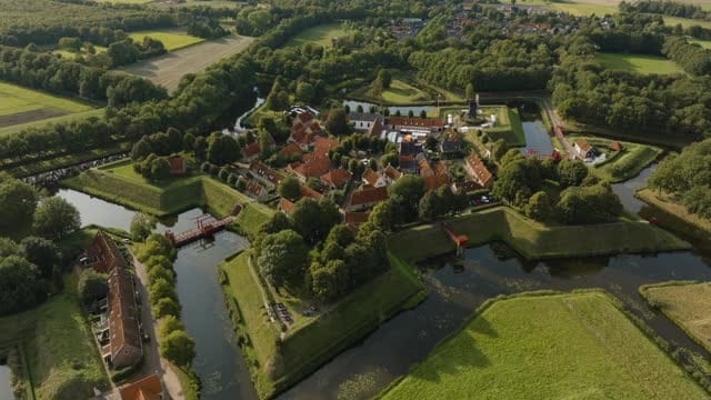
Bourtange fortified village with bastions and moats in evening light
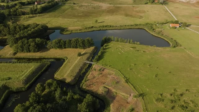
Moats and meadows by Bourtange fortress, tilting up to the horizon
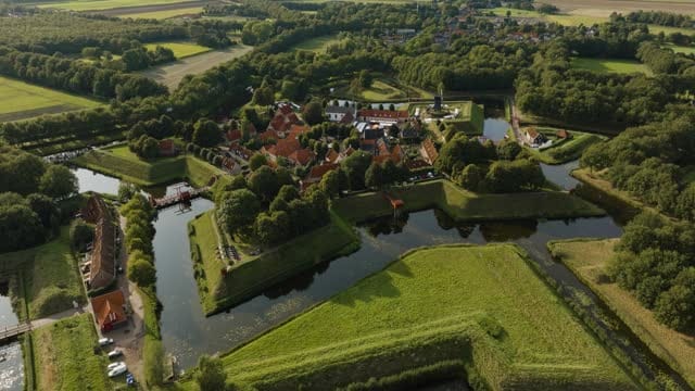
Orbit around Bourtange fortified village with windmill and moats
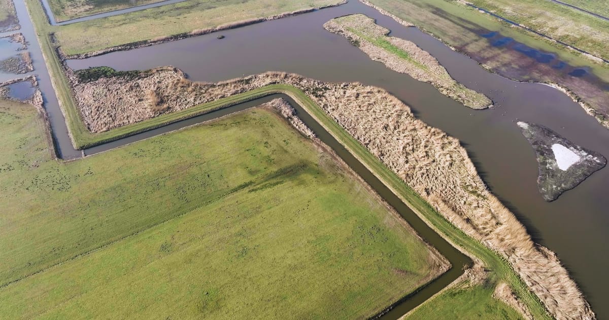
Flyover of water, reed beds and wet grasslands near Garrelsweer
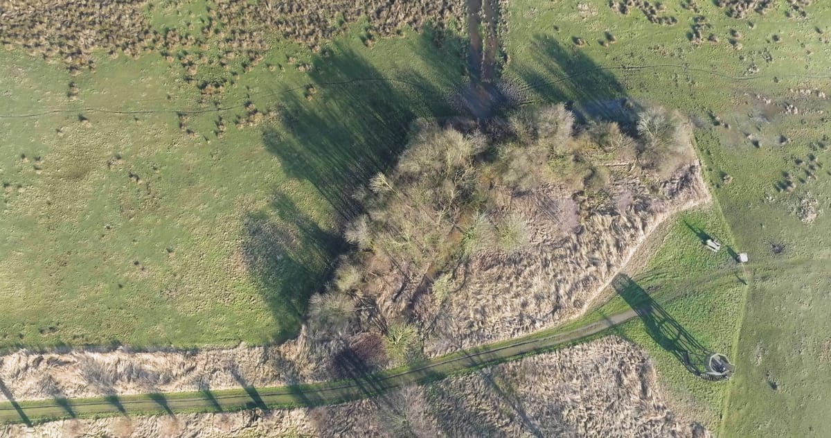
Top-down over grassland and reed marsh near Overschild in winter
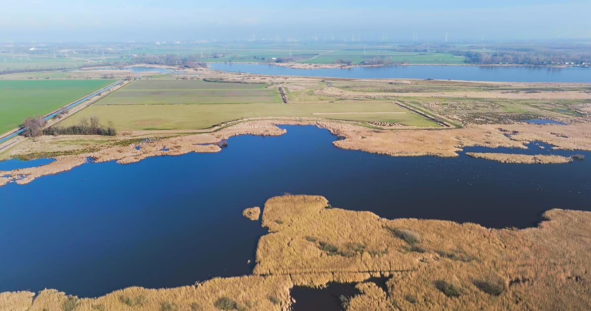
Sideways flight over reed marsh and open water near Overschild
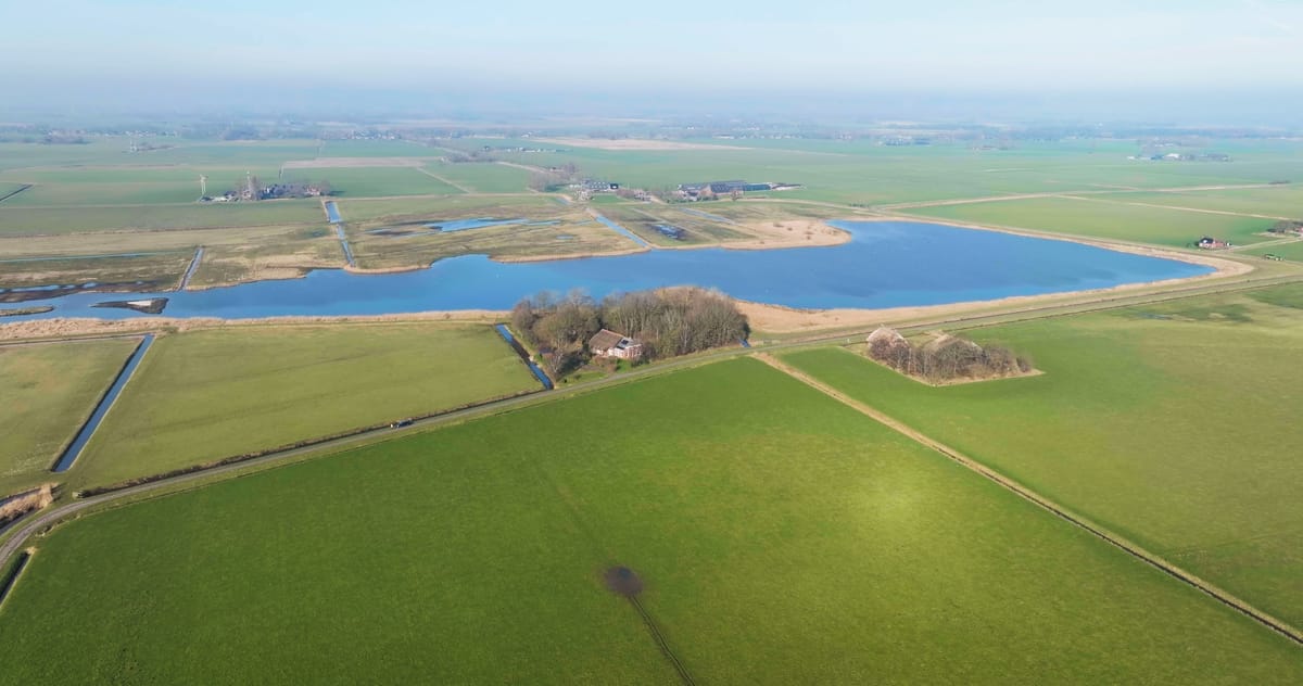
Descending view of the Hoeksmeer near Garrelsweer in winter
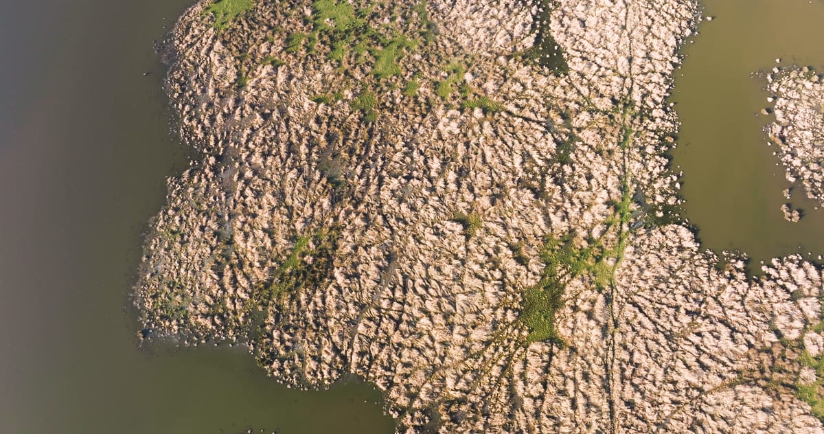
Top-down view over reed islands in a lake near Overschild
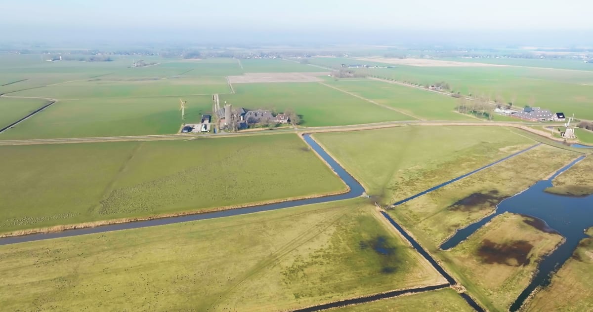
Hoeksmeer nature reserve with pools and meadows near Garrelsweer
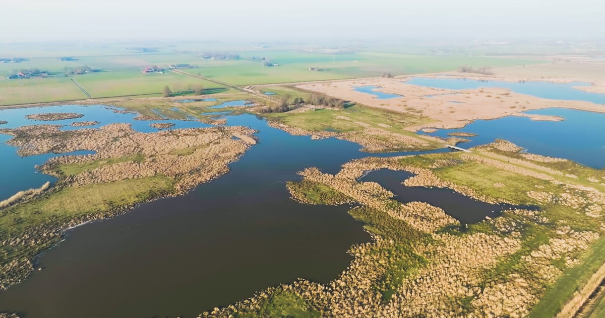
Pools and reed beds in a nature reserve near Overschild in spring
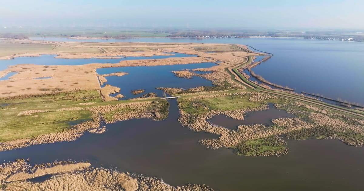
Flyover of Tetjehorn nature reserve near Overschild in winter
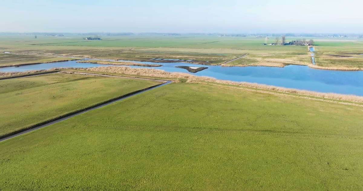
Rising view over the Hoeksmeer nature reserve near Garrelsweer
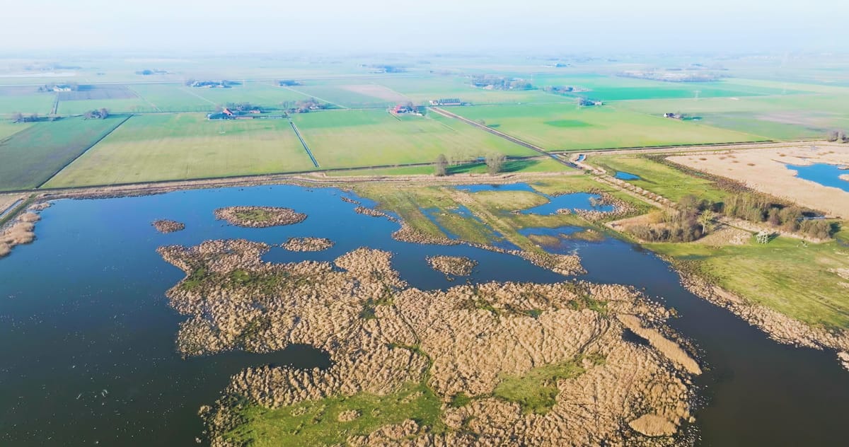
Orbit over the Tetjehorn nature reserve near Overschild
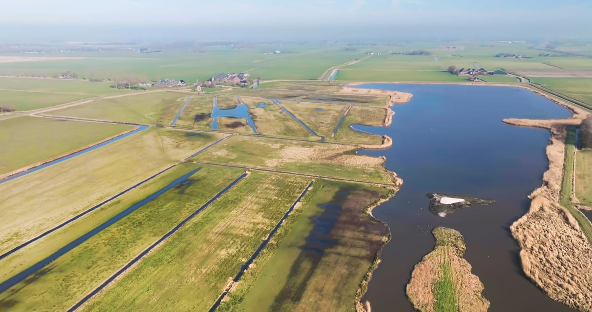
Hoeksmeer nature reserve with lake and wet meadows near Garrelsweer
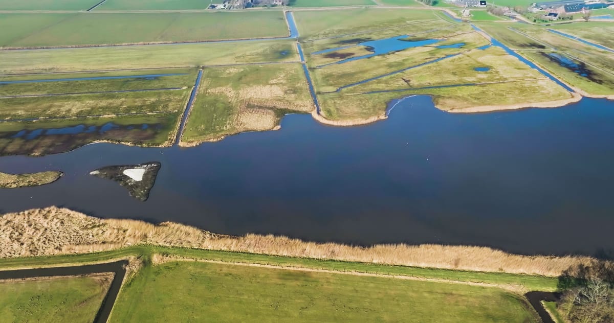
Sideways flight over lake and reed beds near Garrelsweer in winter
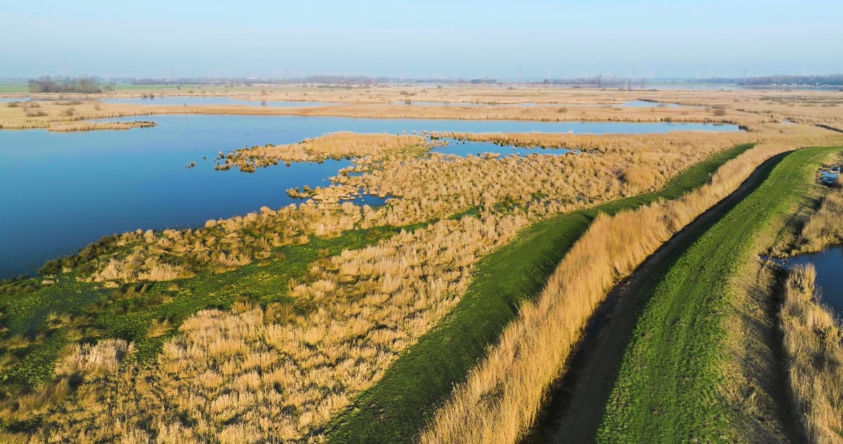
Rising view over lakes and reed marsh near Overschild, Groningen
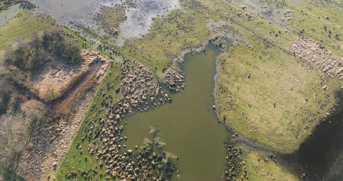
Top-down over pools and reed tussocks in a wetland near Overschild
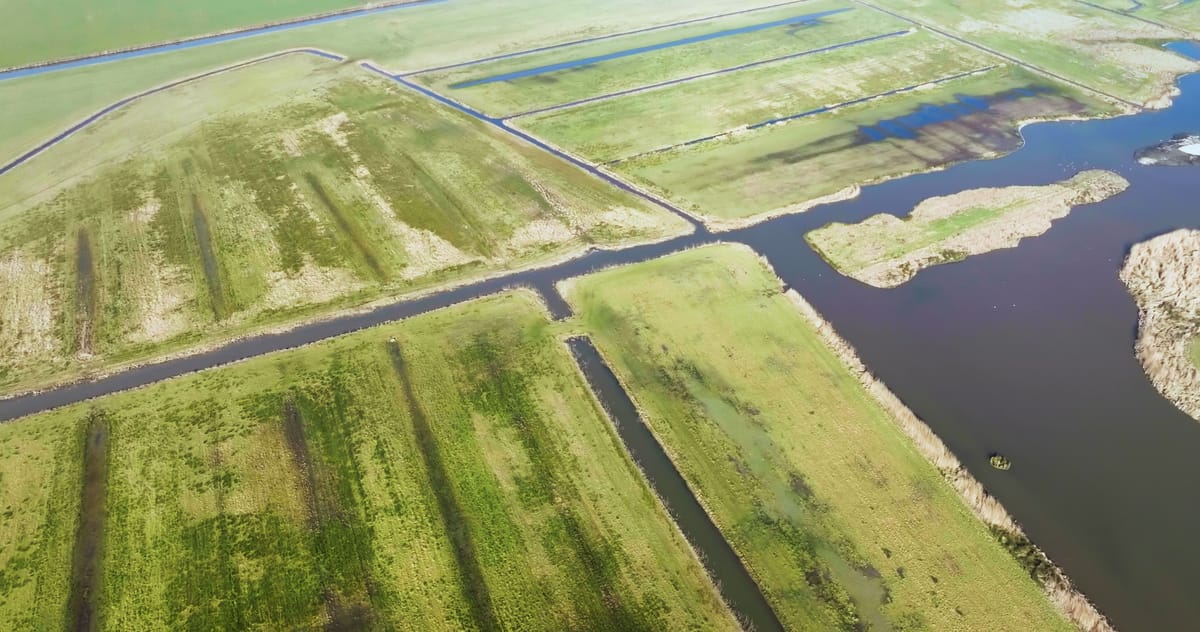
Flyover of wet grassland and lake near Garrelsweer, Groningen
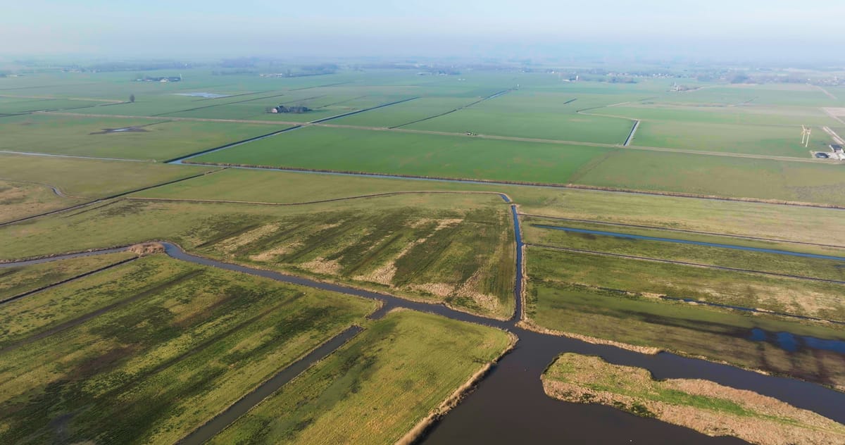
Orbit over a nature reserve and polder near Garrelsweer, Groningen
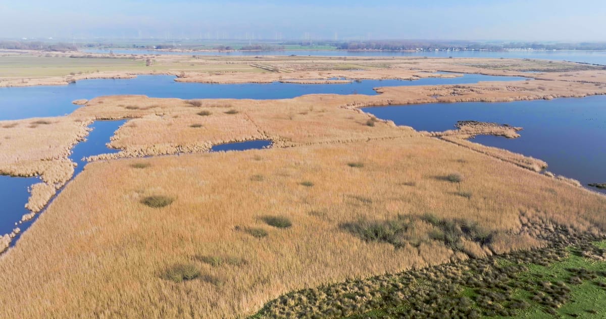
Rising over reed marsh near Overschild, Groningen
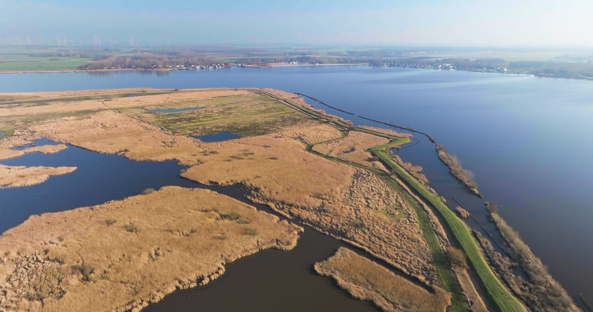
Orbit over reed beds and pools of the Tetjehorn by the Schildmeer
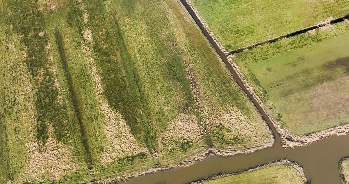
Top-down over marshy grassland and ditches near Garrelsweer, Groningen
About Groningen
Groningen is the northeasternmost province of the Netherlands, bordered by the Wadden Sea to the north and Germany to the east, with the city of Groningen as its capital. From the air it reads as a wide, flat landscape of arable fields, meadows, ditches and tree lines, broken up by windmills and the occasional wind farm on the horizon. Near Overschild, on the edge of the Schildmeer lake, the Tetjehorn nature reserve forms a patchwork of reed beds and shallow pools. Close to Garrelsweer, the Hoeksmeer reserve offers similar wetland scenery, where marshy grassland, drainage ditches and open water create strong graphic patterns in top-down shots.
In the southeast, right by the German border, lies the fortress village of Bourtange, a star-shaped stronghold of bastions, moats and red-roofed houses, with a windmill standing on one of its ramparts. Its geometry is clearly visible from above, set among fields and dirt tracks. The footage covers different seasons, from wintry wetlands to low sunlight raking across the fortress and surrounding farmland.
Whether you may fly a drone over Groningen depends on the exact spot and time. Always check the current rules on the official drone map.
Towns and locations in Groningen
Nearby
Themes in Groningen
Groningen: need something specific?
Can't find the shot you need? Our certified pilots will film it to order.
Book a custom drone shoot