Hagesteinsebrug drone footage
8 videos · location in Nieuwegein
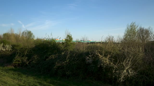
Rising reveal of the Hagesteinsebrug over the Lek near Nieuwegein
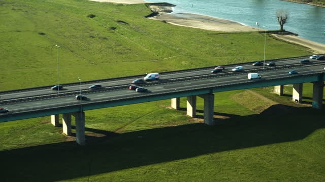
Traffic on the Hagesteinsebrug over the Lek near Nieuwegein
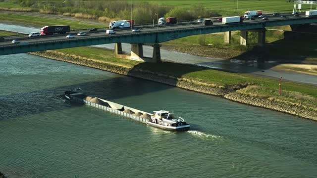
Sand barge heading for the Hagesteinsebrug on the Lek near Nieuwegein
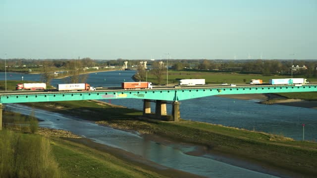
Tracking trucks on the Hagesteinsebrug over the Lek near Nieuwegein
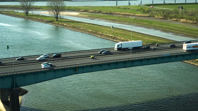
Busy traffic on the Hagesteinsebrug near Nieuwegein in low sunlight
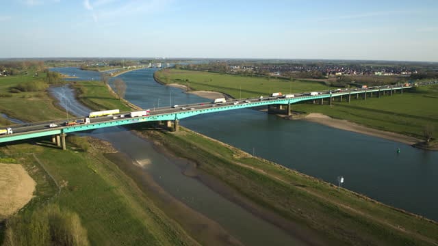
Wide view of the Hagesteinsebrug over the Lek near Nieuwegein
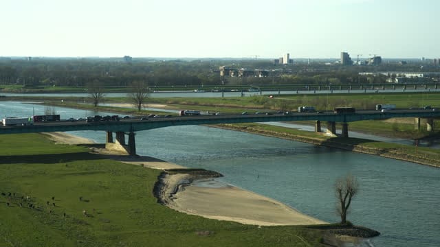
Hagesteinsebrug over the Lek with livestock grazing on the floodplain
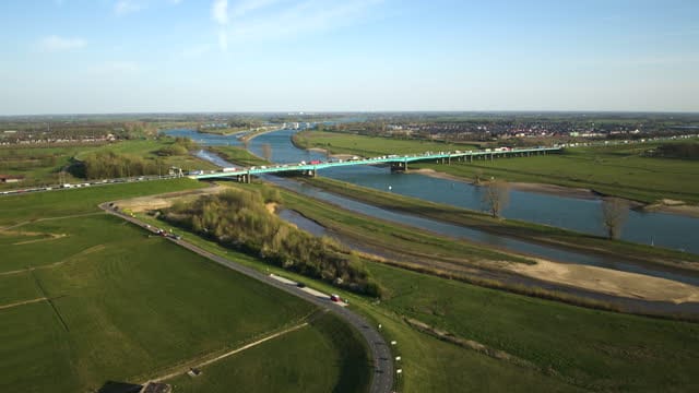
Hagestein Bridge over the Lek near Nieuwegein in afternoon sun
About Hagesteinsebrug
The Hagesteinsebrug, sometimes called the Hagestein Bridge, carries the A27 motorway across the Lek on the southern edge of Nieuwegein, linking the Utrecht area with Vianen on the opposite bank. It takes its name from the nearby village of Hagestein. From above, the bridge cuts a straight line of concrete and steel across the broad, curving river, framed by green floodplains, dikes and open pasture. Much of the footage focuses on traffic: lanes of cars and lorries crossing the deck, from steady flow to busy rush hour under low sunlight, with tracking shots that follow trucks across the river. The Lek itself plays a role too, with inland shipping such as a sand barge heading towards the bridge, while cattle graze on the floodplain just beside the motorway. That contrast between heavy infrastructure and the quiet river landscape runs through the wide establishing shots, rising reveals and afternoon-light views of this crossing.
Whether you may fly a drone over Hagesteinsebrug depends on the exact spot and time. Always check the current rules on the official drone map.
Nearby
Themes in Hagesteinsebrug
Hagesteinsebrug: need something specific?
Can't find the shot you need? Our certified pilots will film it to order.
Book a custom drone shoot