Everdingen drone footage
15 videos · town in Utrecht
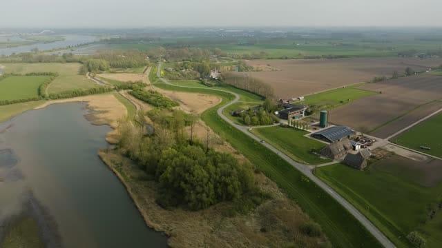
Flight along a winding dike road and floodplain near Everdingen
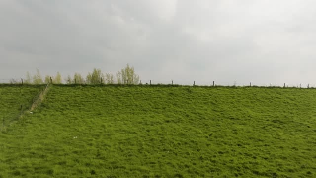
Reveal over the dike towards the river near Everdingen, grey sky
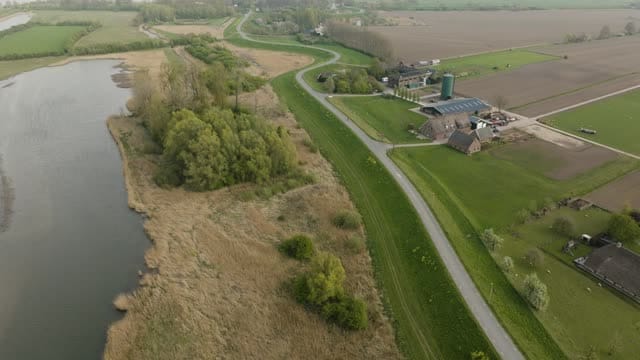
Dike road past a floodplain and farmyard near Everdingen
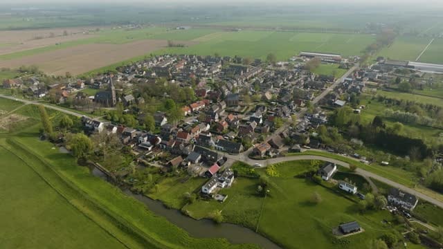
Orbit around the village of Everdingen with church tower and dike
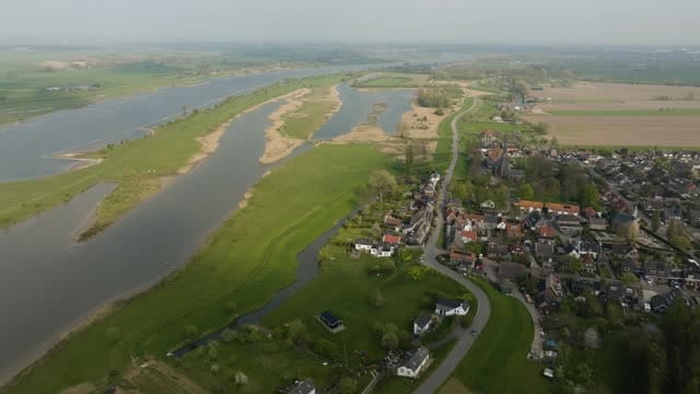
Everdingen beside the river with side channels and floodplains
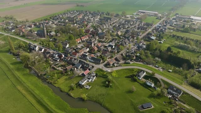
Everdingen with church tower and stream in spring sunshine
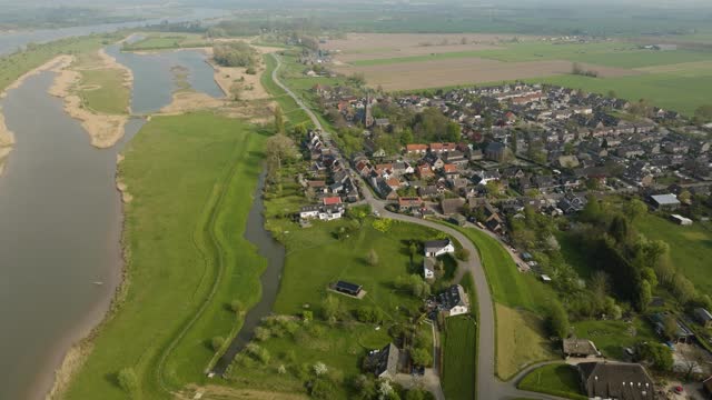
Everdingen on the Lek dike with the river floodplains
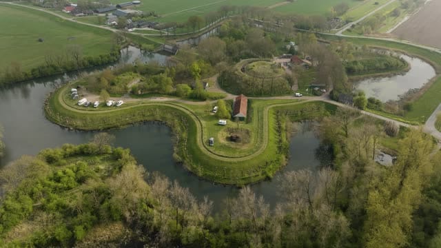
Orbit around Fort Everdingen and its moat in spring
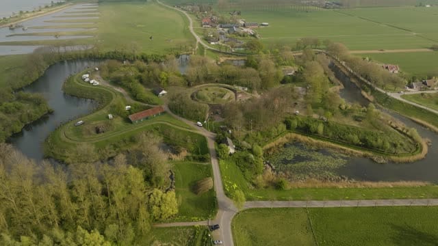
Fort Everdingen with its moats and the Lek in the background
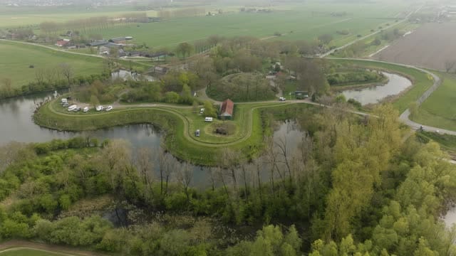
Fort Everdingen and its moat on an overcast spring day
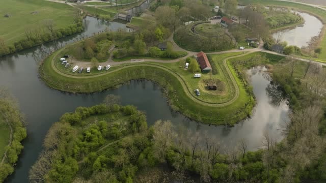
Curved fort island of Fort Everdingen with parked campers
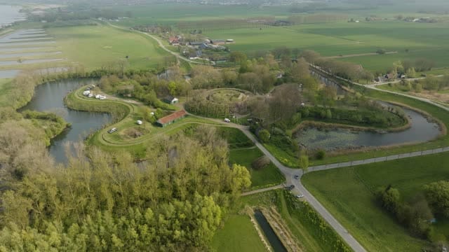
Fort Everdingen between poplars and polder land
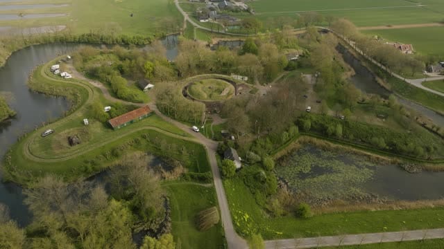
Pull-back over Fort Everdingen and its moats
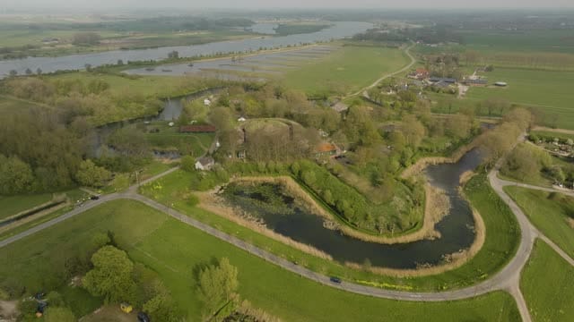
Fort Everdingen with the Lek stretching to a hazy horizon
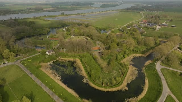
Fort Everdingen with its moat and the Lek river behind
About Everdingen
Everdingen is a village in the province of Utrecht, on the south bank of the Lek river. Once a municipality in its own right, it now belongs to Vijfheerenlanden. From the air, its setting along the Lek dike stands out: a winding dike road with the village and its church tower on one side and the river floodplains, side channels and the wide Lek on the other. Farmyards, meadows and polder land lined with poplars make up the surrounding countryside.
Right by the river lies Fort Everdingen, part of the New Dutch Waterline, the historic water defence line. Seen from above, the curved fort island and its moats form a clear shape against the river behind it, with campers occasionally parked on the grounds. The footage ranges from overcast spring days under grey skies to hazy views along the Lek, suited to stories about military heritage, water management, dikes and the Dutch river landscape.
Whether you may fly a drone over Everdingen depends on the exact spot and time. Always check the current rules on the official drone map.
Towns and locations in Everdingen
Nearby
Themes in Everdingen
Everdingen: need something specific?
Can't find the shot you need? Our certified pilots will film it to order.
Book a custom drone shoot