Schalkwijk drone footage
19 videos · town in Utrecht
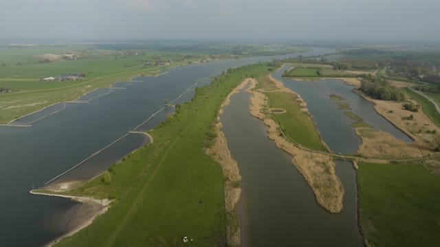
Side channels and groynes along the Lek near Schalkwijk
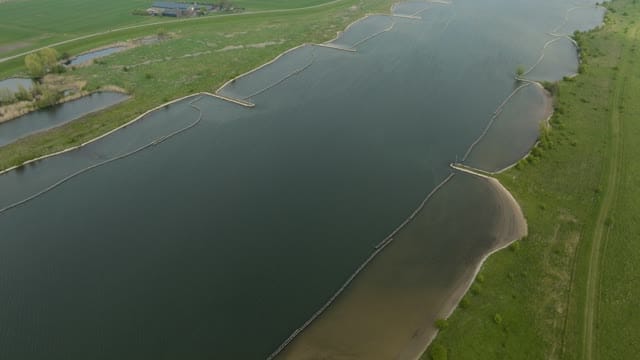
Longitudinal dams and sandy banks in the Lek near Schalkwijk
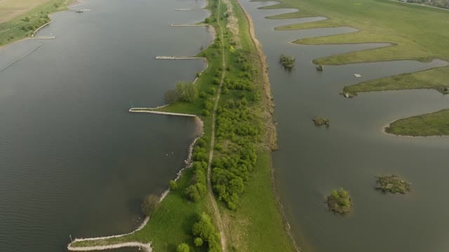
Groynes and side channel along the Lek near Schalkwijk
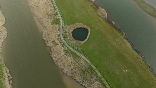
Round pond between side channels in the Lek floodplains
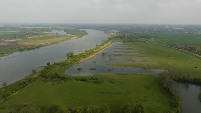
Flyover of side channels and islets along the Lek near Schalkwijk
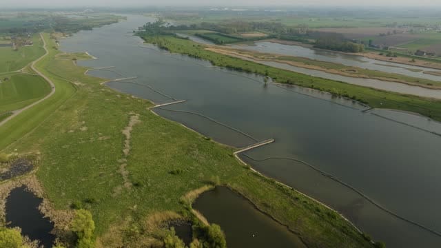
The Lek with longitudinal dams and floodplains near Schalkwijk
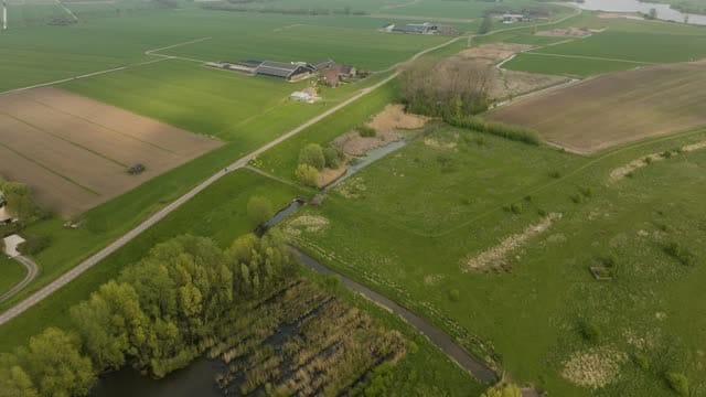
Farm and fields behind the dike near Schalkwijk
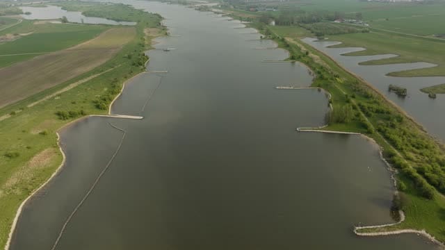
Flyover of the Lek with groynes near Schalkwijk
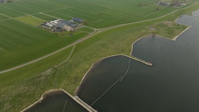
Farm on the dike along the Lek near Schalkwijk
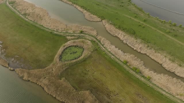
Reed-lined creeks and footpath in a wetland near Schalkwijk
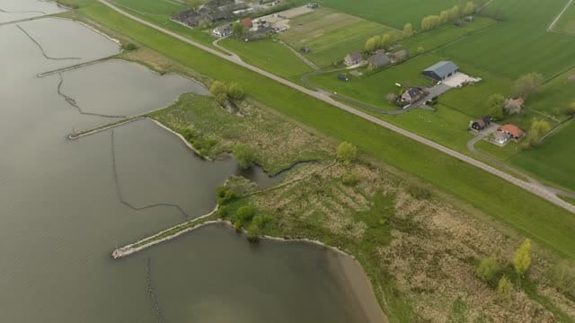
River dike with groynes and farmhouses near Schalkwijk
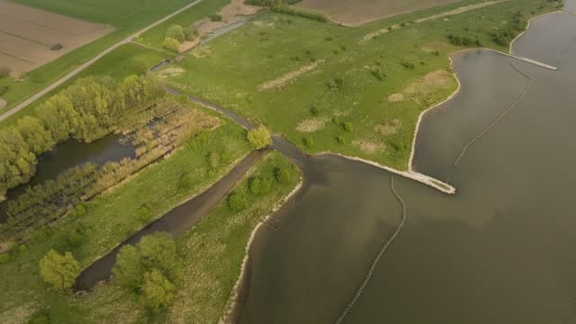
Floodplain with side channel and groynes near Schalkwijk
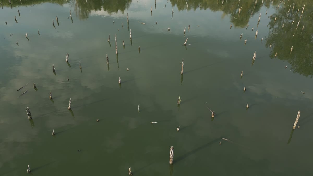
Dead tree stumps in the water of Het Verdronken Bos near Schalkwijk
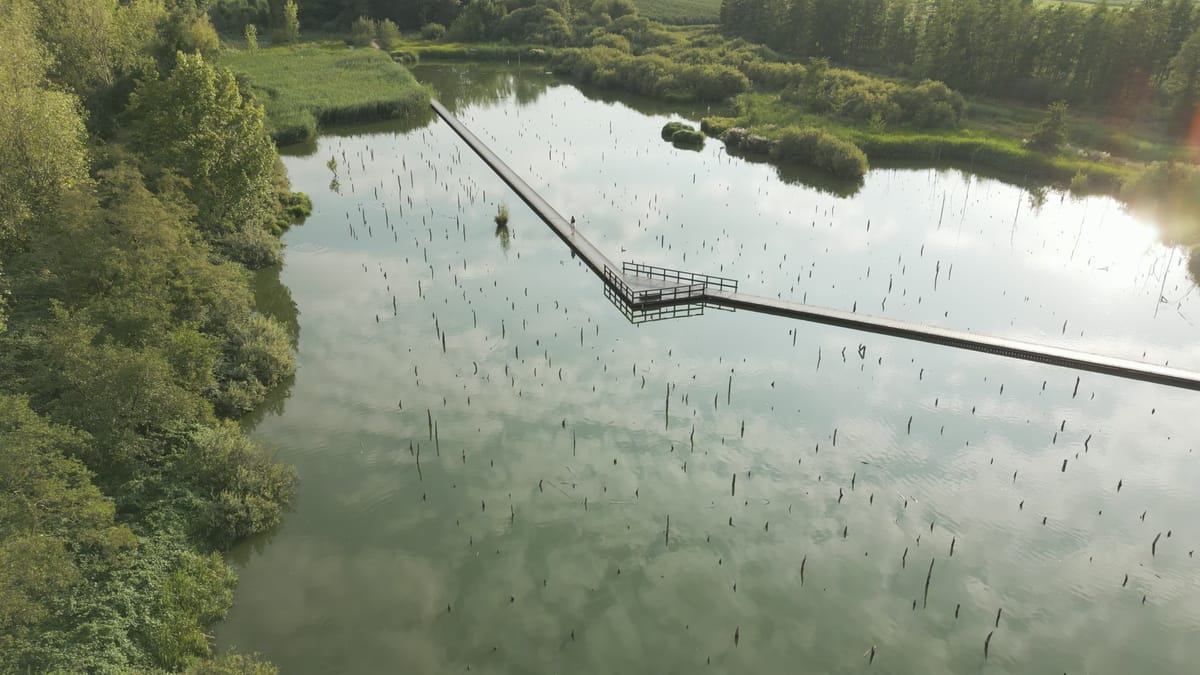
Descent to boardwalk through Het Verdronken Bos near Schalkwijk
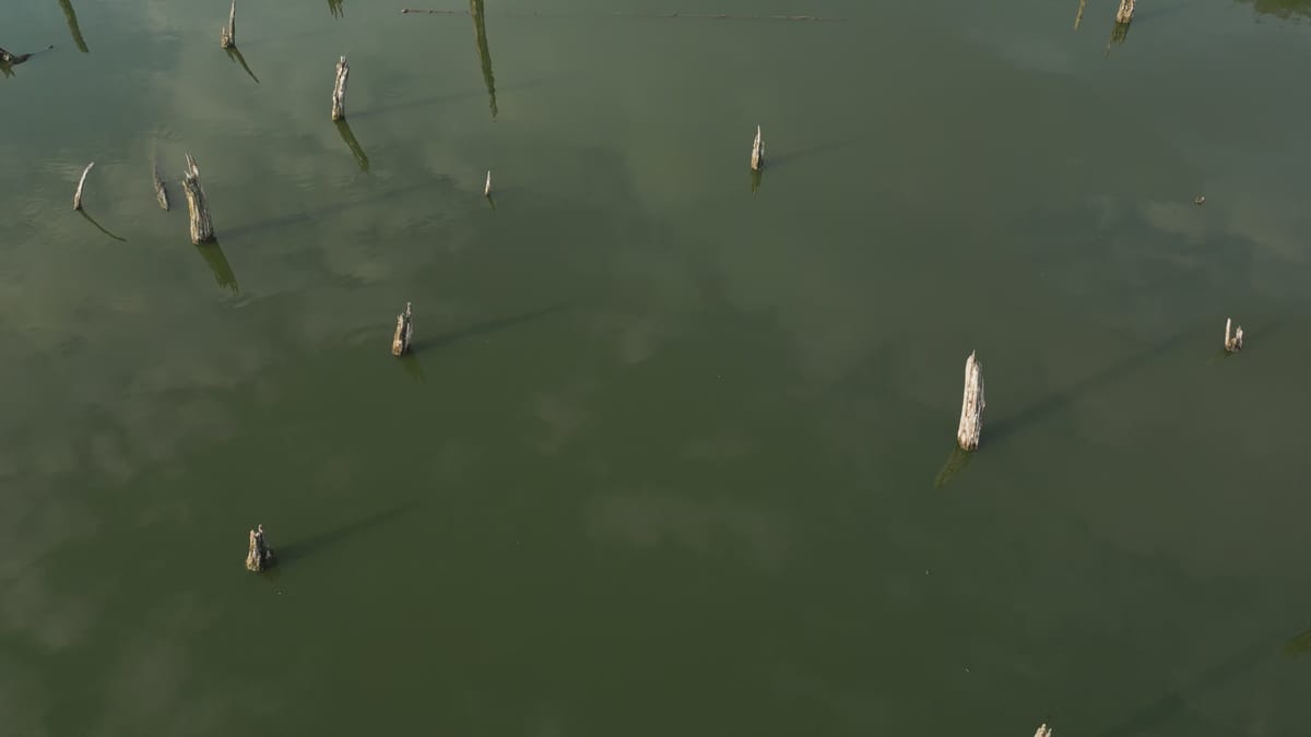
Reveal over dead tree stumps in the water near Schalkwijk
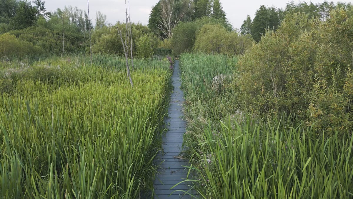
Low flight along a boardwalk through reeds near Schalkwijk
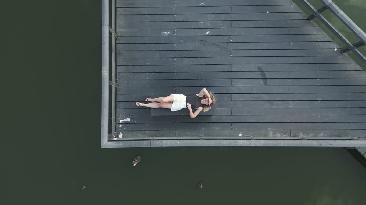
Top-down rise above a woman on a jetty in Het Verdronken Bos
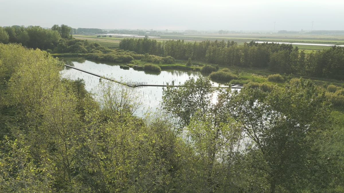
Reveal over the boardwalk of Het Verdronken Bos near Schalkwijk
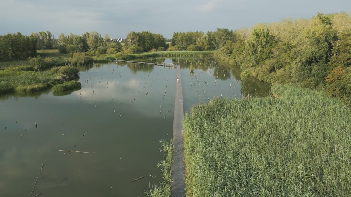
Woman on a boardwalk through Het Verdronken Bos near Schalkwijk
About Schalkwijk
Schalkwijk is a village in the municipality of Houten, in the Dutch province of Utrecht, on the north bank of the River Lek. From the air the river sets the tone. The broad Lek runs along the dike, its groynes and longitudinal dams cutting regular lines into the current. Out in the floodplains, side channels, small islets and round ponds sit between grassland and reed beds, creating a patchwork of water and land that reads especially well in top-down shots. A notable feature nearby is Het Verdronken Bos, a 'drowned forest' where dead tree stumps rise from shallow water and a wooden boardwalk winds through the marsh. Seen from above, the trunks and the walkway make strong graphic compositions, while reed-lined creeks and footpaths add a quiet wetland atmosphere. Behind the river dike the scenery turns agricultural, with farmhouses and fields spread across open polder land. Together these elements show a stretch of river where engineered waterworks, restored wetland and farmland meet within a short distance.
Whether you may fly a drone over Schalkwijk depends on the exact spot and time. Always check the current rules on the official drone map.
Towns and locations in Schalkwijk
Nearby
Themes in Schalkwijk
Schalkwijk: need something specific?
Can't find the shot you need? Our certified pilots will film it to order.
Book a custom drone shoot