Lek drone footage
12 videos · location
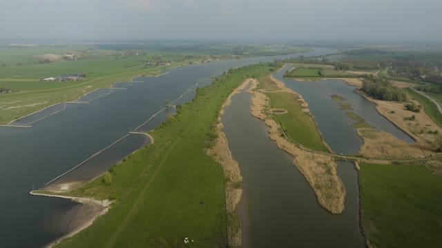
Side channels and groynes along the Lek near Schalkwijk
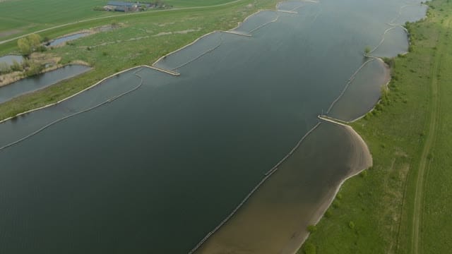
Longitudinal dams and sandy banks in the Lek near Schalkwijk
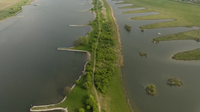
Groynes and side channel along the Lek near Schalkwijk
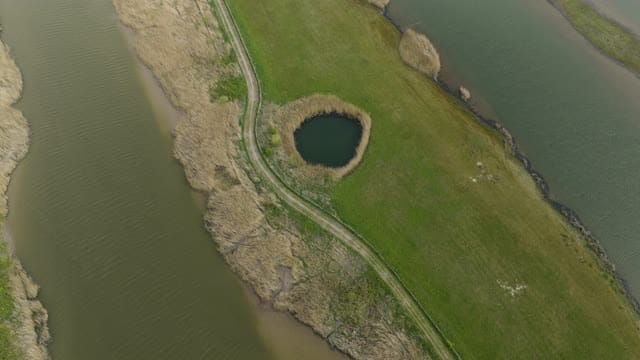
Round pond between side channels in the Lek floodplains
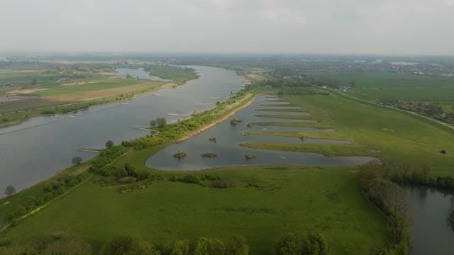
Flyover of side channels and islets along the Lek near Schalkwijk
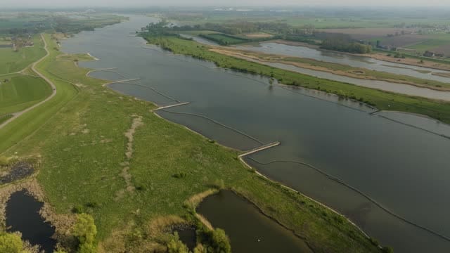
The Lek with longitudinal dams and floodplains near Schalkwijk
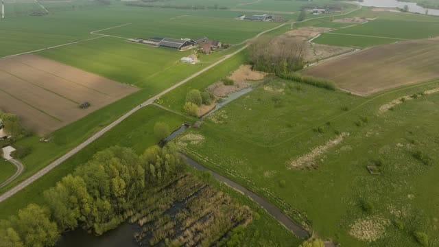
Farm and fields behind the dike near Schalkwijk
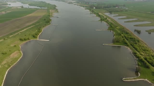
Flyover of the Lek with groynes near Schalkwijk
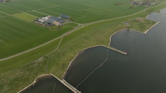
Farm on the dike along the Lek near Schalkwijk
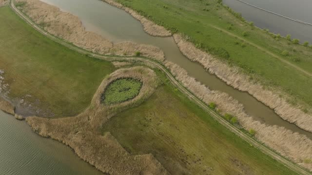
Reed-lined creeks and footpath in a wetland near Schalkwijk
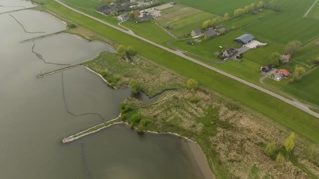
River dike with groynes and farmhouses near Schalkwijk
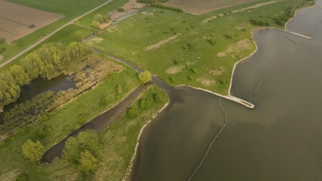
Floodplain with side channel and groynes near Schalkwijk
About Lek
The Lek is one of the branches of the Rhine in the central Netherlands. Near Wijk bij Duurstede the Lower Rhine continues as the Lek, which flows west until it meets the Noord at Kinderdijk. The footage here was filmed near Schalkwijk, a village on the north bank in the province of Utrecht. From above, the river shows a regular pattern of groynes reaching into the current, alongside longitudinal dams and sandy banks. Beyond the main channel lie floodplains threaded with side channels, small islets, a round pond and reed-lined creeks crossed by a footpath.
The river dike draws a clear line between this shifting floodplain and the orderly farmland behind it. Farmhouses sit on and along the embankment, with fields and meadows stretching inland. The sequence from open water through wetland to cultivated land suits stories about river management, flood protection, nature restoration and the character of the Dutch river landscape.
Whether you may fly a drone over Lek depends on the exact spot and time. Always check the current rules on the official drone map.
Nearby
Themes in Lek
Lek: need something specific?
Can't find the shot you need? Our certified pilots will film it to order.
Book a custom drone shoot