Fort Everdingen drone footage
8 videos · location in Everdingen
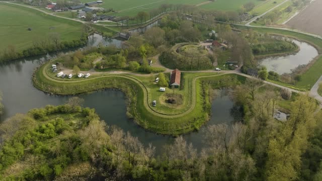
Orbit around Fort Everdingen and its moat in spring
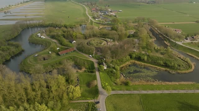
Fort Everdingen with its moats and the Lek in the background
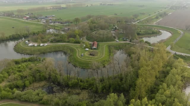
Fort Everdingen and its moat on an overcast spring day
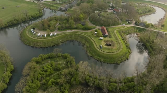
Curved fort island of Fort Everdingen with parked campers
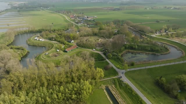
Fort Everdingen between poplars and polder land
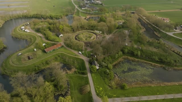
Pull-back over Fort Everdingen and its moats
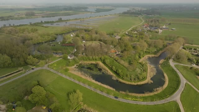
Fort Everdingen with the Lek stretching to a hazy horizon
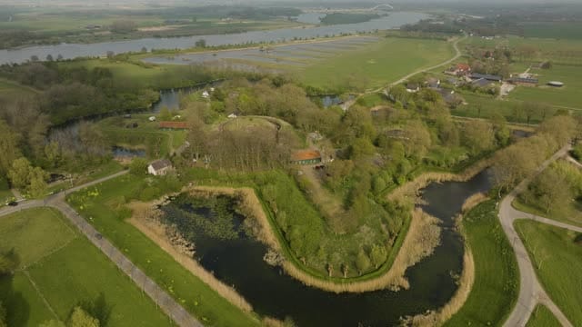
Fort Everdingen with its moat and the Lek river behind
About Fort Everdingen
Fort Everdingen stands on the south bank of the River Lek beside the village of Everdingen and forms part of the New Dutch Waterline, the historic defence line now included in the Dutch Water Defence Lines World Heritage site. The fort guarded the passage along the river and its dyke, in an area designed to be deliberately flooded in times of war. From above, the curved shape of the fort island stands out clearly, ringed by moats that set it apart from the surrounding grassland. Campervans parked on the island point to its present-day recreational use. Behind the fort the Lek winds away, fading into a hazy horizon on misty days, while rows of poplars and open polder land with straight ditches frame the site. The footage shows the fort in spring and under overcast skies, with orbits around the complex and pull-back shots that bring the moats, the river and the polder together in a single frame.
Whether you may fly a drone over Fort Everdingen depends on the exact spot and time. Always check the current rules on the official drone map.
Nearby
Themes in Fort Everdingen
Fort Everdingen: need something specific?
Can't find the shot you need? Our certified pilots will film it to order.
Book a custom drone shoot