Werkhoven drone footage
52 videos · town in Utrecht · page 2 of 2
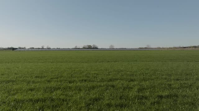
Rising reveal of the Werkhoven solar park from the meadow
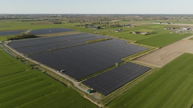
Overview of the Werkhoven solar park in flat farmland
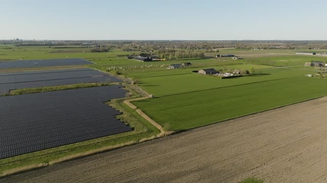
Werkhoven solar park beside meadows and a farmstead
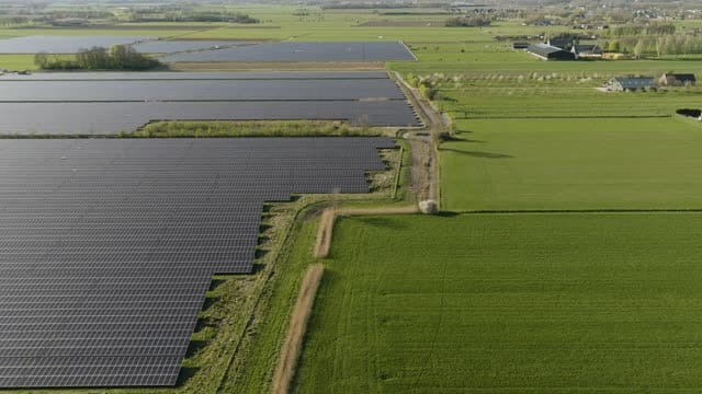
Edge of the Werkhoven solar park bordering a green meadow
About Werkhoven
Werkhoven is a farming village in the province of Utrecht, part of the municipality of Bunnik, in the Kromme Rijn area southeast of the city of Utrecht. From the air the surroundings read as an open patchwork of meadows, ploughed fields and scattered farmsteads, broken up by belts of deciduous woodland and hedgerows. Low sun picks out the edges of woods and field boundaries in long shadows. A solar park set among the pastures adds a geometric contrast to the rural layout, its panels catching the light at the start and end of the day. The village centres on its church and tower, ringed by residential streets, new-build homes with rooftop solar panels, a housing development site and allotment gardens on the outskirts. Nearby stands Beverweerd Castle, surrounded by trees and water. Footage covers several seasons, spring in particular, and suits stories about agriculture, the energy transition and village life in the Dutch countryside.
Whether you may fly a drone over Werkhoven depends on the exact spot and time. Always check the current rules on the official drone map.
Towns and locations in Werkhoven
Nearby
Themes in Werkhoven
Werkhoven: need something specific?
Can't find the shot you need? Our certified pilots will film it to order.
Book a custom drone shoot