Utrecht drone footage
918 videos · province · page 16 of 20
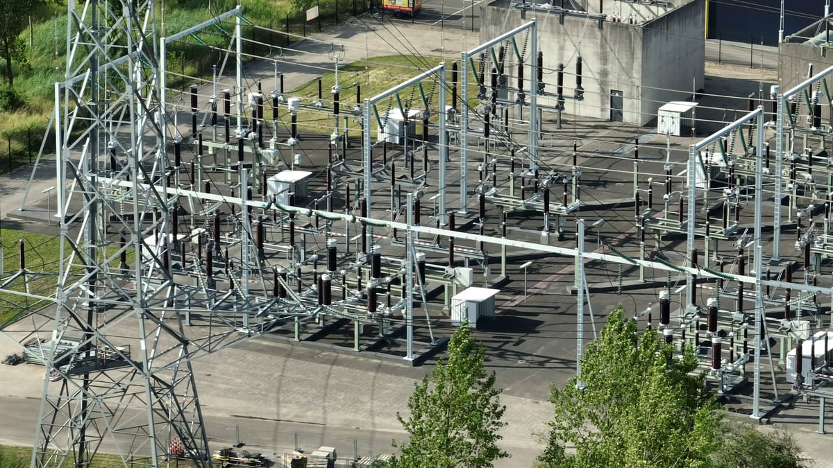
High-voltage substation in Nieuwegein with switchgear and pylon

Crossing sandy paths over frosted heathland near Amerongen
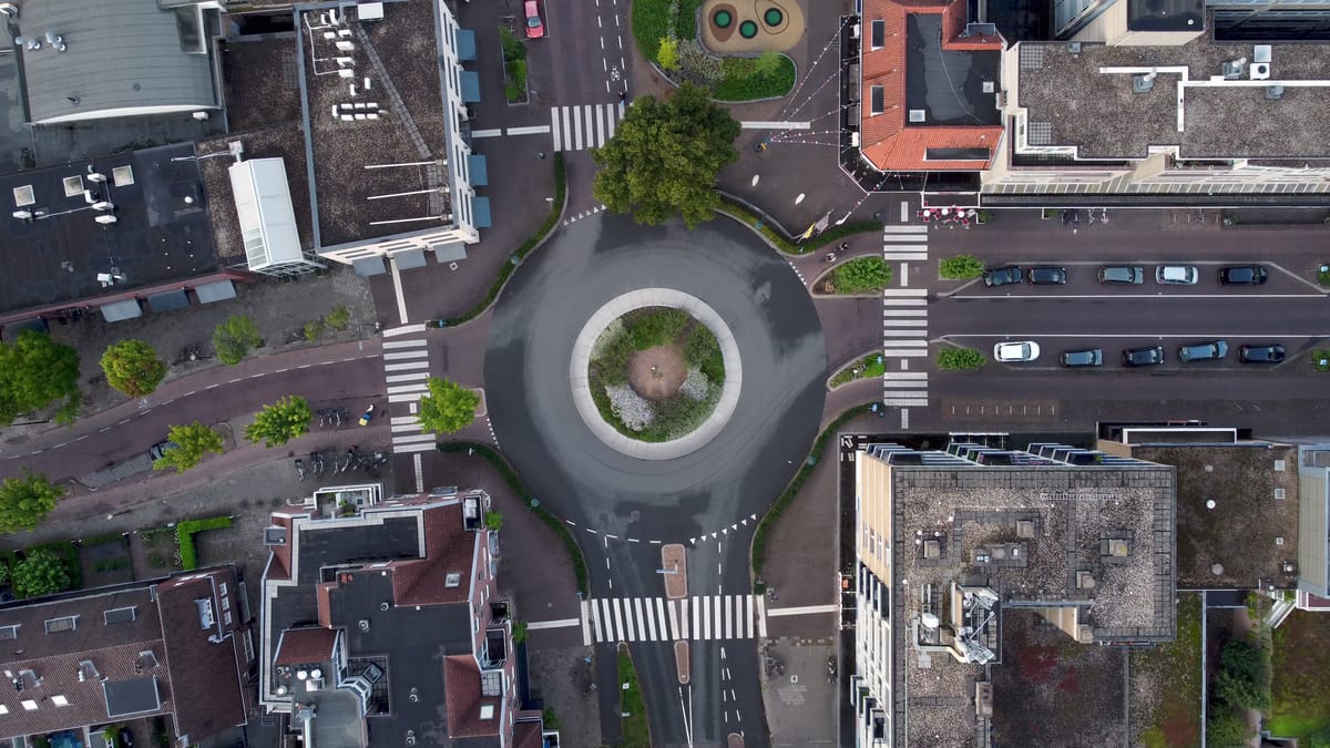
Top-down view over a roundabout in central Zeist
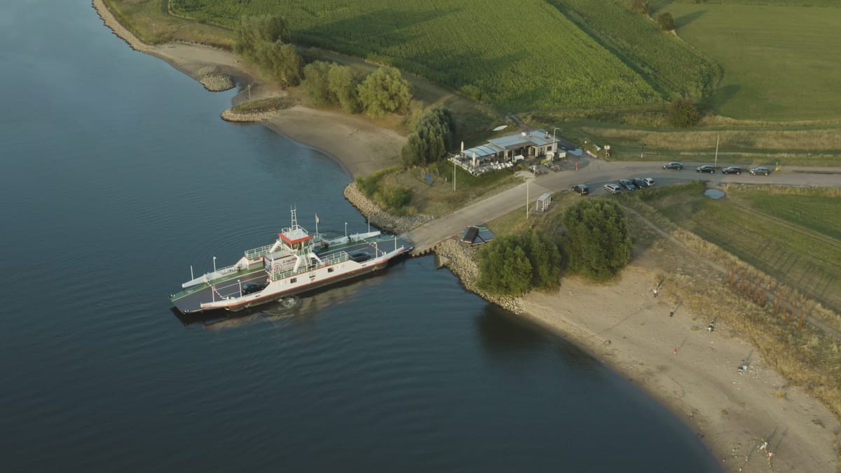
Car ferry at its landing during low water in Wijk bij Duurstede
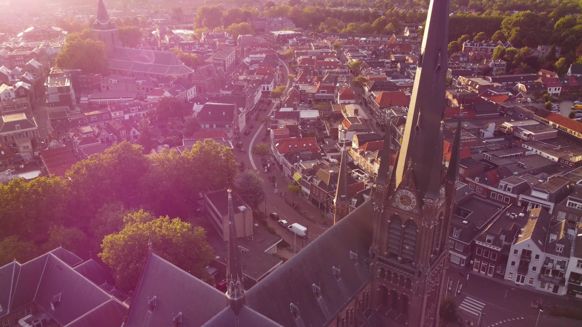
Church tower and town centre of Woerden at golden hour
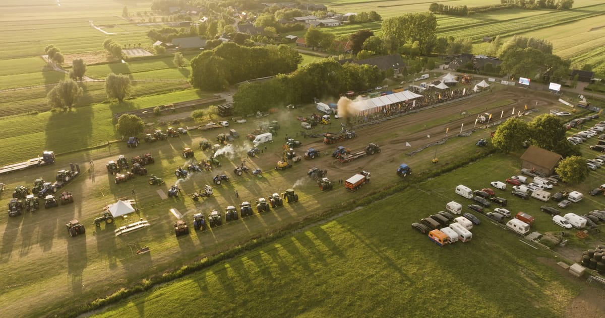
Tractor pulling contest with spectators in countryside near Utrecht
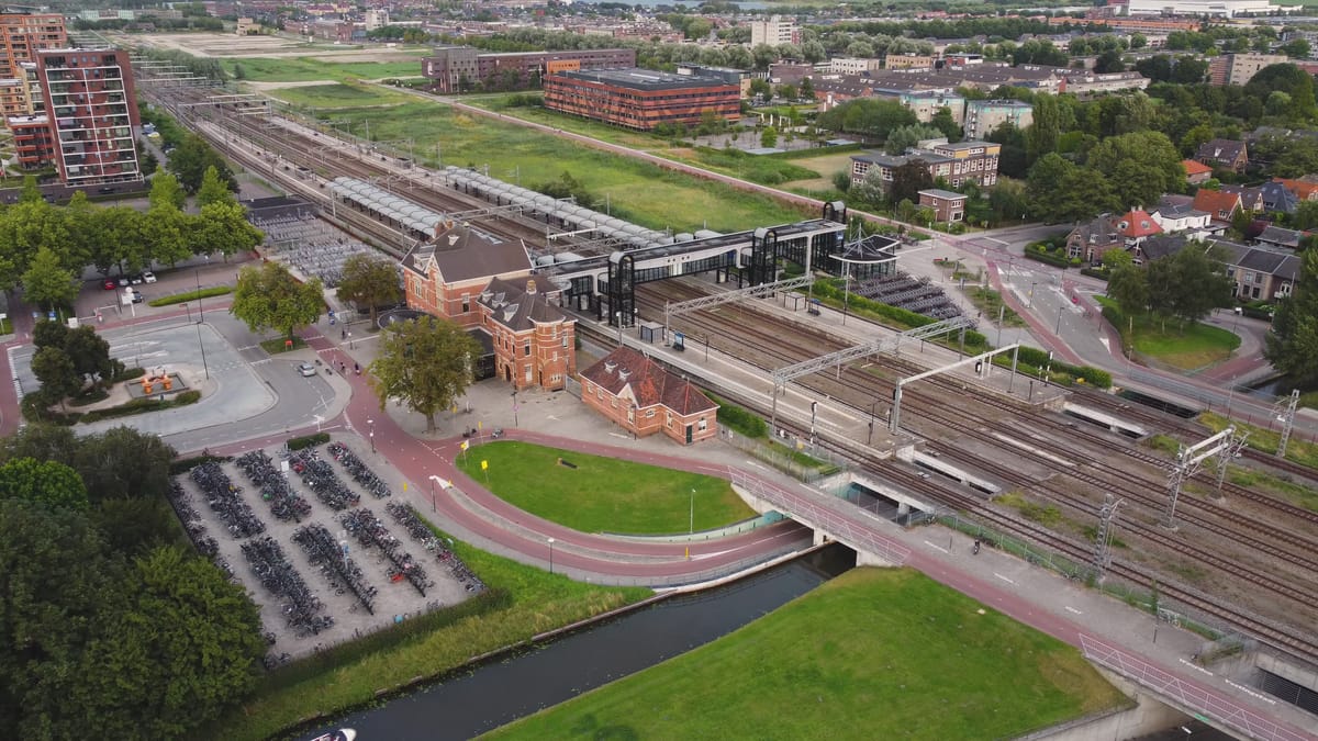
Pull-back over Woerden station and its historic station building
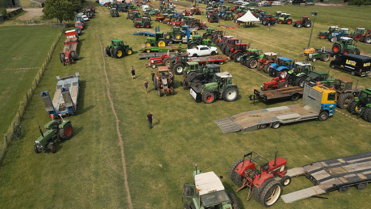
Tractor pulling event on a meadow in the province of Utrecht
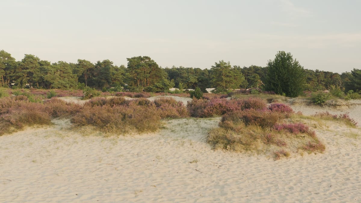
Low flight over blooming heather and drift sand near Soest
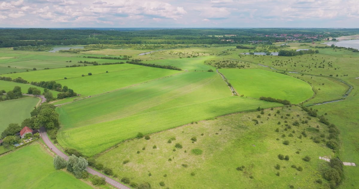
Meadows and floodplains along the Nederrijn near Wijk bij Duurstede
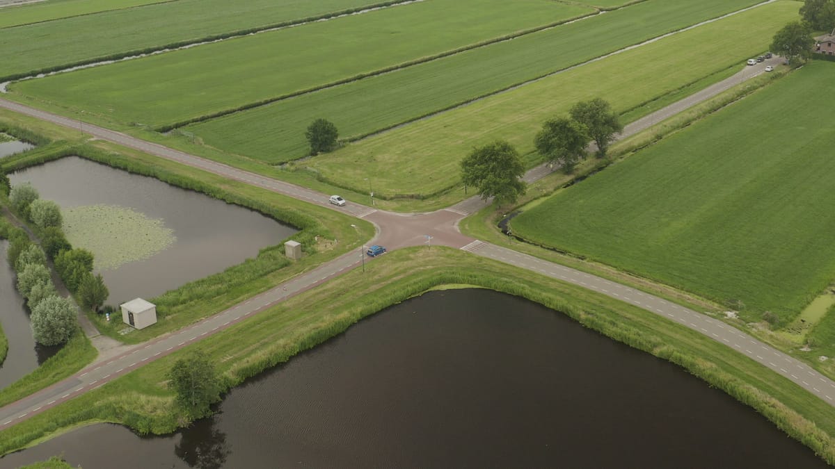
Crossroads between meadows and ponds near Nieuwer Ter Aa
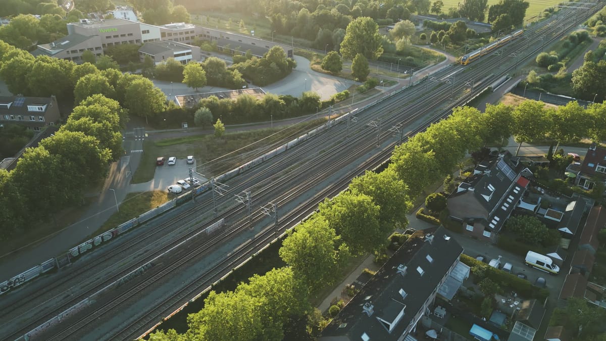
Double-decker train passing homes in Houten at golden hour
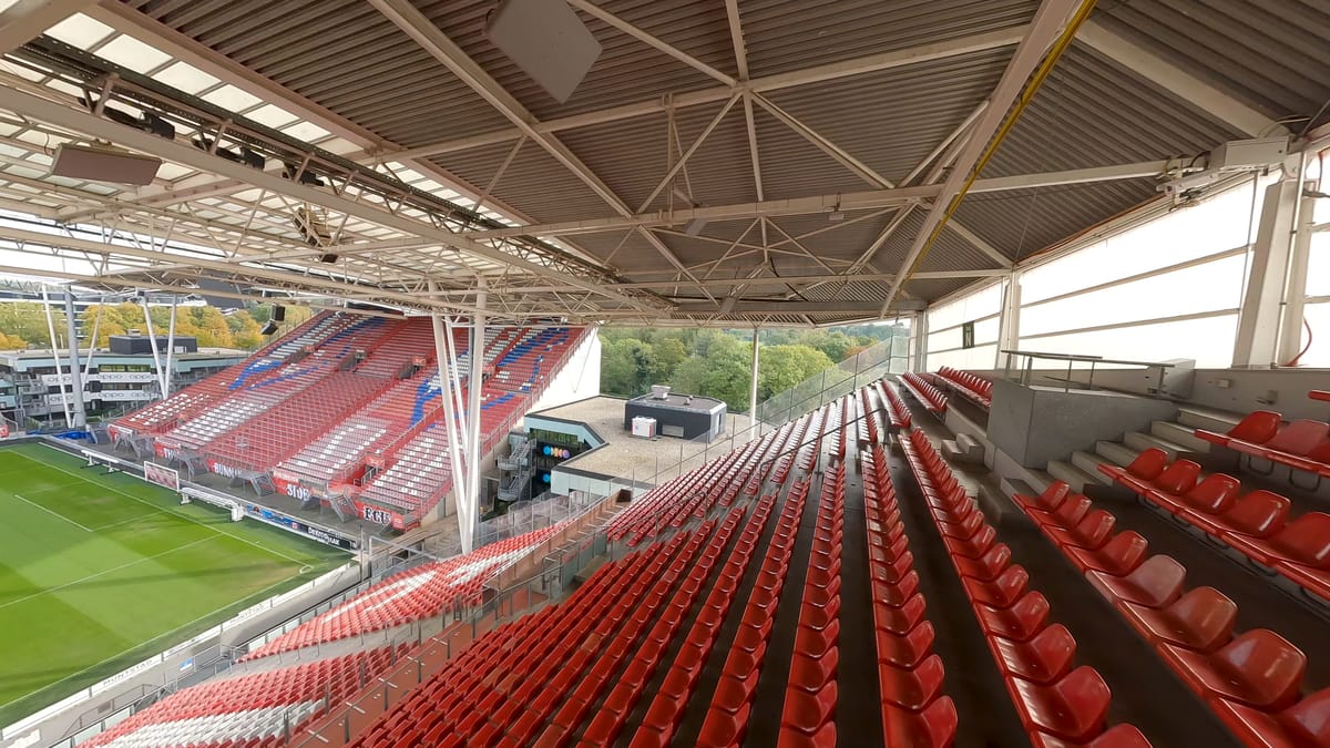
FPV flight through the empty Stadion Galgenwaard in Utrecht
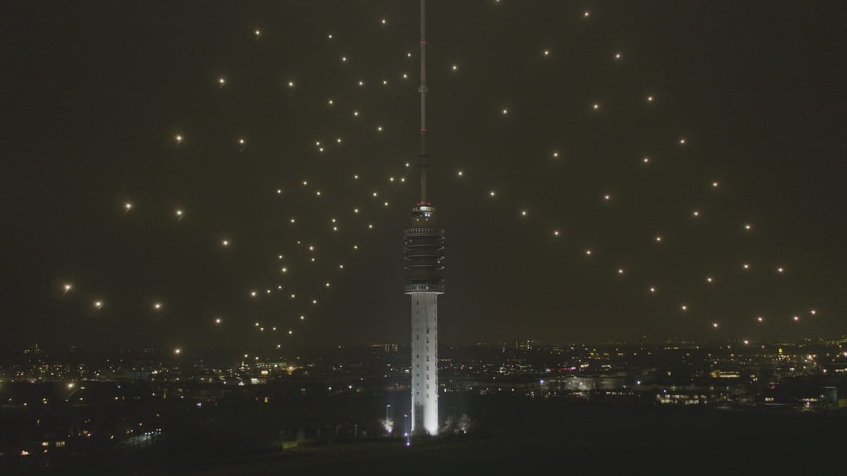
Illuminated Gerbrandytoren near IJsselstein at night
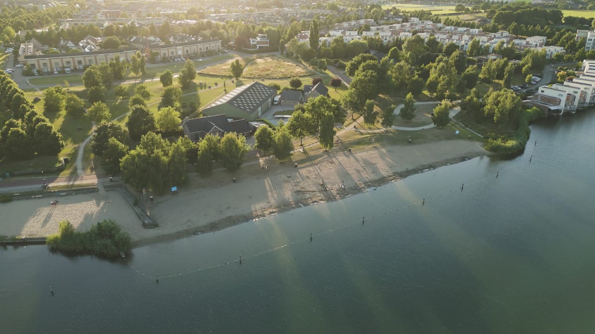
Swimming beach on a lake in Houten during golden hour
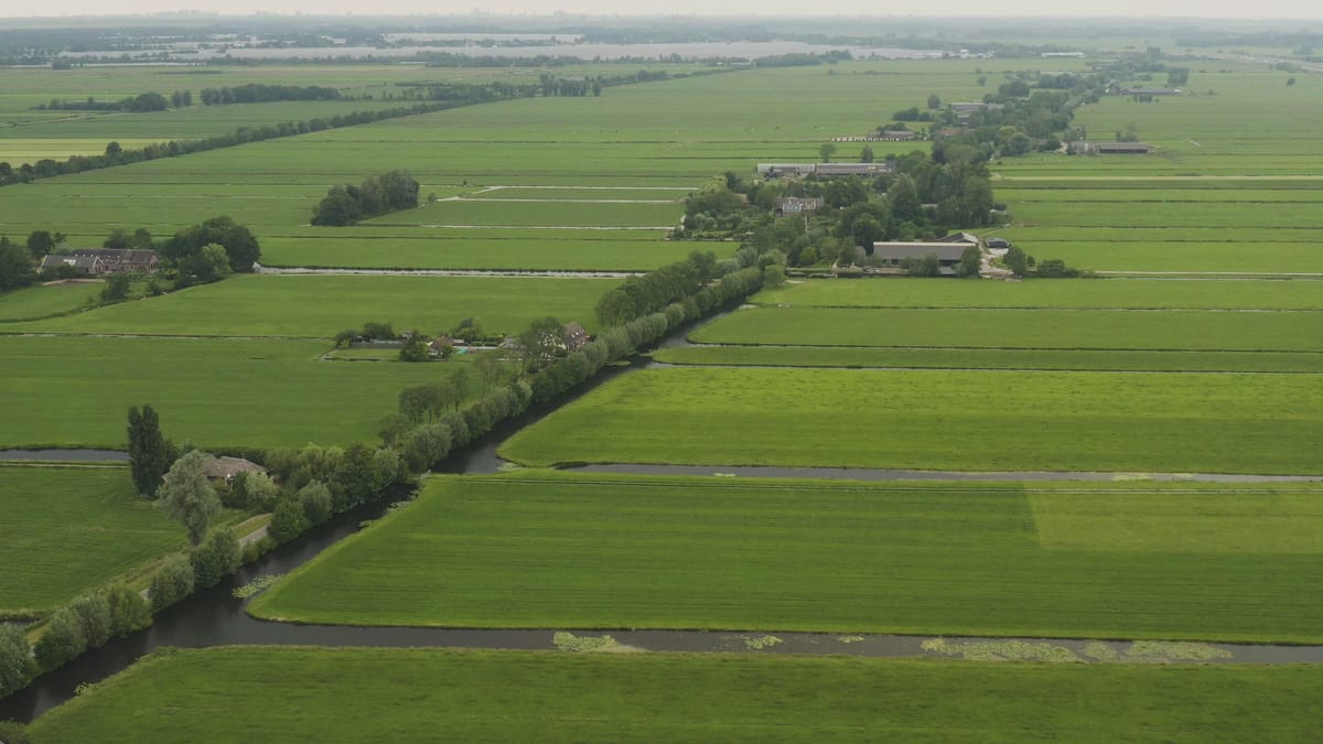
Green polder meadows with ditches and farms near Nieuwer Ter Aa
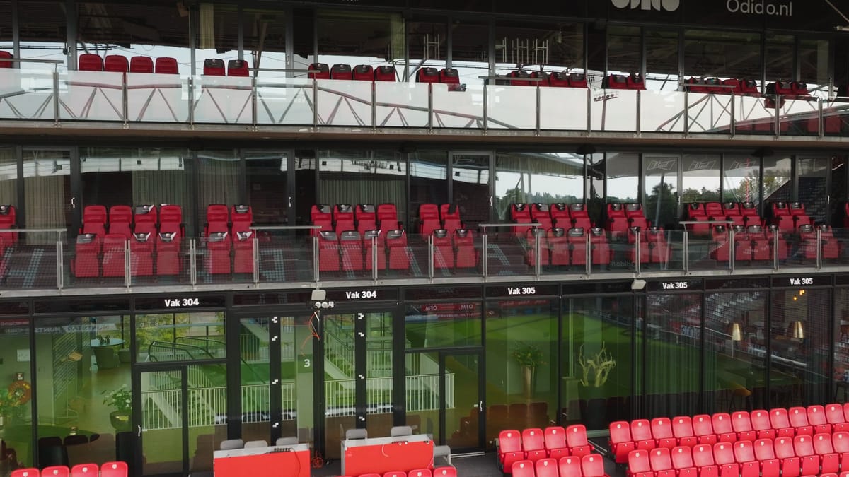
Pull-back past the skyboxes of Stadion Galgenwaard in Utrecht
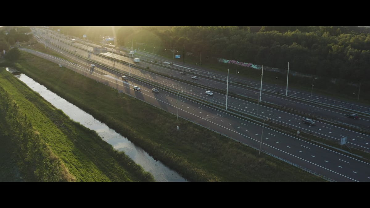
Traffic on a wide motorway near Nieuwegein at golden hour
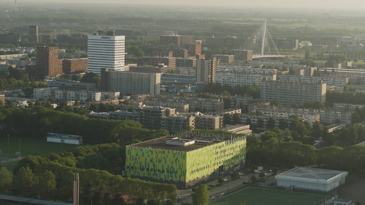
Kanaleneiland in Utrecht with sports fields in evening light
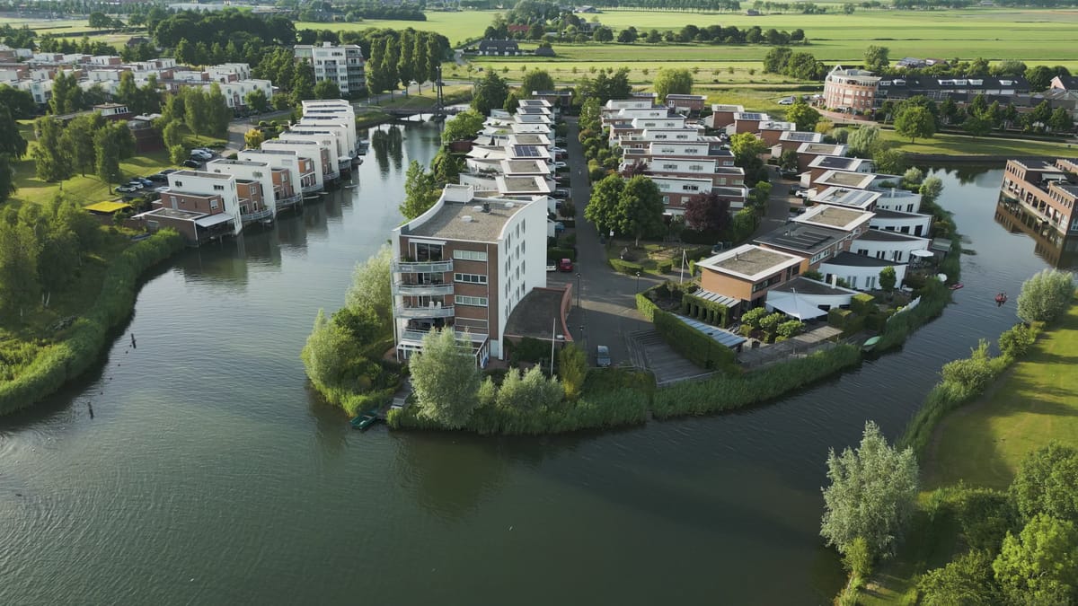
Waterside residential area in Houten in low evening sun
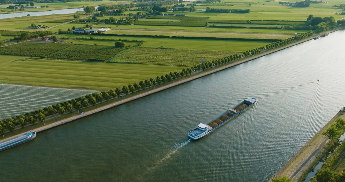
Tracking a cargo ship on a canal past orchards near Wijk bij Duurstede
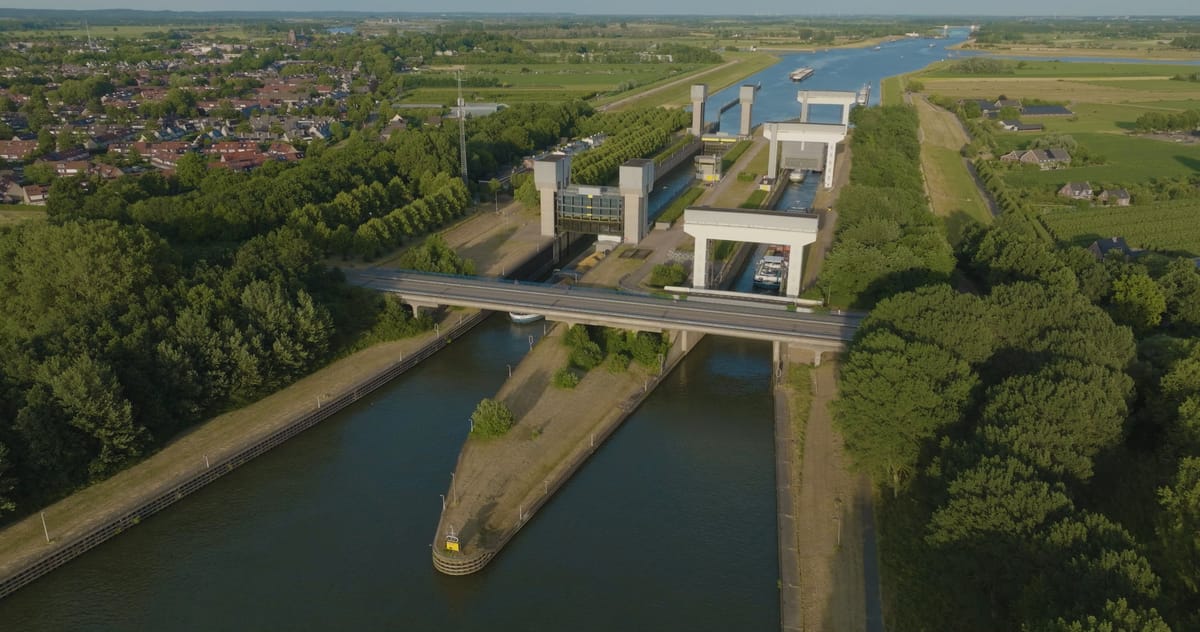
Toward the Prinses Irenesluizen at Wijk bij Duurstede at golden hour
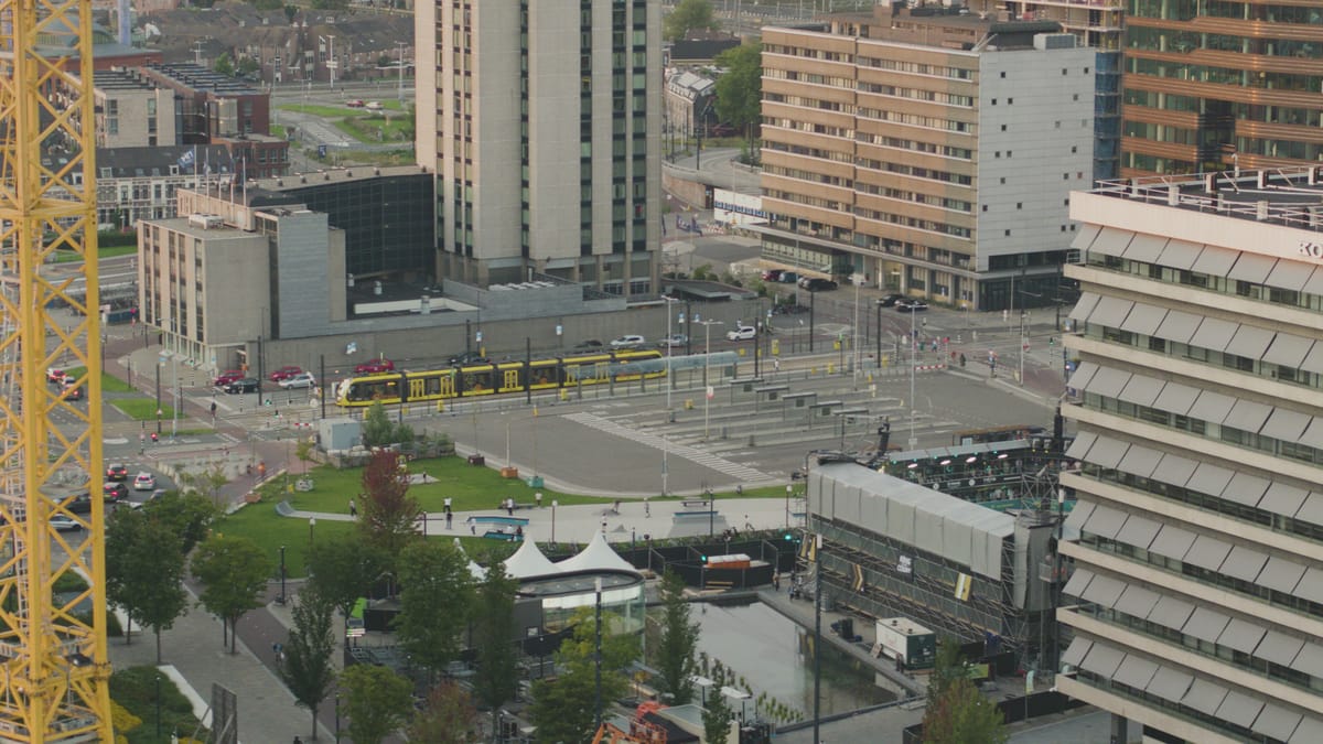
Tram and skatepark on the Jaarbeursplein in Utrecht in evening light
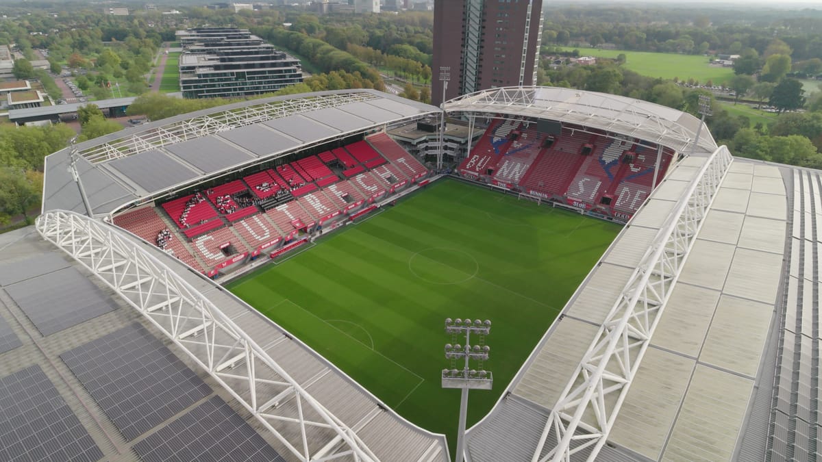
Flying over the roof into Stadion Galgenwaard in Utrecht
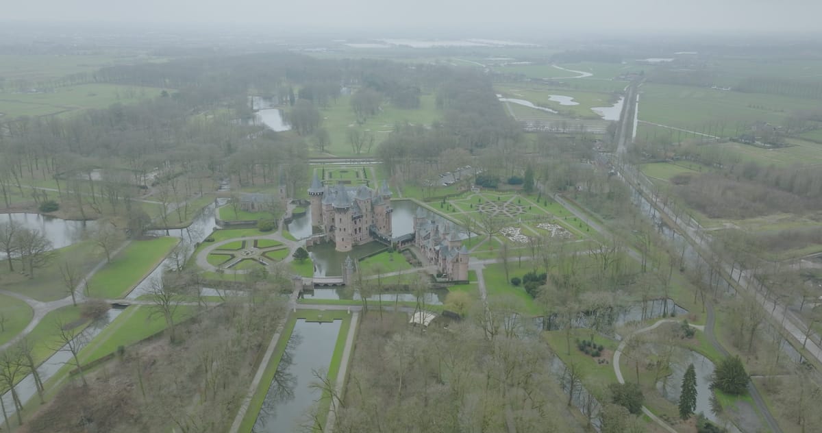
Orbit around Kasteel de Haar in Haarzuilens on a hazy winter day
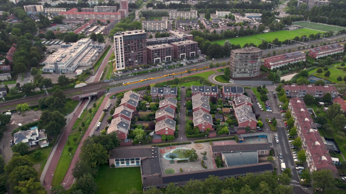
Residential area by the railway with train and pitches in Amersfoort
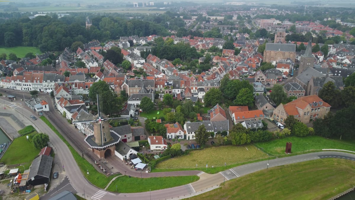
Molen Rijn en Lek windmill and the old centre of Wijk bij Duurstede
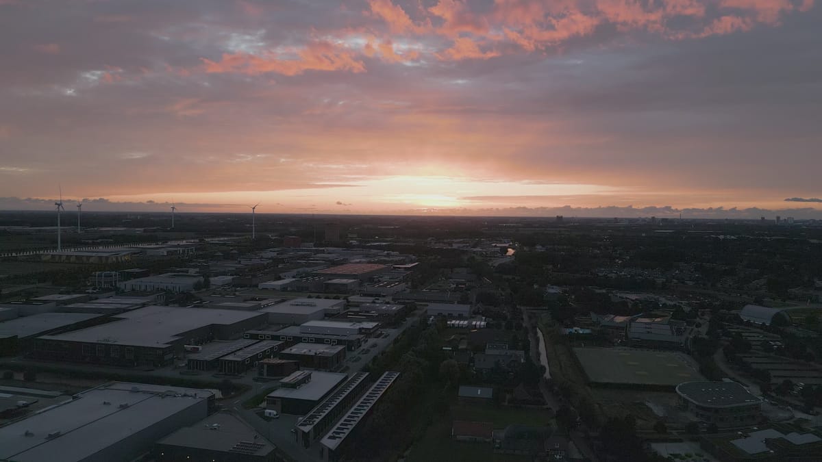
Business park in Houten with wind turbines at sunset
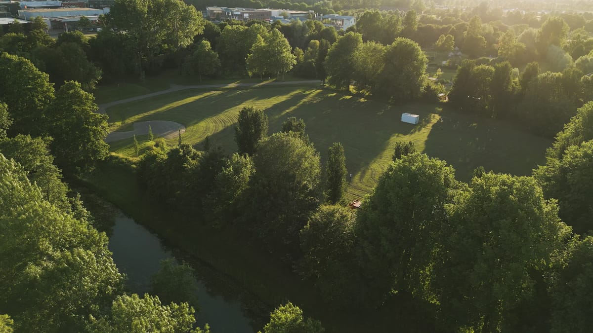
Park with lawn and canal in Houten at golden hour
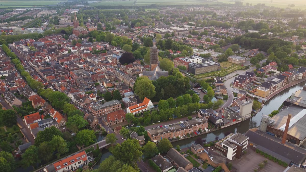
Orbit over the historic town centre of IJsselstein at golden hour
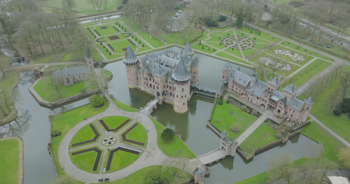
Kasteel de Haar with moat and gardens on a grey winter day
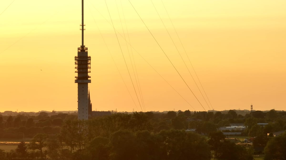
Gerbrandytoren near IJsselstein silhouetted at golden hour
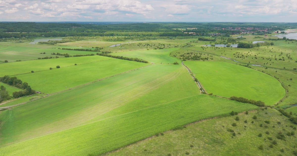
Green floodplains and meadows along the river near Wijk bij Duurstede
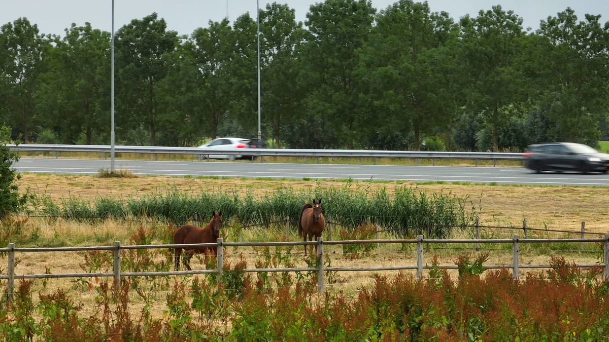
Two horses in a paddock beside the motorway near Houten
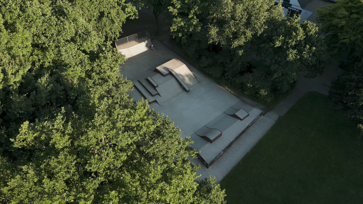
Skatepark among the trees in Houten in low evening light
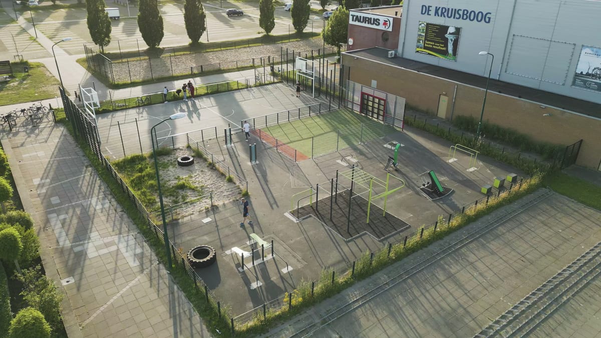
Outdoor sports court and fitness area by De Kruisboog in Houten
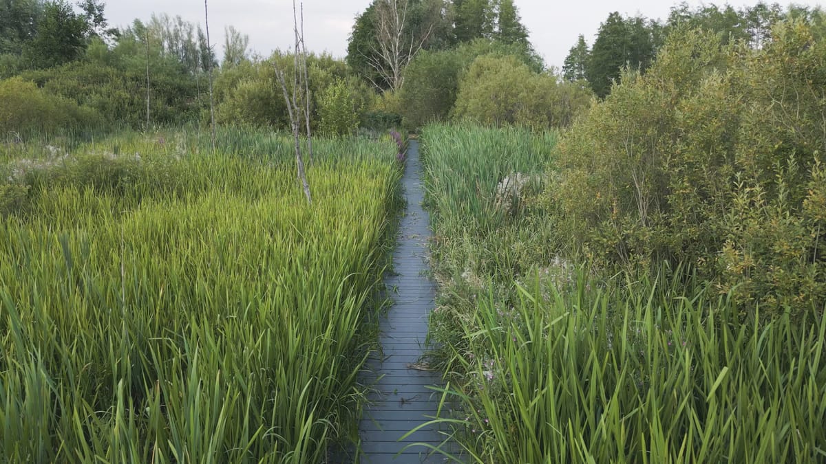
Low flight along a boardwalk through reeds near Schalkwijk
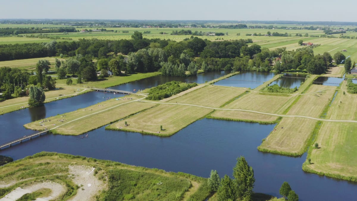
Swimmers and sunbathers at recreation ponds near Groenekan
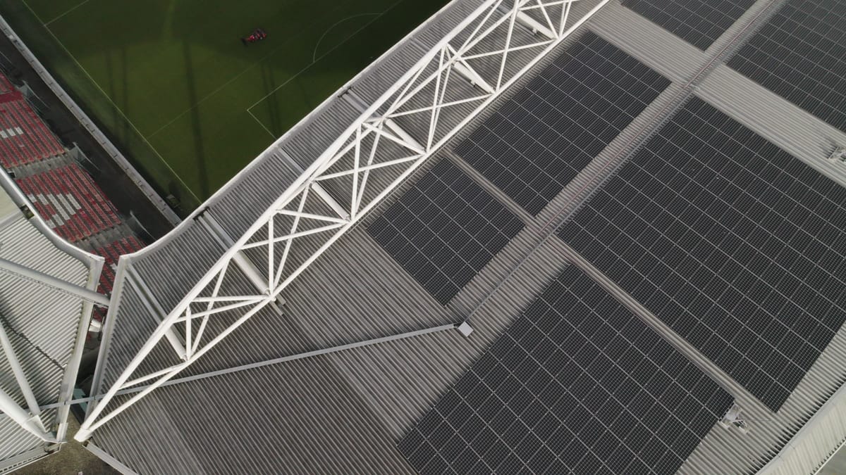
Solar panels on the roof of Stadion Galgenwaard in Utrecht
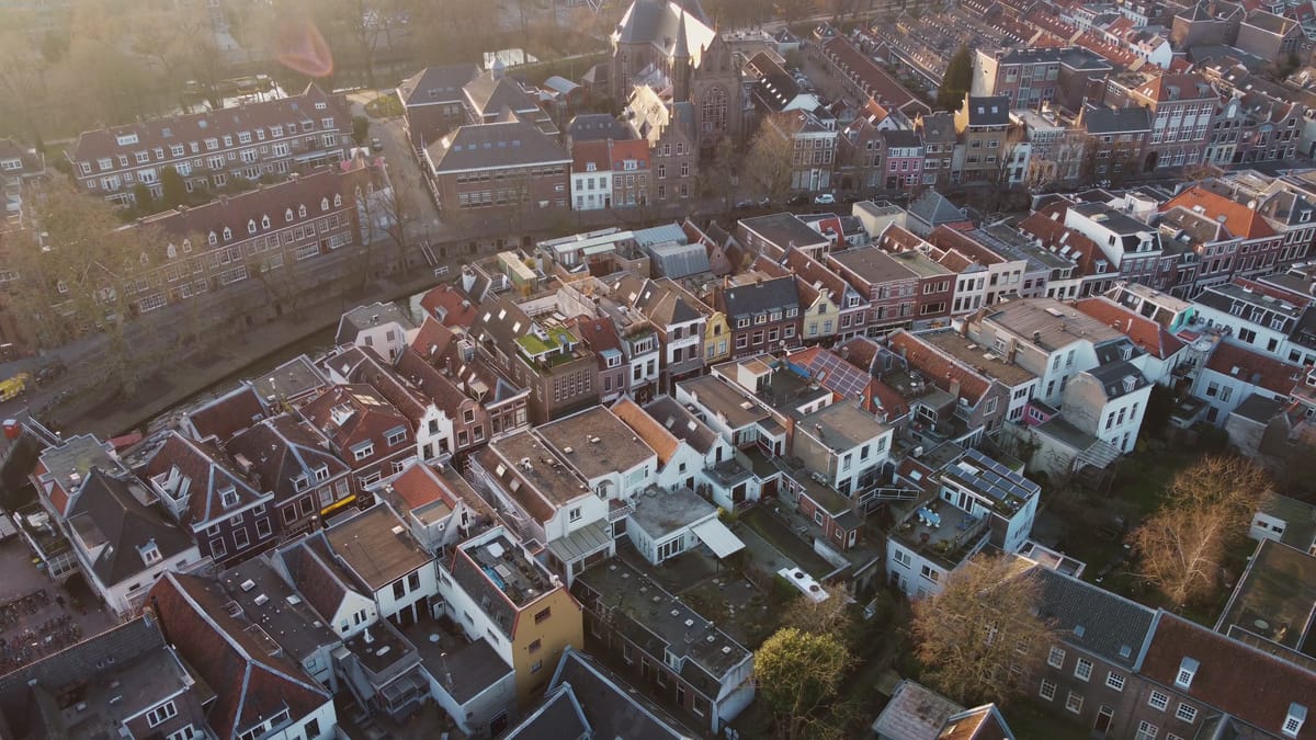
Rooftops and canal in Utrecht's historic centre in low sunlight
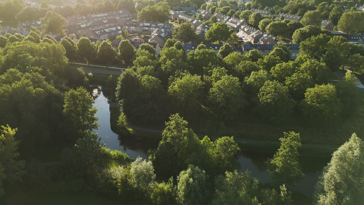
Green park with winding stream and housing in Houten at golden hour
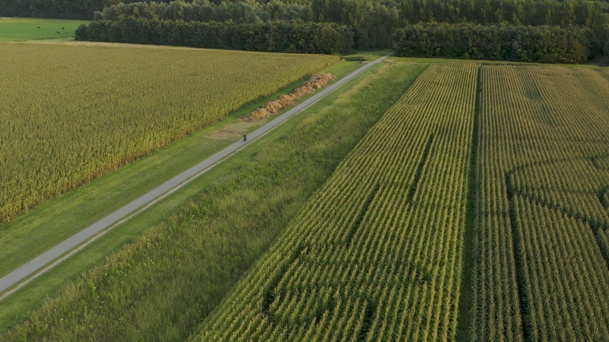
Cyclist on a path between maize fields near Houten in evening sun
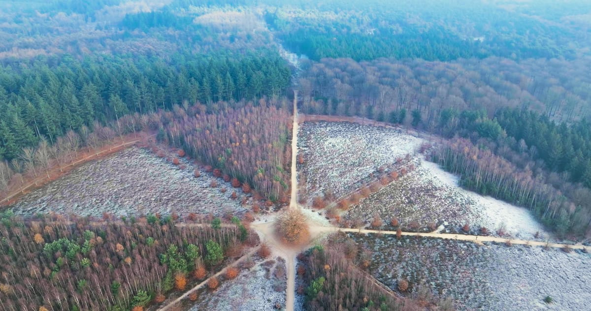
Flyover of a lone oak at a crossing of forest paths near Amerongen
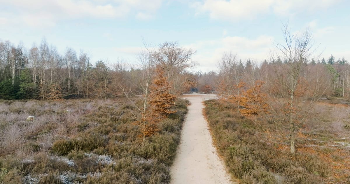
Rising over frosted heath and forest near Amerongen
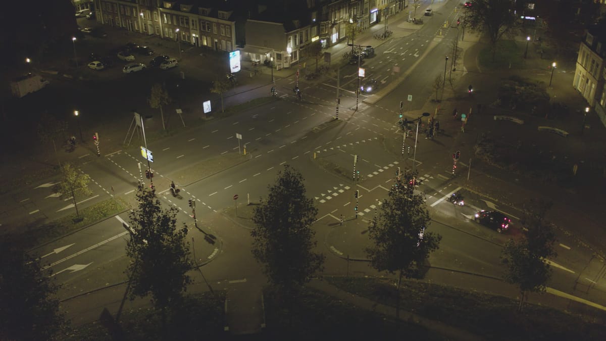
Cyclists and cars at a lit crossroads in Utrecht at night
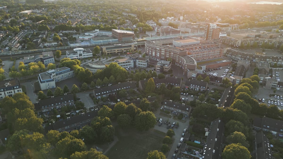
Flight over housing towards Houten town centre at golden hour
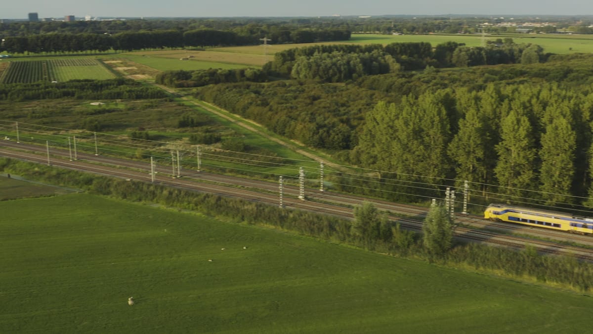
Double-deck train through meadows near Houten with a skyline beyond
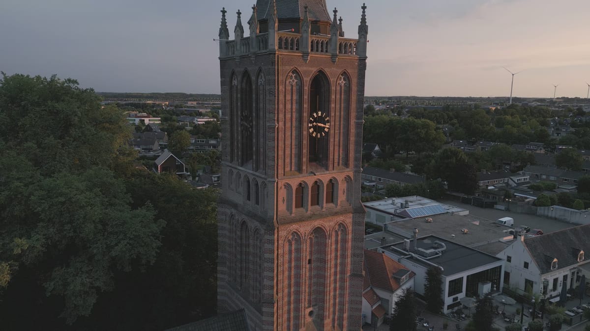
Pulling back from the church tower in Houten at golden hour
About Utrecht
The province of Utrecht sits at the centre of the Netherlands, where the busy urban core around the city of Utrecht meets polders, rivers, woodland and lakes. From the air, the historic city centre stands out with the Dom Tower, the Oudegracht canal and Neude square, while Utrecht Central Station, the Jaarbeurs exhibition centre and the city office building form a modern skyline. Around them spread residential districts such as Kanaleneiland and the new-build neighbourhoods of Leidsche Rijn, crossed by motorways, railway lines and the Amsterdam-Rhine Canal. Amersfoort, with its Church of Our Lady tower, and Houten, with its business parks and roundabouts, add further urban scenes.
Beyond the towns the landscape changes quickly. To the west lie peat meadows and the Loosdrecht Lakes, with farms beside the water near Breukelen. In the south the Lek and Nederrijn rivers wind past floodplains, weirs, locks, Fort Everdingen and the Hagestein bridge. Around Schalkwijk and 't Goy, orchards, fields and solar parks create strong geometric patterns. To the east rise the wooded Utrecht Hill Ridge, Zeist Castle and the open sands of the Soesterduinen, while Castle de Haar and sports grounds like Stadion Galgenwaard offer distinctive subjects.
Whether you may fly a drone over Utrecht depends on the exact spot and time. Always check the current rules on the official drone map.
Towns and locations in Utrecht
Nearby
Themes in Utrecht
Utrecht: need something specific?
Can't find the shot you need? Our certified pilots will film it to order.
Book a custom drone shoot