Utrecht drone footage
918 videos · province · page 2 of 20
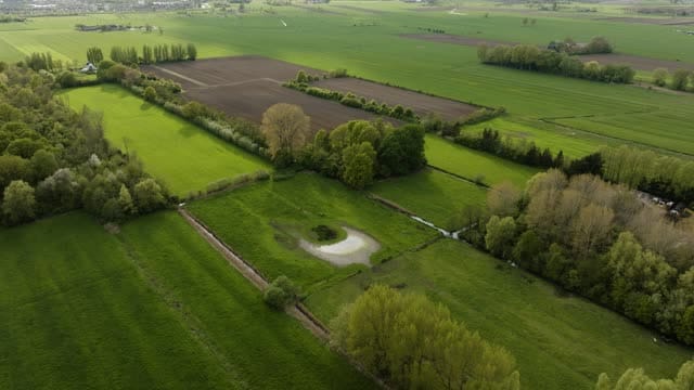
Meadows with a pond and tree belts near Werkhoven in spring
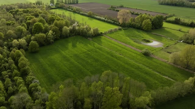
Meadow enclosed by deciduous woodland near Werkhoven in low sun
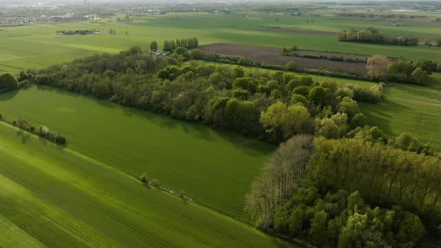
Green fields and deciduous woodland near Werkhoven in low backlight
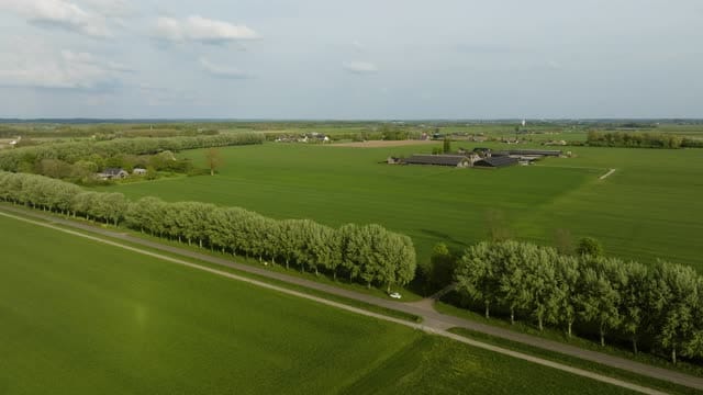
Tree-lined country road through green fields near Werkhoven
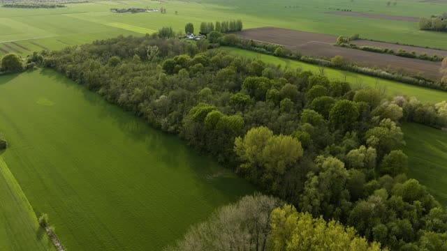
Woodland strip in spring leaf between fields near Werkhoven
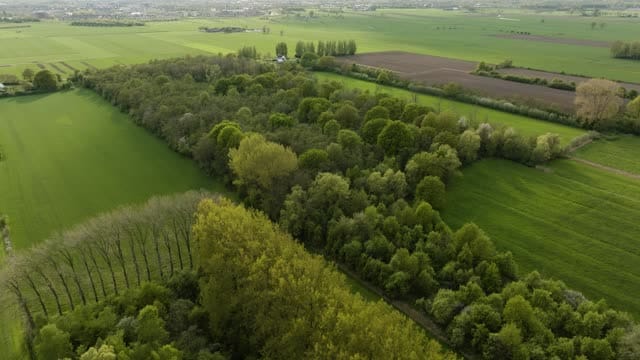
Poplars and woodland between spring fields near Werkhoven
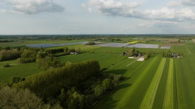
Striped farmland and covered fields near Werkhoven
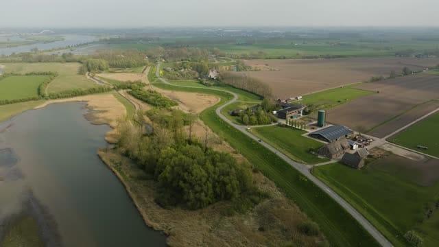
Flight along a winding dike road and floodplain near Everdingen
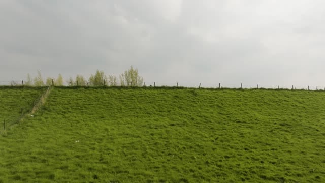
Reveal over the dike towards the river near Everdingen, grey sky
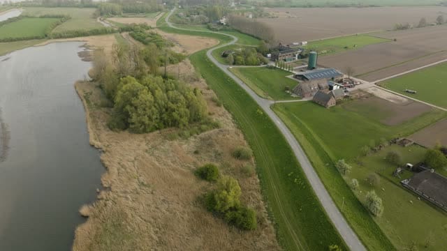
Dike road past a floodplain and farmyard near Everdingen
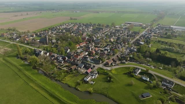
Orbit around the village of Everdingen with church tower and dike
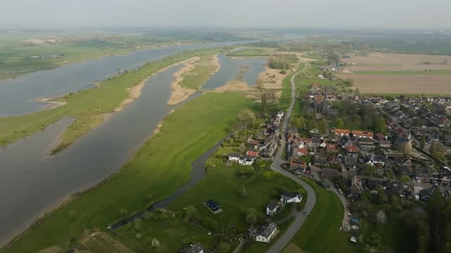
Everdingen beside the river with side channels and floodplains
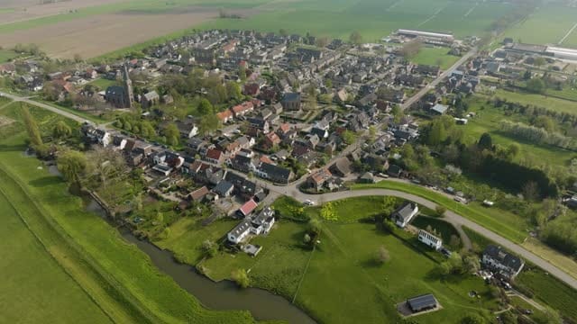
Everdingen with church tower and stream in spring sunshine
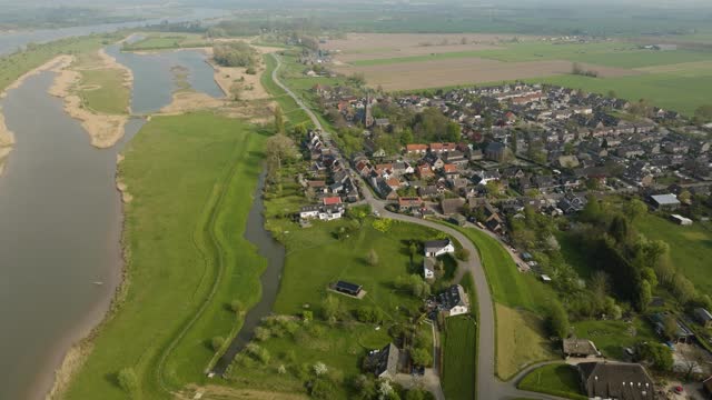
Everdingen on the Lek dike with the river floodplains
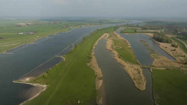
Side channels and groynes along the Lek near Schalkwijk
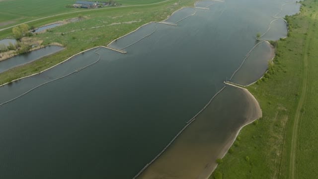
Longitudinal dams and sandy banks in the Lek near Schalkwijk
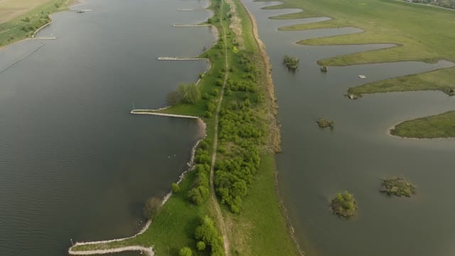
Groynes and side channel along the Lek near Schalkwijk
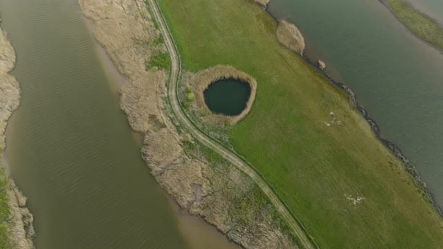
Round pond between side channels in the Lek floodplains
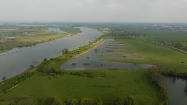
Flyover of side channels and islets along the Lek near Schalkwijk
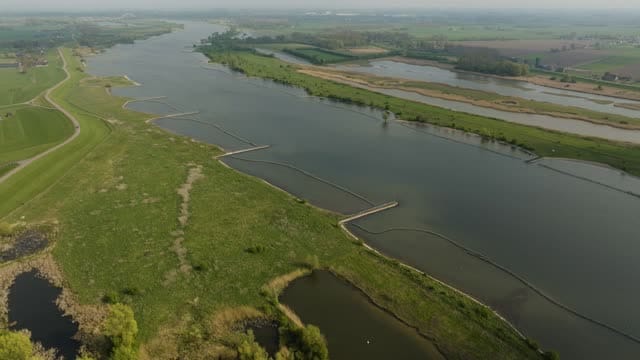
The Lek with longitudinal dams and floodplains near Schalkwijk
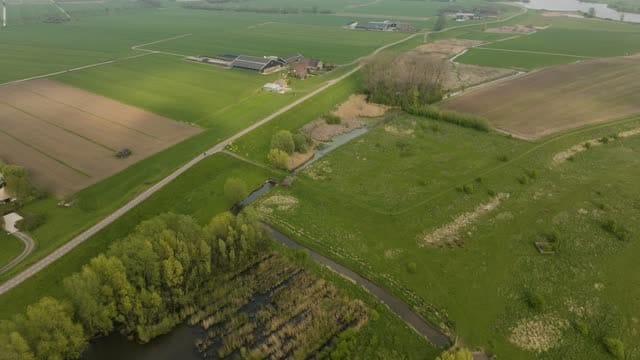
Farm and fields behind the dike near Schalkwijk
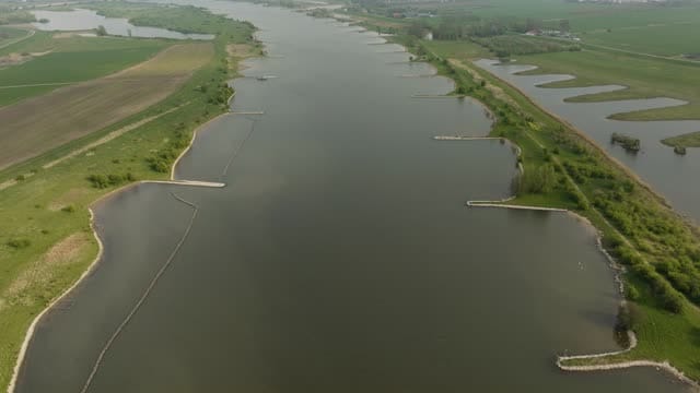
Flyover of the Lek with groynes near Schalkwijk
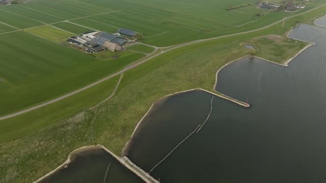
Farm on the dike along the Lek near Schalkwijk
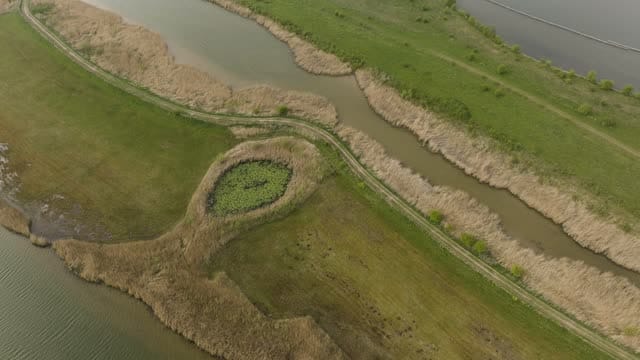
Reed-lined creeks and footpath in a wetland near Schalkwijk
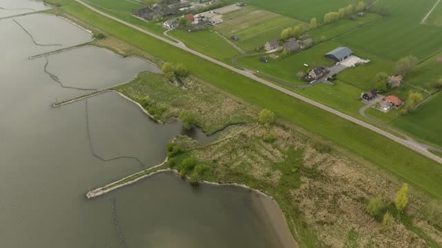
River dike with groynes and farmhouses near Schalkwijk
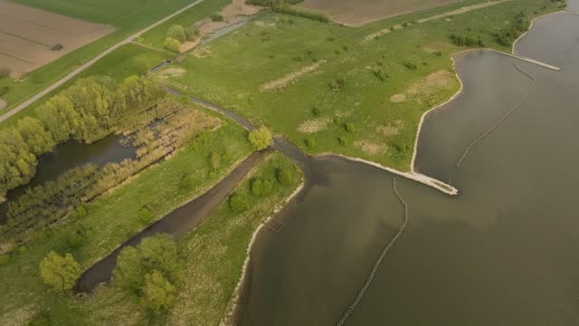
Floodplain with side channel and groynes near Schalkwijk
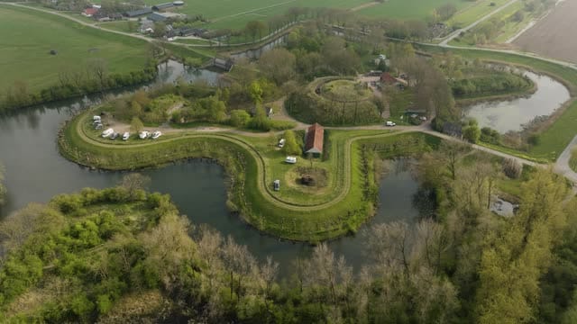
Orbit around Fort Everdingen and its moat in spring
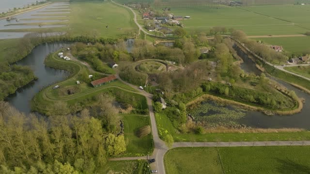
Fort Everdingen with its moats and the Lek in the background
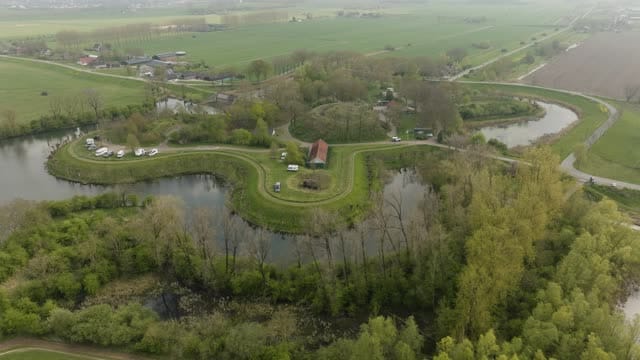
Fort Everdingen and its moat on an overcast spring day
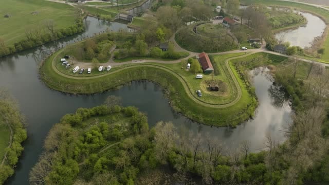
Curved fort island of Fort Everdingen with parked campers
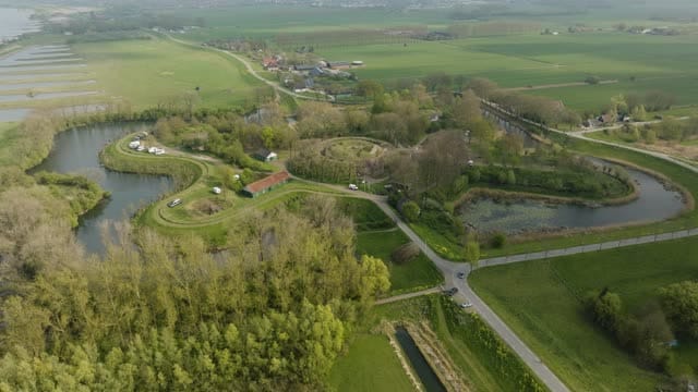
Fort Everdingen between poplars and polder land
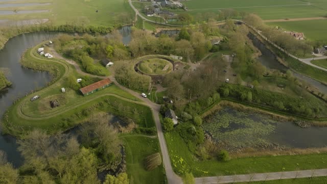
Pull-back over Fort Everdingen and its moats
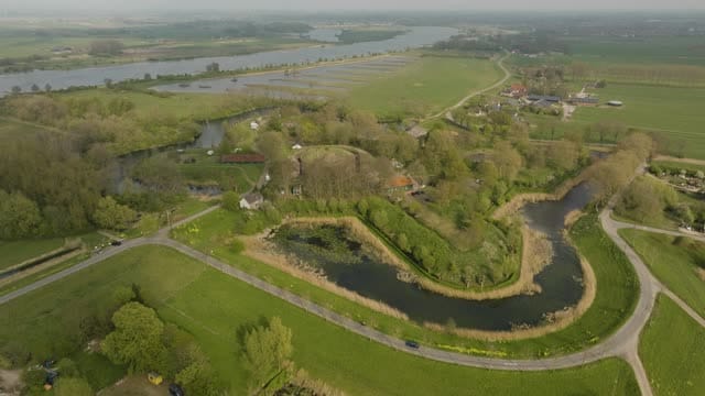
Fort Everdingen with the Lek stretching to a hazy horizon
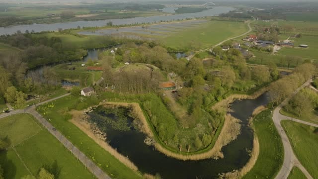
Fort Everdingen with its moat and the Lek river behind
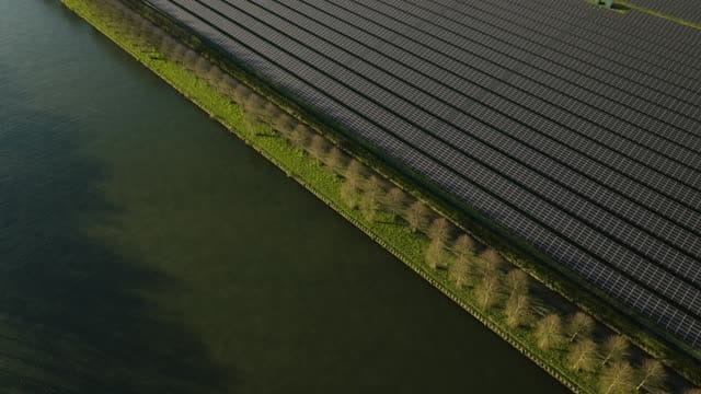
Solar park along a canal near 't Goy at golden hour
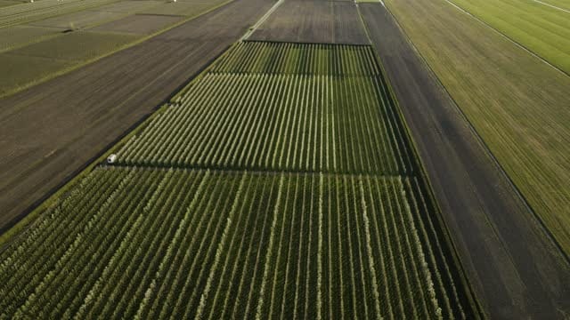
Orchard in long rows between fields near 't Goy in spring
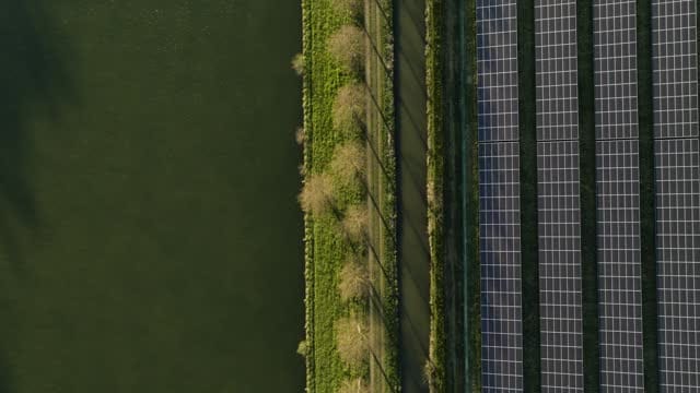
Top-down of solar panels and tree row along a canal near 't Goy
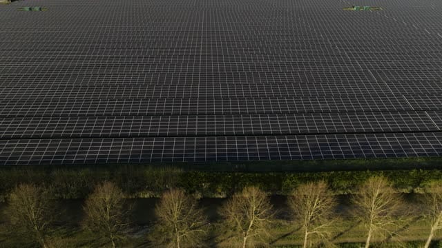
Solar park behind a row of bare trees near 't Goy in low sunlight
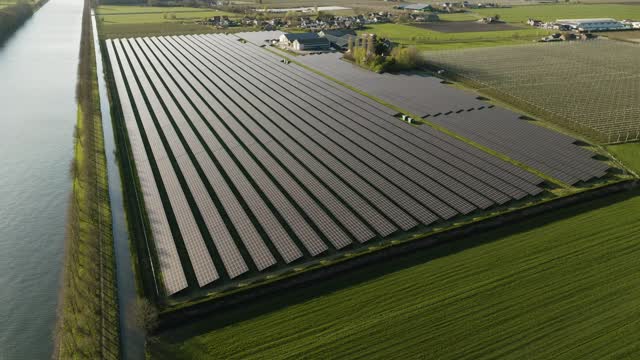
Orbit around a solar park beside a canal near 't Goy
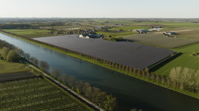
Solar park along a wide canal near 't Goy in spring
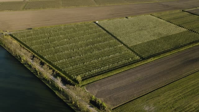
Orchards and ploughed fields along a canal near 't Goy
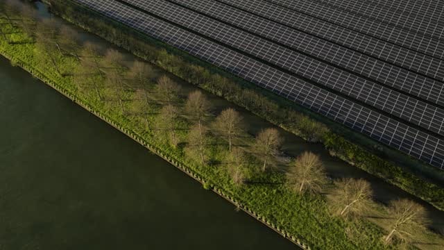
Solar park along a canal near Schalkwijk at golden hour
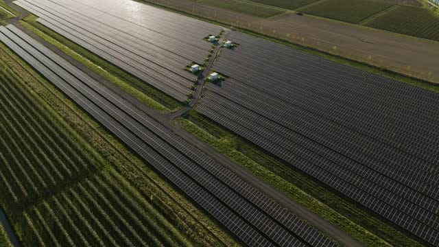
Solar park among orchards near Schalkwijk in low sunlight
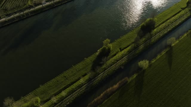
Canal with solar park and orchards near Schalkwijk in low sunlight
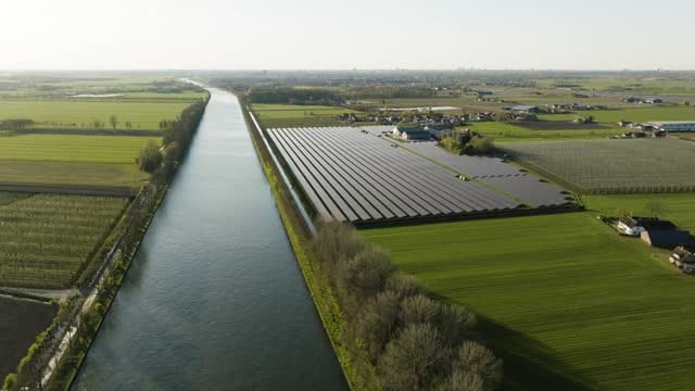
Solar park beside a straight canal near Schalkwijk and 't Goy
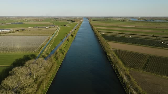
Straight canal between orchards near Schalkwijk in low sunlight
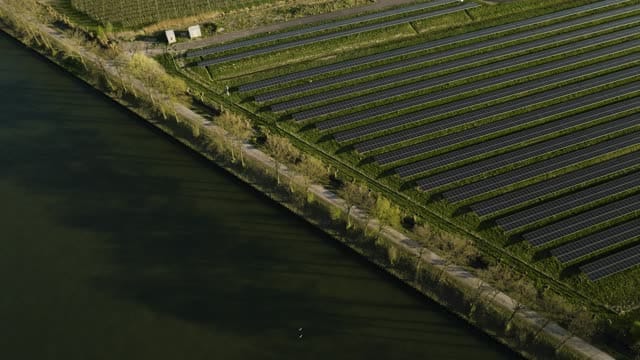
Rows of solar panels beside a canal near Schalkwijk in warm light
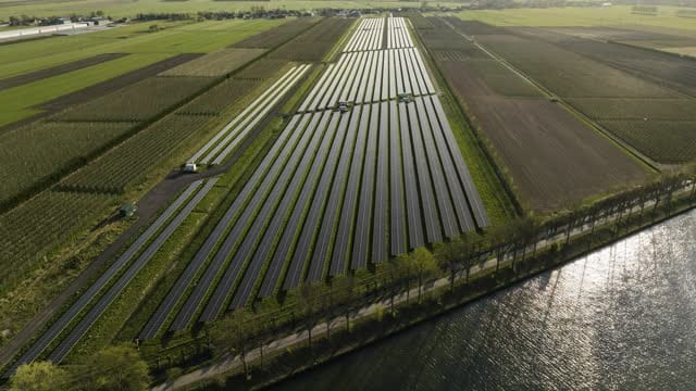
Long solar park between orchards by a canal near Schalkwijk
About Utrecht
The province of Utrecht sits at the centre of the Netherlands, where the busy urban core around the city of Utrecht meets polders, rivers, woodland and lakes. From the air, the historic city centre stands out with the Dom Tower, the Oudegracht canal and Neude square, while Utrecht Central Station, the Jaarbeurs exhibition centre and the city office building form a modern skyline. Around them spread residential districts such as Kanaleneiland and the new-build neighbourhoods of Leidsche Rijn, crossed by motorways, railway lines and the Amsterdam-Rhine Canal. Amersfoort, with its Church of Our Lady tower, and Houten, with its business parks and roundabouts, add further urban scenes.
Beyond the towns the landscape changes quickly. To the west lie peat meadows and the Loosdrecht Lakes, with farms beside the water near Breukelen. In the south the Lek and Nederrijn rivers wind past floodplains, weirs, locks, Fort Everdingen and the Hagestein bridge. Around Schalkwijk and 't Goy, orchards, fields and solar parks create strong geometric patterns. To the east rise the wooded Utrecht Hill Ridge, Zeist Castle and the open sands of the Soesterduinen, while Castle de Haar and sports grounds like Stadion Galgenwaard offer distinctive subjects.
Whether you may fly a drone over Utrecht depends on the exact spot and time. Always check the current rules on the official drone map.
Towns and locations in Utrecht
Nearby
Themes in Utrecht
Utrecht: need something specific?
Can't find the shot you need? Our certified pilots will film it to order.
Book a custom drone shoot