Utrecht drone footage
918 videos · province · page 4 of 20
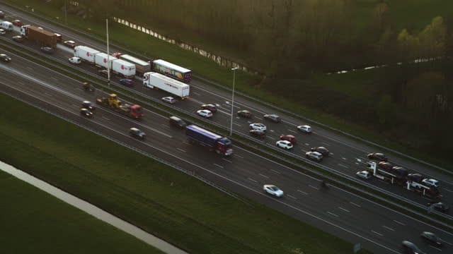
Heavy traffic on the A12 near Utrecht during golden hour
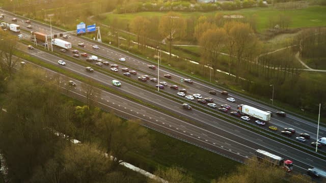
Rush-hour traffic on the A12 near Utrecht at golden hour
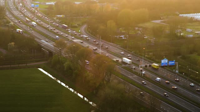
Traffic on the A12 near Utrecht in golden backlight
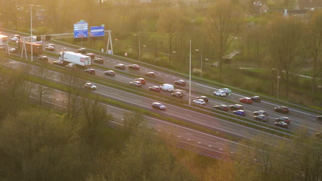
Traffic jam on the A12 near Utrecht in low sunlight
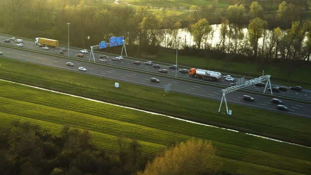
Tracking shot of a tanker lorry on the A12 near Utrecht
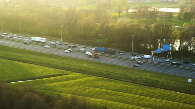
A12 near Utrecht between green meadows at golden hour
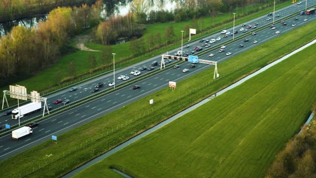
Flyover along the A12 near Utrecht with meadow and pond
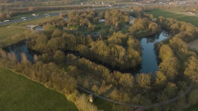
Fort bij Vechten in Bunnik with its moat at golden hour
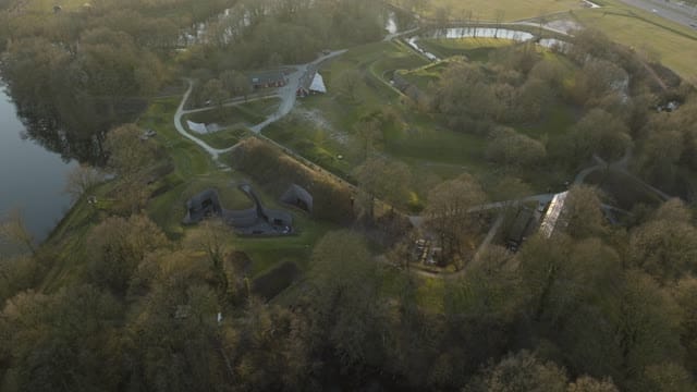
Pull-back over Fort bij Vechten in Bunnik in hazy light
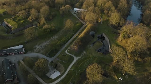
Orbit above the bunkers and ramparts of Fort bij Vechten in Bunnik
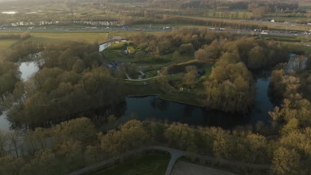
Flyover towards Fort Vechten near Bunnik at golden hour
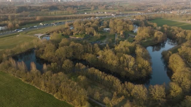
Over the moat towards Fort Vechten near Bunnik at golden hour
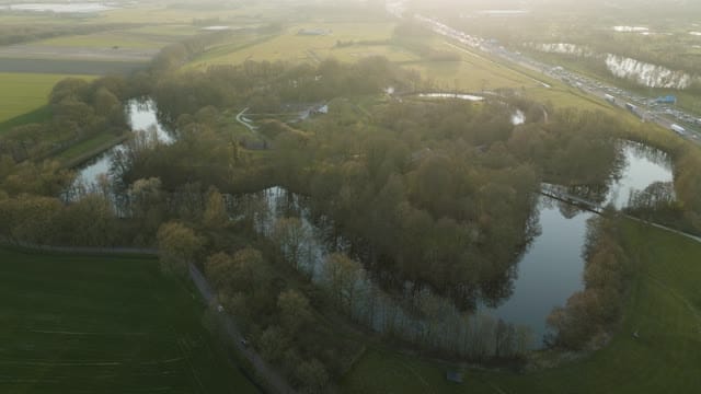
Fort Vechten near Bunnik with moats in hazy backlight
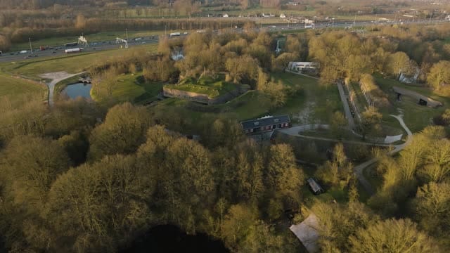
Pull-back from Fort Vechten near Bunnik at golden hour
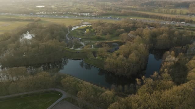
Fort Vechten near Bunnik with moat and trees in soft evening light
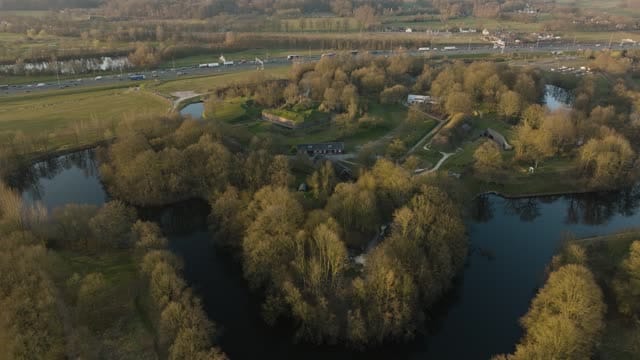
Fort Vechten near Bunnik ringed by its moat at golden hour
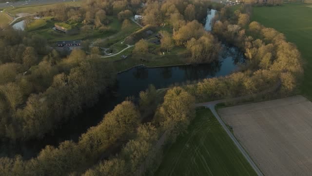
Flyover from farmland and moat towards Fort Vechten near Bunnik
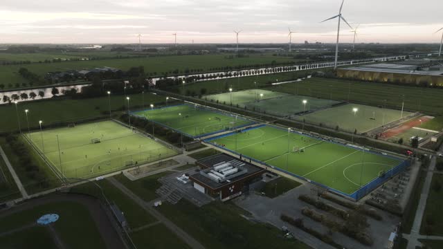
Floodlit sports park with wind turbines in Houten at dusk
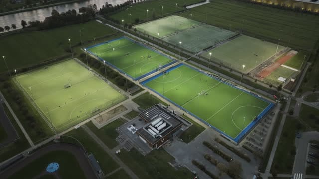
Floodlit hockey pitches at a sports park in Houten at dusk
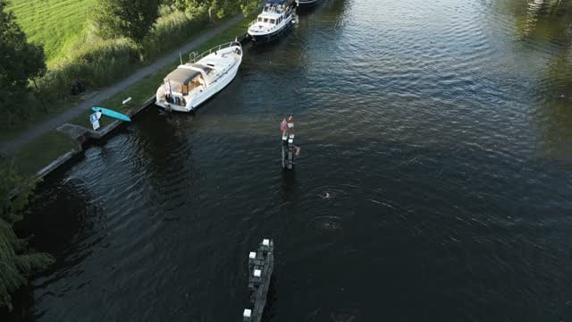
Swimmers jump off a mooring pole into the river at Loenen aan de Vecht
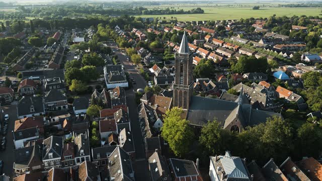
Orbit around the church tower of Loenen aan de Vecht at golden hour
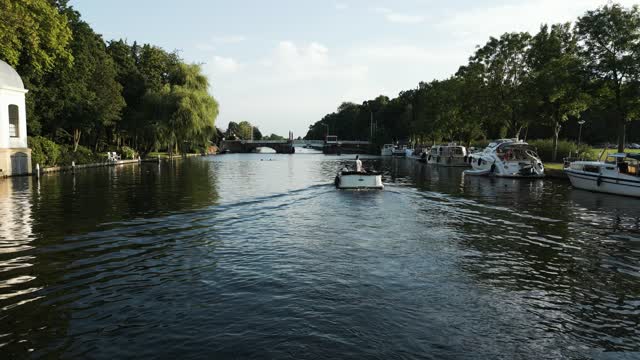
Low flight over the river to a bascule bridge in Loenen aan de Vecht
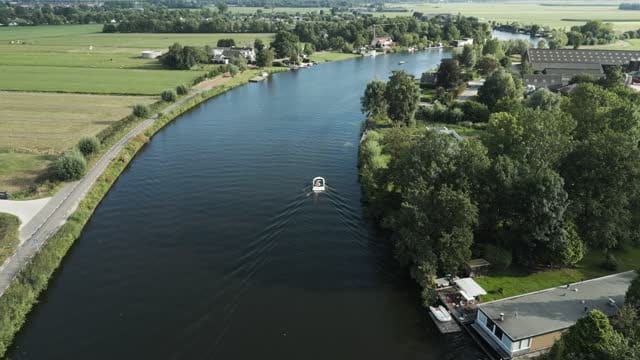
Tracking an open boat on the river near Loenen aan de Vecht
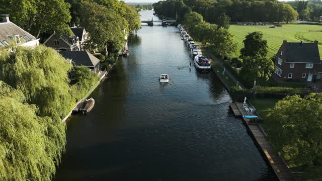
Tracking an open boat along the river in Loenen aan de Vecht
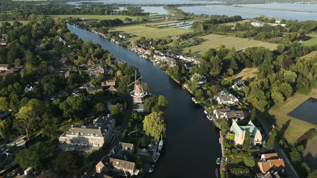
Windmill on the river in Loenen aan de Vecht at golden hour
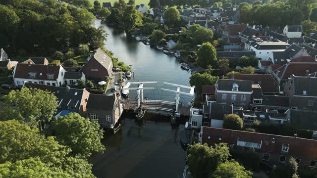
Flying over the white drawbridge in Loenen aan de Vecht at golden hour
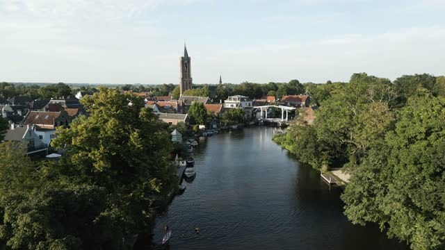
Towards the church tower and drawbridge of Loenen aan de Vecht
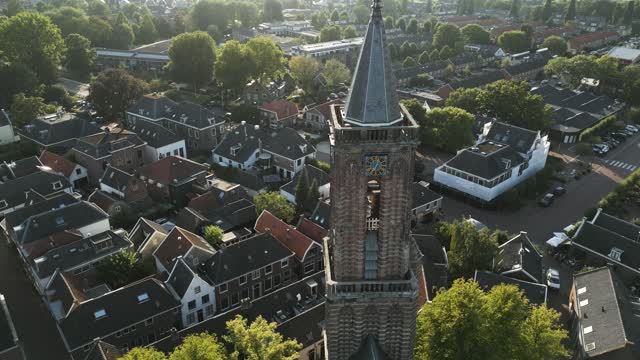
Pull-back from the church tower in Loenen aan de Vecht at golden hour
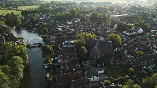
Church and village centre of Loenen aan de Vecht at golden hour
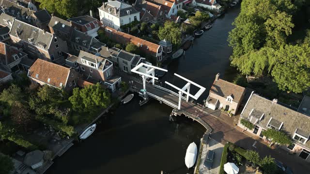
White drawbridge over the river in Loenen aan de Vecht
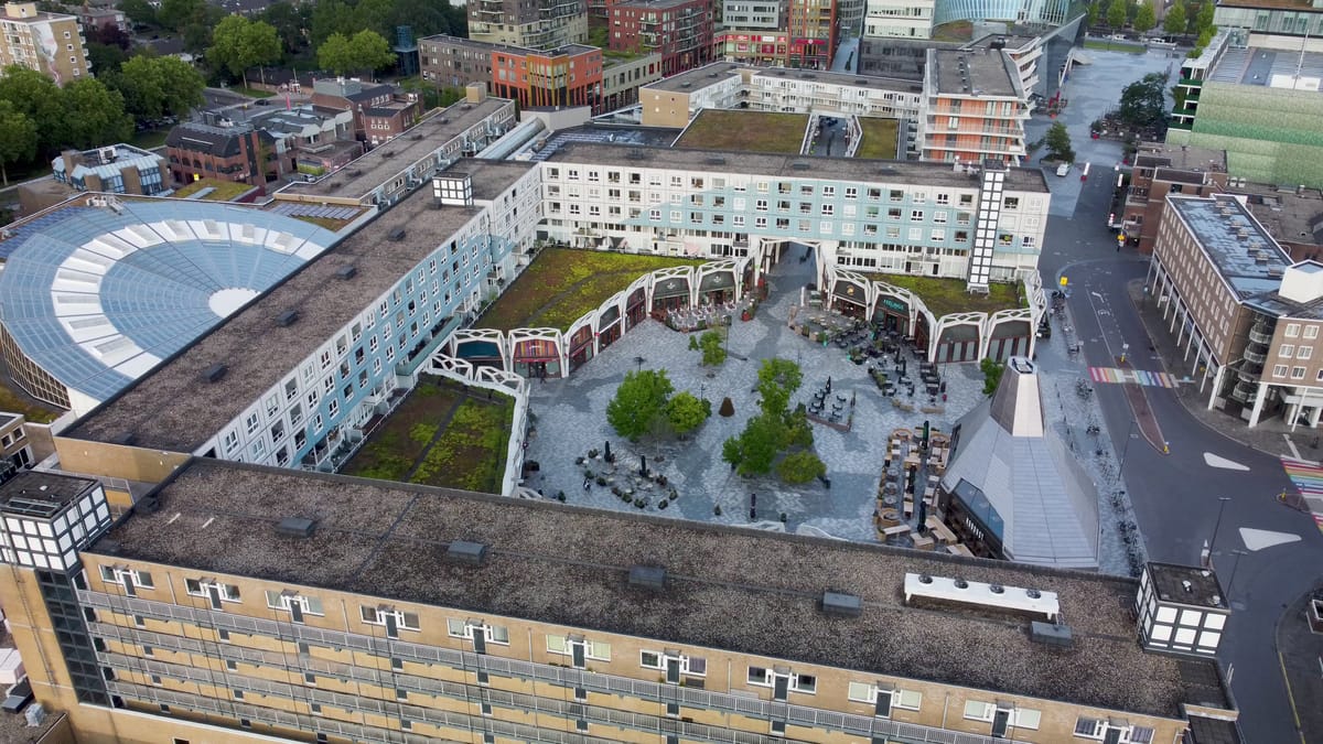
Square with café terraces and green roofs in central Nieuwegein
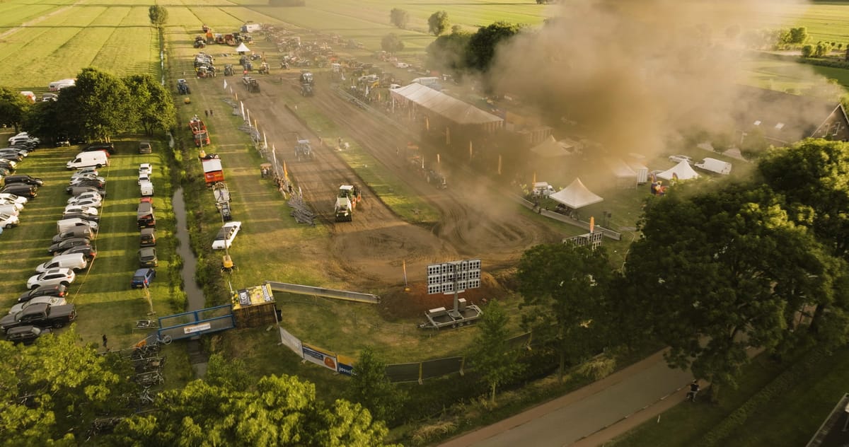
Tractor pulling event near Utrecht at golden hour
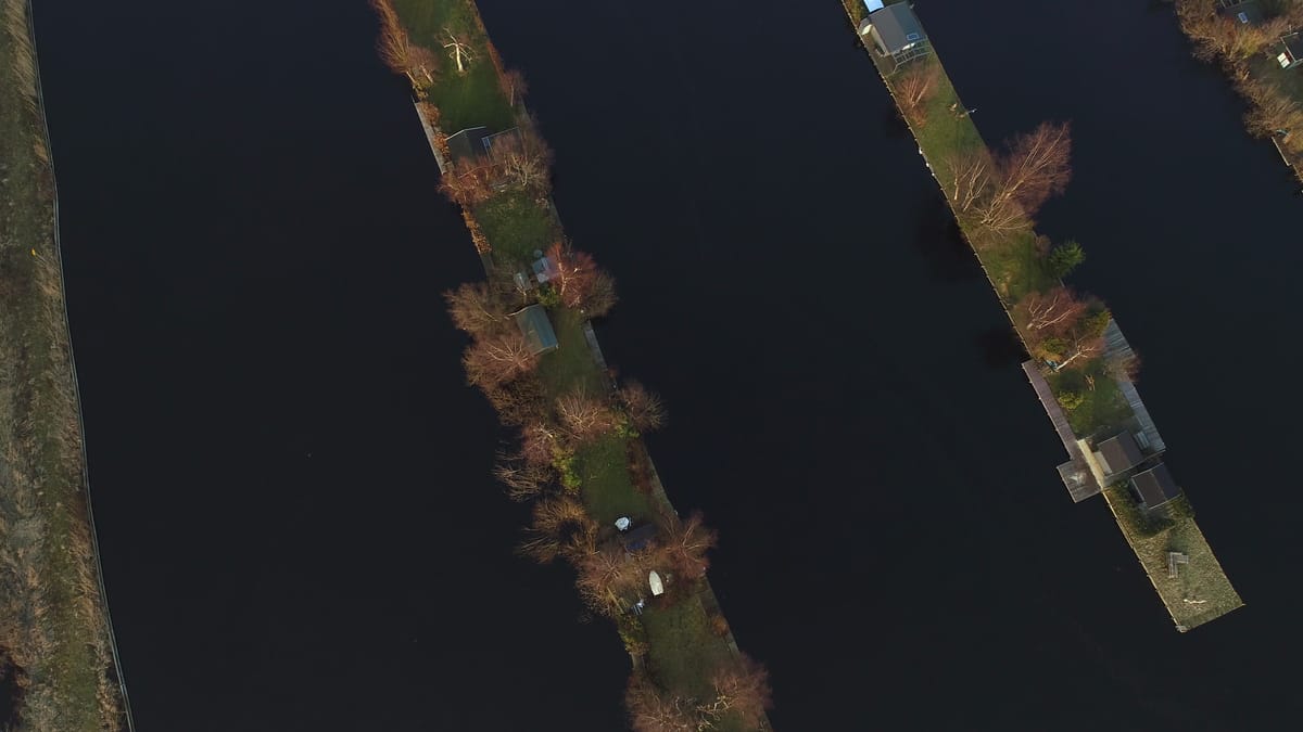
Top-down over narrow islets with cabins in the lakes near Breukelen
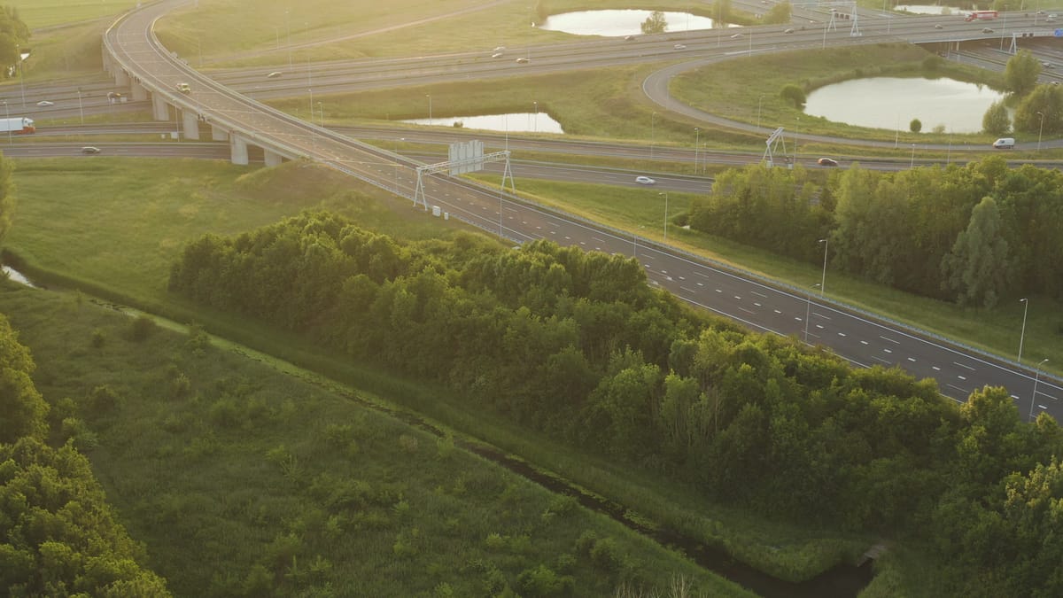
Motorway interchange near Utrecht at golden hour
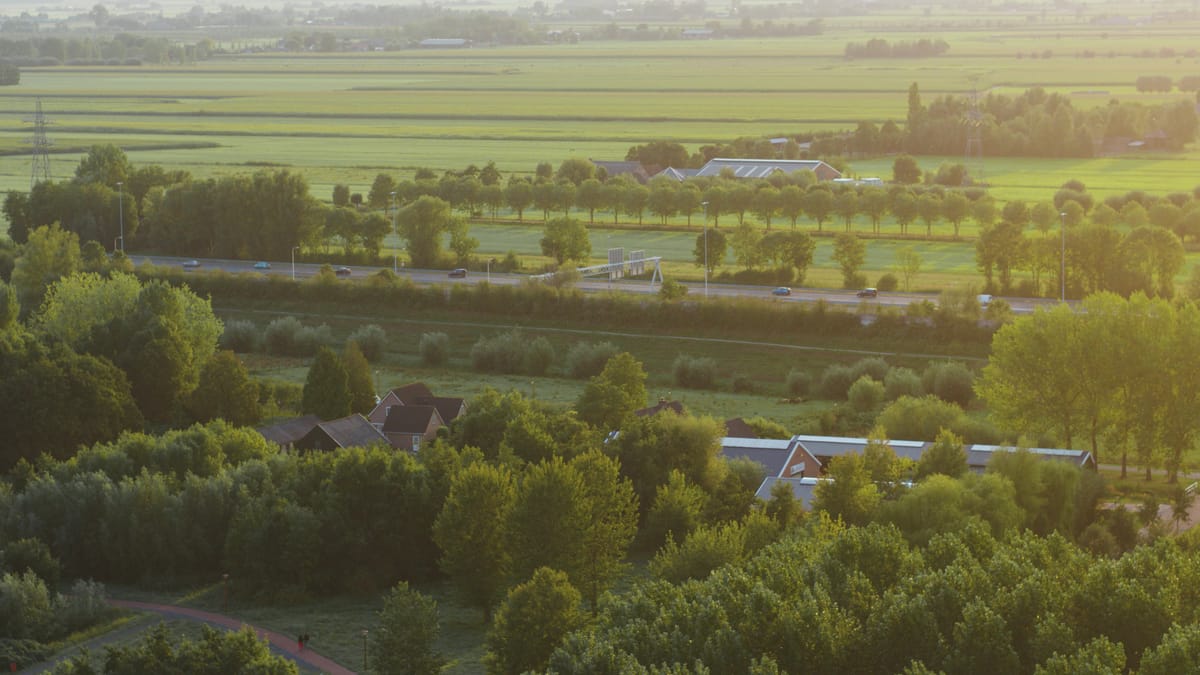
Motorway through green polder landscape in Utrecht at golden hour
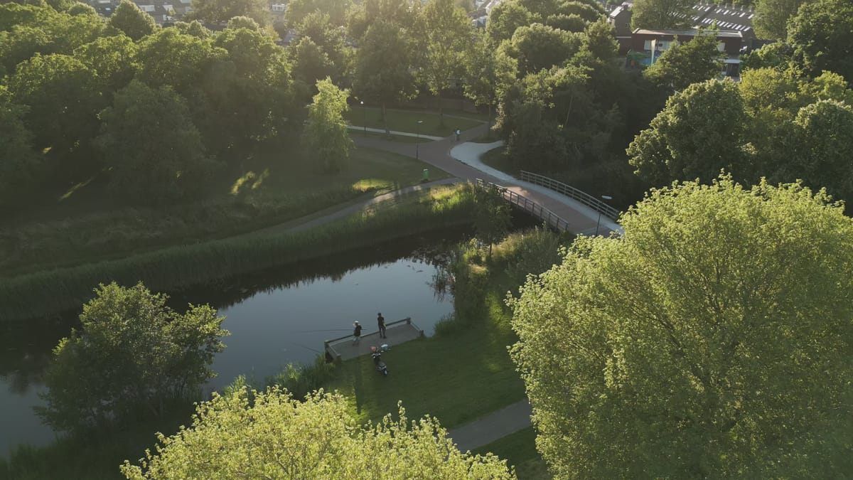
Anglers by a waterway in a residential park in Houten at golden hour
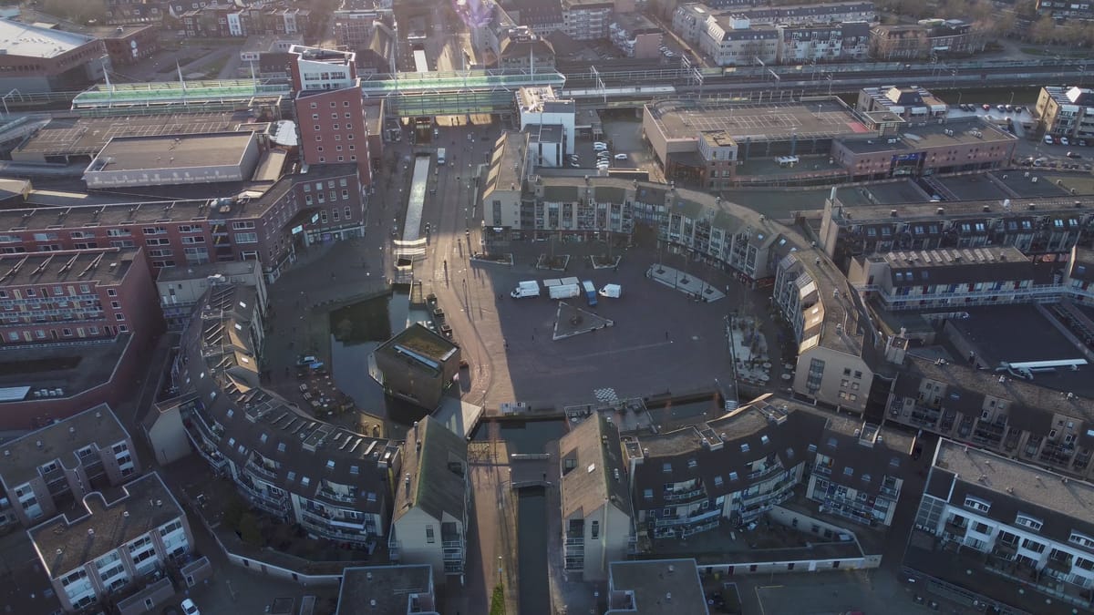
Circular square in the centre of Houten in low sunlight
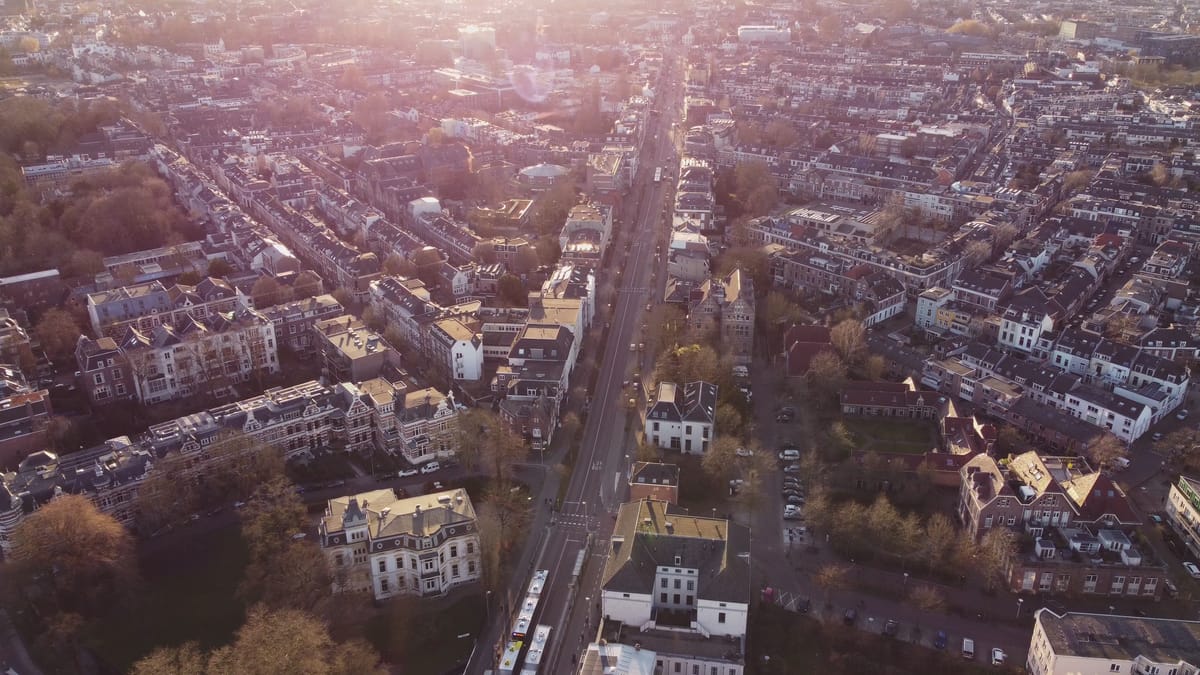
Flight over residential streets and a bus route in Utrecht in low sun
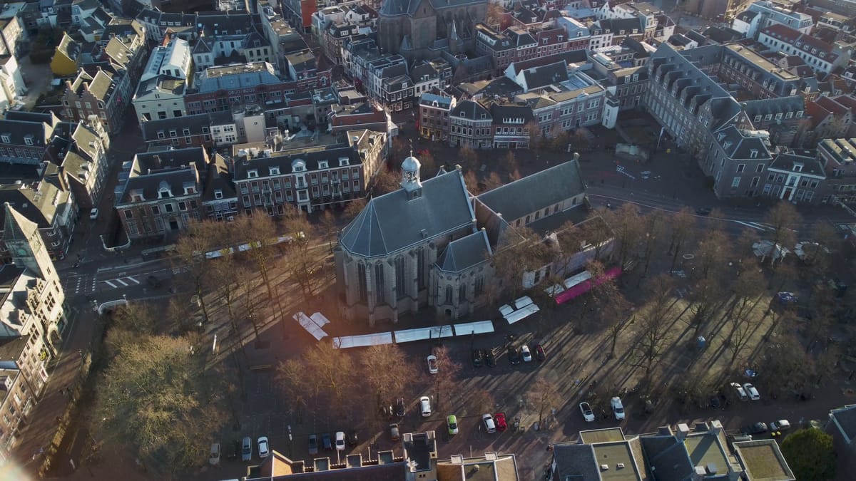
Gothic church on a tree-lined square in Utrecht in low sunlight
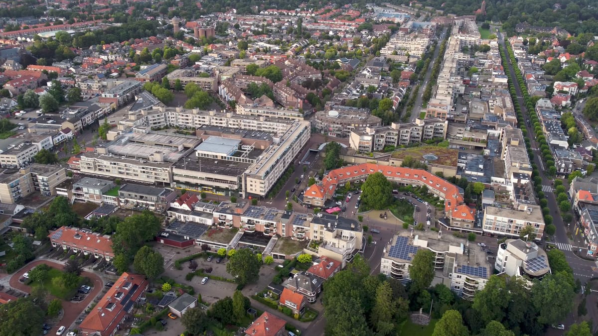
Wide aerial view of Zeist town centre with avenues and housing blocks
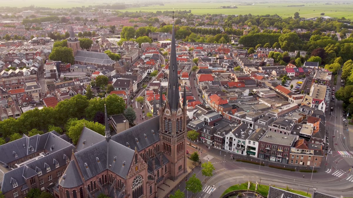
Church spire above the town centre of Woerden at golden hour
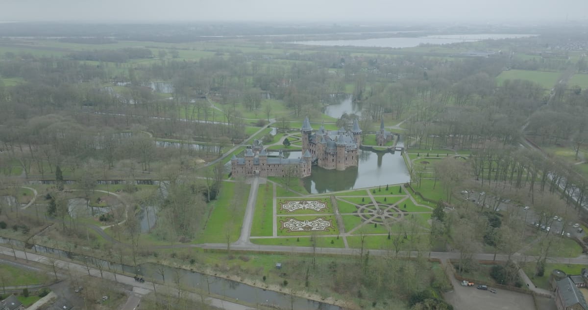
Orbit around Kasteel de Haar in Haarzuilens on a grey day
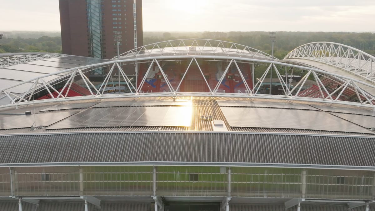
Reveal over the roof of Stadion Galgenwaard in Utrecht in low sun
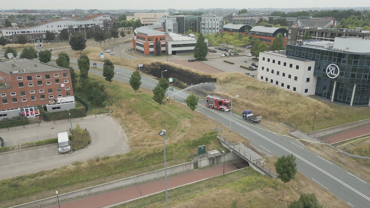
Fire brigade extinguishing a roadside grass fire in Houten
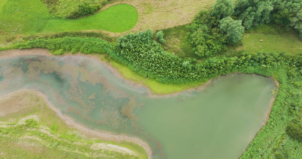
Top-down view of a side channel in the Lunenburgerwaard floodplain
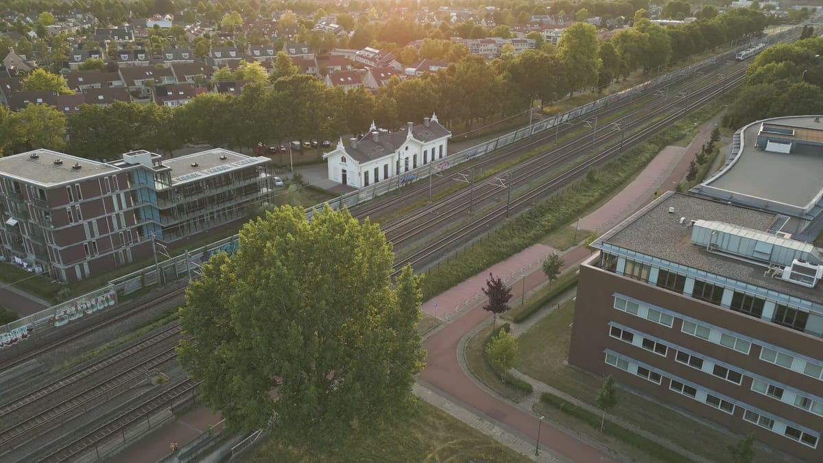
Train approaching the old station building in Houten at golden hour
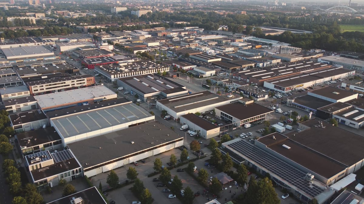
Business park in Utrecht in low evening light
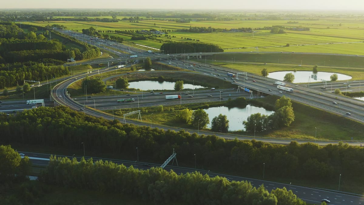
Orbit around a busy motorway interchange near Utrecht at golden hour
About Utrecht
The province of Utrecht sits at the centre of the Netherlands, where the busy urban core around the city of Utrecht meets polders, rivers, woodland and lakes. From the air, the historic city centre stands out with the Dom Tower, the Oudegracht canal and Neude square, while Utrecht Central Station, the Jaarbeurs exhibition centre and the city office building form a modern skyline. Around them spread residential districts such as Kanaleneiland and the new-build neighbourhoods of Leidsche Rijn, crossed by motorways, railway lines and the Amsterdam-Rhine Canal. Amersfoort, with its Church of Our Lady tower, and Houten, with its business parks and roundabouts, add further urban scenes.
Beyond the towns the landscape changes quickly. To the west lie peat meadows and the Loosdrecht Lakes, with farms beside the water near Breukelen. In the south the Lek and Nederrijn rivers wind past floodplains, weirs, locks, Fort Everdingen and the Hagestein bridge. Around Schalkwijk and 't Goy, orchards, fields and solar parks create strong geometric patterns. To the east rise the wooded Utrecht Hill Ridge, Zeist Castle and the open sands of the Soesterduinen, while Castle de Haar and sports grounds like Stadion Galgenwaard offer distinctive subjects.
Whether you may fly a drone over Utrecht depends on the exact spot and time. Always check the current rules on the official drone map.
Towns and locations in Utrecht
Nearby
Themes in Utrecht
Utrecht: need something specific?
Can't find the shot you need? Our certified pilots will film it to order.
Book a custom drone shoot